
A status yellow snow and rain warning will come into force for Cork, Kerry, Waterford and Wexford later on Thursday as Storm Goretti reaches Ireland.
The warning is in place from midday until 8pm, with Met Éireann saying rain will be heavy at times and could turn to sleet and snow in places this afternoon.
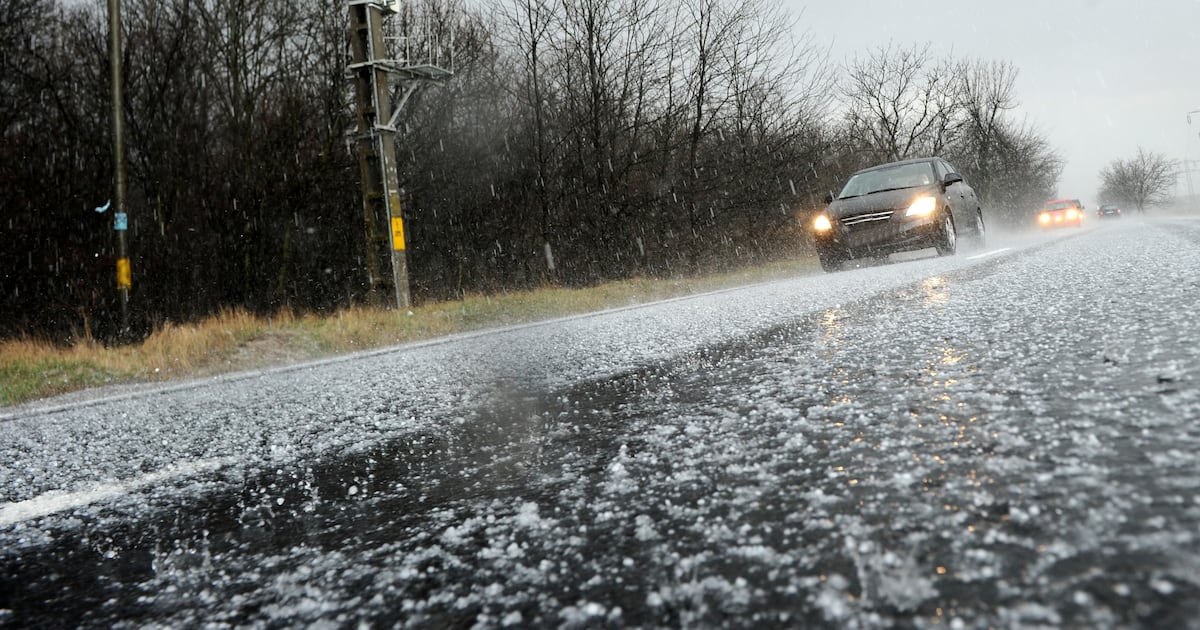
The forecaster has also warned of hazardous travelling conditions, spot flooding, poor visibility and icy patches.
A yellow ice warning has also been issued by the UK Met Office for Antrim, Armagh, Down, Fermanagh, Tyrone and Derry, which is in place until 10am.
Met Éireann said it will be dry at first on Thursday with just a few showers before outbreaks of rain and drizzle in the southwest push up over much of the country.
These will turn heavy at times near southern coasts with the chance of some falls of sleet or snow over parts of Munster and south Leinster. This will become confined to the southeast through the evening.
Much of Ulster, north Leinster and north Connacht will remain largely dry with some bright spells and just a few showers near coasts. Highest temperatures this afternoon will range from 2 to 6 degrees.
Lingering rain and drizzle in the southeast will clear early on Thursday night to leave a mix of cloud and clear spells with scattered wintry showers, mainly affecting Atlantic and northern counties.
Frost and ice will form on untreated surfaces with lowest temperatures of -3 to 2 degrees in light to moderate northwesterly winds.
Friday will be a bright, cool day with spells of sunshine and some isolated showers. Scattered showers will affect Atlantic and northern counties. Some of the showers will be wintry or of hail with a chance of isolated thunderstorms.
Highest temperatures will be between 3 and 7 degrees, and coldest in the northeast.
The forecaster said it will turn milder through the weekend and Saturday is expected to be a largely dry and bright day with just a few showers.
Cloud will build from the southwest later in the afternoon and evening. Highest temperatures will range from 4 to 8 degrees generally.
Sunday will also largely be dry, but cloudy at first. Rain in the southwest will gradually extend across the country, reaching the northeast in the late afternoon. The rain may turn heavy in places and also may fall as sleet or snow in parts of the north during the evening.
Highest temperatures will range from 5 degrees in the north to 10 degrees in the south. Fresh to strong and gusty southeasterly winds will ease southwesterly later as the rain mostly clears from the south and west.
Monday will be cloudy to begin, with outbreaks of rain and drizzle. Some sunny spells will develop during the afternoon, with highest temperatures of 7 to 11 degrees.
Met Éireann said there is “a fair amount of uncertainty in the details” but indications are for unsettled conditions for the rest of next week.