
With various counties under weather warnings throughout Thursday, others will face warnings on Friday as forecasters believe parts of the country could experience thundersnow
19:43, 08 Jan 2026Updated 20:38, 08 Jan 2026
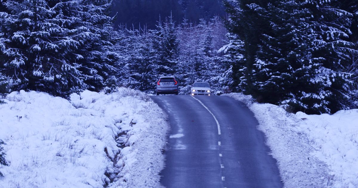
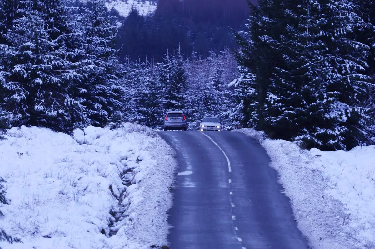 Scenes in Wicklow as Weather conditions are expected to cause major disruption over the coming days with heavy snow falls, dense freezing fog, sleet and black ice forecast… Pic Stephen Collins/Collins Photos
Ten counties around Ireland are facing Status Yellow weather warnings between Thursday evening and Friday, as the country braces for the cold blast to continue.
With the country hit by freezing temperatures a little over a week ago, freezing nights are forecast to continue with more snow on the horizon.
From midday to 8pm on Thursday, counties Cork, Kerry, Waterford and Wexford were under a yellow warning for snow and rain.
Met Eireann said: “Rain, heavy at times, will turn to sleet and snow in places on Thursday afternoon, particularly at elevation. Accumulations are possible.”
They noted that the warning is in place due to safety concerns and impacts like hazardous travelling conditions, spot flooding, poor visibility and icy patches.
On Friday, counties Antrim, Armagh, Down, Fermanagh, Tyrone and Derry have been given an ice weather warning by the UK Met Office.
It is noted that “clearing skies and scattered wintry showers” may bring icy patches and some disruption to areas.
While Ireland has largely escaped the worst of the first storm of the year, Met Eireann also warned that Ireland will not be unscathed.
As the cold conditions collide with the new storm system, Storm Goretti, parts of the country could see the rare phenomenon of ‘thundersnow’ in the coming days.
Following possible snow accumulations and heavy rain on Thursday, Friday’s forecast reads: “A bright, cool day Friday with spells of sunshine. Dry for most with isolated showers. However, scattered showers will affect Atlantic and northern counties.
“Some of the showers will be wintry or of hail with a chance of isolated thunderstorms. Highest temperatures of 3C to 7C, coldest in the northeast, in mostly light to moderate westerly winds, fresh to strong and gusty near southwestern coasts.”
Following the storm on Thursday evening, the UK Met Office has confirmed a rare chance of thundersnow on Friday, particularly in western and northern counties.
Thundersnow is a rare weather event, in which a heavy snowstorm produces thunder and lightning. It happens when a thunderstorm’s energy meets freezing temperatures, creating lightning and thunder within falling snow rather than rain.
The UK’s Met Office explained: “When thunderstorms form in wintry conditions they can sometimes give rise to heavy downpours of snow which are often called ‘thundersnow’. Thundersnow is unusual only because it can only occur in a few months of the year.
“When thundersnow occurs at night the lightning appears brighter – this is because the light reflects off the snowflakes. Interestingly, the snow contained within the thunderstorm acts to dampen the sound of the thunder. While the thunder from a typical thunderstorm might be heard many miles away, the thunder during a thundersnow event will only be heard if you are within two to three miles of the lightning.”
It is unlikely that southern counties will experience the phenomenon, however, people should still be aware of low temperatures causing disruption across the country, Dublin Live reports.
Cathal Nolan of Ireland’s Weather Channel posted an alert, saying: “As Storm Goretti clears away to the southeast tonight we’ll see skies clear with a risk of frost and ice developing as temperatures fall away to -2 or -3 degrees Celsius in some locations.”
“Before Goretti clears we’ll see some falls of sleet and snow across higher ground over 400 metres with a risk of some disruption across the Sally and Wicklow Gaps through the Wicklow Mountains.”
“Elsewhere showers will develop in the west and southwest, some of hail, a slight risk of thunder, and some will be wintry over higher ground as well. Dry conditions further inland.”