
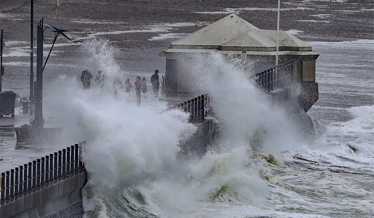
While the worst of Storm Goretti managed to miss most of Ireland (for once), a huge part of the country is still set to be battered by wind and rain this weekend.
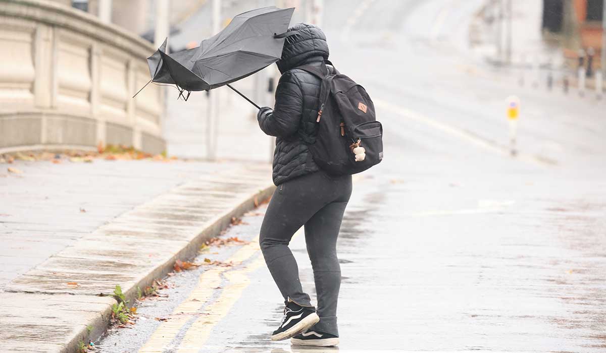
The storm wreaked havoc in the UK, with parts of the country being hit by a rare red warning as the extreme winds, rain and snow threw travel into chaos earlier this week.
While the storm has since passed, Met Éireann have since announced a yellow wind warning for the Atlantic coast part of the country on Sunday evening (January 11), which is set to bring wave overtopping and potential fallen branches.
 While the worst of Storm Goretti managed to miss most of Ireland (for once), a huge part of the country is still set to be battered by wind and rain this weekend. Pic: Sam Boal/Collins Photo
The weather warning will be in place for Clare, Kerry, Donegal, Galway, Leitrim, Mayo and Sligo, and will come into effect from 4pm until 10pm on Sunday evening (January 11).
Met Éireann have said that potential impacts of the weather warning include some wave overtopping, loose objects being displaced, some fallen trees and branches and difficult travel conditions.
Looking to the forecast for the weekend and the rest of the week, Met Éireann have said that Saturday will start cold in most areas, with frost, ice and fog/freezing fog in parts of the north midlands and east being slow to clear.
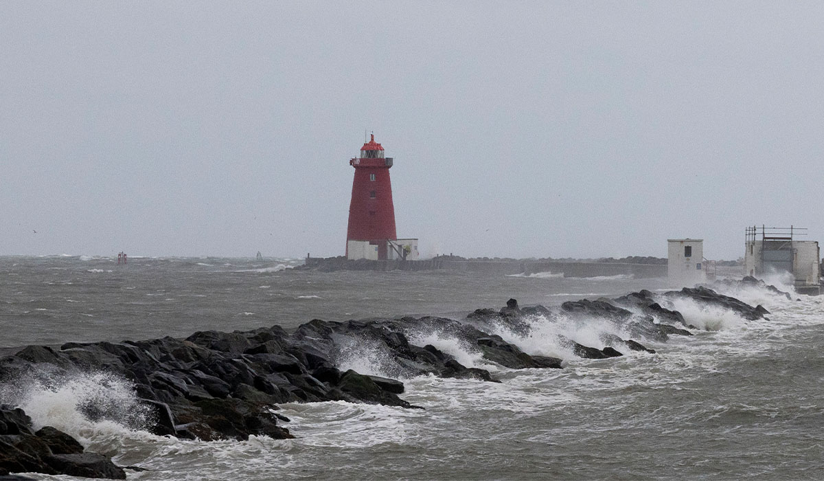
 The western half of the country will see high winds on Sunday afternoon. Pic: Collins
It will be dry with mostly sunny spells for most of the time on Saturday, but there will still be scattered showers in the morning, mainly in Ulster and parts of the west, and a few heavy and wintry in the north. Cloud will build from the west with scattered outbreaks of rain and drizzle, but it will stay dry in the east for daylight hours. Highest temperatures of 4C to 9C, coldest in the northeast.
It will be cloudy on Saturday night with outbreaks of rain and drizzle, alongside some hill and coastal mist and fog. It’ll become rather windy with southerly winds increasing fresh to strong, with lowest temperatures of 2C to 5C in the north, but between 6C and 9C elsewhere.
Sunday will be a cloudy day, with outbreaks of rain and drizzle at times alongside some hill and coastal mist and fog. Drier spells will develop in parts before more rain moves up from the south through the afternoon, becoming heavy at times. Things will start to clear from the southwest and west in the evening, but it will be much milder, with highest temperatures of 9C to 12C.
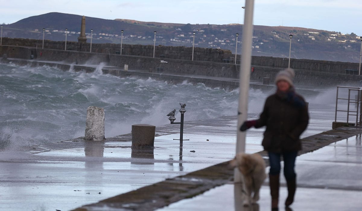
 Pic: Collins
It will continue windy into Sunday night, though the winds will tend to ease as the rain clears northeastwards early in the night. Clear spells and scattered showers will follow, with lowest temperatures of 6C to 9C.
Monday will bring a mix of sunshine and good dry spells along with some showers, too. Later in the day, it looks like a spell of rain will start to move up from the south, with highest temperatures of 8C to 11C. The rain will become fairly widespread on Monday night, turning heavy at times with hill and coastal mist and fog too. Lowest temperatures of 5C to 9C.
Met Éireann have warned that things will become changeable and unsettled for the rest of the week, with an Atlantic mobile regime being in place for the week ahead. Low pressure will dominate, bringing spells of shorter, drier periods and lighter winds. Mean air temperatures will have recovered, however, and will be around average for this time of year.