
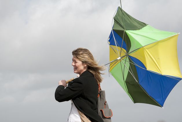
With conditions turning windier tomorrow afternoon, counties Clare, Cork, Kerry, Waterford, Donegal, Galway, Leitrim, Mayo, Sligo, Wexford and Wicklow will be under the warning from 4pm on Sunday until midnight on Monday.
Potential impacts during the warning will include some wave overtopping, loose objects being displaced, some fallen trees and branches, and difficult travelling conditions.
A Status Yellow fog warning for Dublin, Kildare, Louth, Meath and Wicklow expired at 10am this morning.
Today will be cold at first with frost, ice and fog all slow to clear in parts of the midlands and east of the country.
While it will be dry in most areas with some sun at times, there will be showers in Ulster and the west, some turning heavy and wintry further north.
Heading into the afternoon and evening, cloud will build up in the west, bringing outbreaks of rain and drizzle.
Highest temperatures today will be between 4 and 9C, coldest in the northeast and warmest in the southwest.
Tonight will be cloudy with rain and drizzle, and mist and fog in hilly and coastal areas. Lows will be around 2 to 5C in the north and east and first, but between 6 and 9C in other areas, and those slightly warmer conditions will spread across the country during the night.
Sunday will also be cloudy with a mix of rain and dry spells at first, before rain spreads from the south, turning heavy at times.
It will be much milder than the recent cold period, with highs of 9 to 12C.
It will continue to be windy into Sunday night, though winds will ease later on. There will be a mix of clear spells and scattered showers, with lows of 6 to 9C.
Looking ahead to next week, temperatures will continue to be much milder, but conditions are expected to be unsettled, bringing more wind and rain.