
The icy and snowy conditions might have gone away for now, but the national forecaster says that as the weather starts to slightly warm up, unsettled conditions will kick in
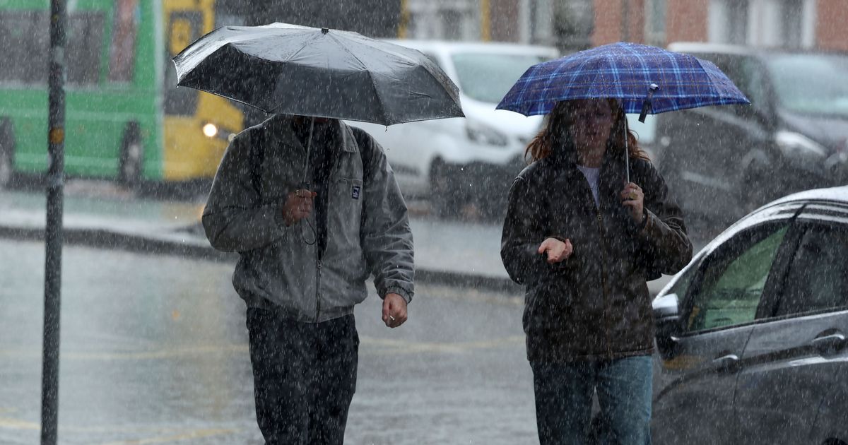
The weather is expected to be “rather unsettled” this week(Image: Collins)
It is finally safe to put the snow shoes back in the bottom of the wardrobe – for now – but you will want to have a raincoat on standby for the rest of this week’s forecast.
Met Éireann says that low pressure will dominate over the next few days, resulting in mixed, unsettled conditions across the country. Although it may remain dry for a while, expect some showers or prolonged periods of rain.
There could still be a risk of frost overnight, as temperatures drop below 0, so don’t put away the de-icer just yet.
Here is your forecast for the week:
Wednesday 14th January
Starting off mostly dry with some clear spells further east. However, it will become wet and breezy throughout the morning and afternoon, with rain, which may turn heavy and possibly thundery at times, spreading eastwards across the country. A clearance to scattered showers will follow from the west in the evening. Highest temperatures of 5 to 10 degrees, coolest in Ulster. Southerly winds will increase moderately to fresh, stronger near Atlantic coasts, with the arrival of the rain, before easing with the clearance.
Tonight: Any lingering rain in the north and east will clear, leaving a dry night for many with long clear spells, but with scattered showers feeding into Atlantic coastal counties. Some frost is possible with the lowest temperatures of 0 to 4 degrees and mostly moderate southwesterly winds.
Thursday 15th January
A dry day for many with plenty of sunshine. Scattered showers, some of which will be heavy with a chance of hail or thunder, will affect Atlantic coastal counties. Highest temperatures of 5 to 10 degrees, coolest in Ulster, with light to moderate southerly or variable winds.
Thursday night: A mix of dry clear spells and showers, some of which will merge into more persistent spells of rain. Some mist and fog patches will develop, too. Lowest temperatures of 0 to 3 degrees with a light southeasterly breeze.
Friday 16th January
While fog may linger in parts, it will be a dry day for many with some bright spells. Showers, some of which could be heavy and with a chance of hail and thunder, will mainly affect the southern and eastern parts. Highest temperatures of 4 to 9 degrees, coolest in the northwest and mildest in the southeast, with a light to moderate easterly breeze. Friday night: A dry night apart from coastal showers mainly affecting the southern and eastern coastal parts. Widespread fog will develop, with freezing fog possible too. Lowest temperatures of -1 to +4 degrees, highest in the east, with a light or variable easterly breeze.
Saturday 17th January
With fog lingering, it parts, it will be a generally cloudy day with limited bright spells. It will be dry for many with isolated showers or light rain and drizzle mainly affecting southern and eastern coastal areas. Highest temperatures of 5 to 9 degrees with a light easterly or variable breeze.
Sunday 18th January
Some mist and fog patches early on. It will be generally cloudy with limited bright spells. While there will be some patchy light rain and drizzle, there will be plenty of dry weather overall. Rain will push into the west later in the day. Highest temperatures of 6 to 9 degrees, with light to moderate southeasterly winds.