
It looks like we will be seeing an end to the milder weather that most of the country has been enjoying over the past week, as freezing temperatures are returning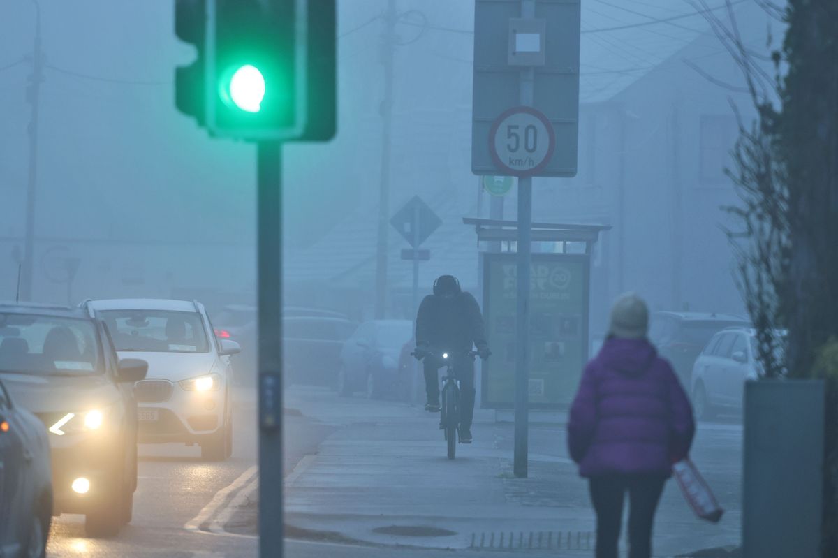
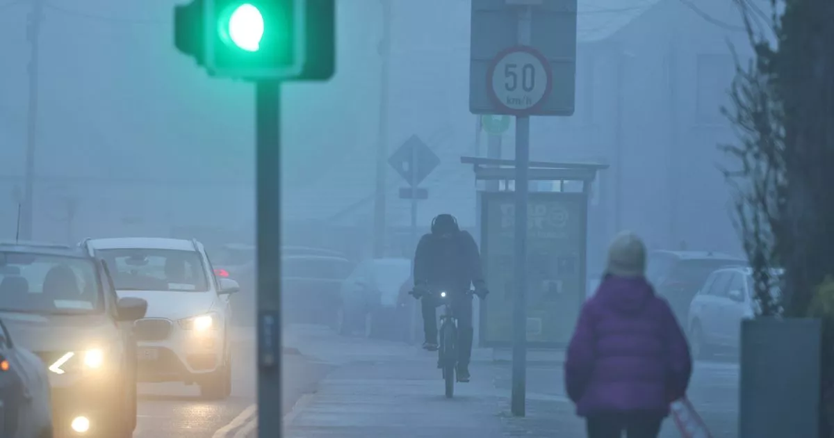
Fog in Dublin(Image: Collins Photo Agency)
This week, we have enjoyed weather a bit milder than we are normally used to in January, but unfortunately, that looks like it will come to an end soon.
Met Éireann’s latest forecast warns that temperatures will plummet below freezing over the coming days.
We’ll see cooler days and chilly nights with frost, ice and freezing fog. There will also be scattered showers and persistent widespread fog.
Here is your forecast for the coming week:
Saturday 17th January
A mix of cloud, sunny spells and showers today. The showers will be heaviest and most frequent in the east and north with the chance of hail and thunder. Elsewhere, the showers will be few and far between. Highest temperatures of 4 to 8 degrees in light southeasterly or variable breezes.
Largely dry tonight, though a few showers will occur, mainly in the east and southeast. Light southeasterly or variable breezes will allow dense fog to develop in places. Lowest temperatures of -1 to +4 degrees.
Sunday 18th January
Fog will gradually clear from most places tomorrow morning. Dry for many daylight hours with bright or sunny spells and just occasional showers. Towards the evening, outbreaks of rain will develop in the west and southwest. Highest temperatures of 5 to 9 degrees with light to moderate southerly winds, which will freshen in the west during the evening.
Sunday night: Turning cloudy as outbreaks of rain and drizzle gradually extend eastwards across the country. Lowest temperatures of 1 to 5 degrees in moderate, occasionally fresh south or southeast winds, easing later in the night.
Monday 19th January
Mostly cloudy at first with outbreaks of rain and drizzle, becoming largely confined to the north and east by early afternoon as drier and brighter conditions extend from the west. Highest temperatures of 5 to 9 degrees in mostly light variable breezes Monday night: Cloud along with outbreaks of rain and drizzle in the north will clear, becoming largely dry, clear and cold for a time, with fog developing in light southeasterly or variable breezes. Lowest temperatures of -2 to +3 degrees. Towards morning, outbreaks of rain will develop in the southwest with freshening winds.
Tuesday 20th January
Fog will clear through the morning as it becomes breezy, with outbreaks of rain, heavy at times, and fresh, gusty southeasterly winds gradually extending northeastwards across northern areas, though northern areas may stay dry until the evening. Highest temperatures of 6 to 9 degrees.
Wedneaday 21st January
Current indications suggest a breezy or windy day with outbreaks of rain, heavy at times. Highest temperatures of 7 to 10 degrees, with fresh to strong, gusty southeasterly winds.