
Met Eireann has highlighted a strange atmospheric phenomenon that developed overnight and is expected to persist across Ireland over the next four days
08:28, 18 Jan 2026Updated 08:30, 18 Jan 2026
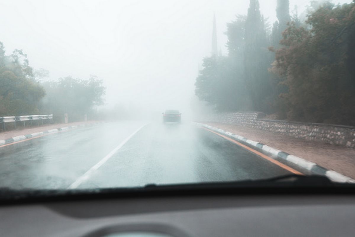
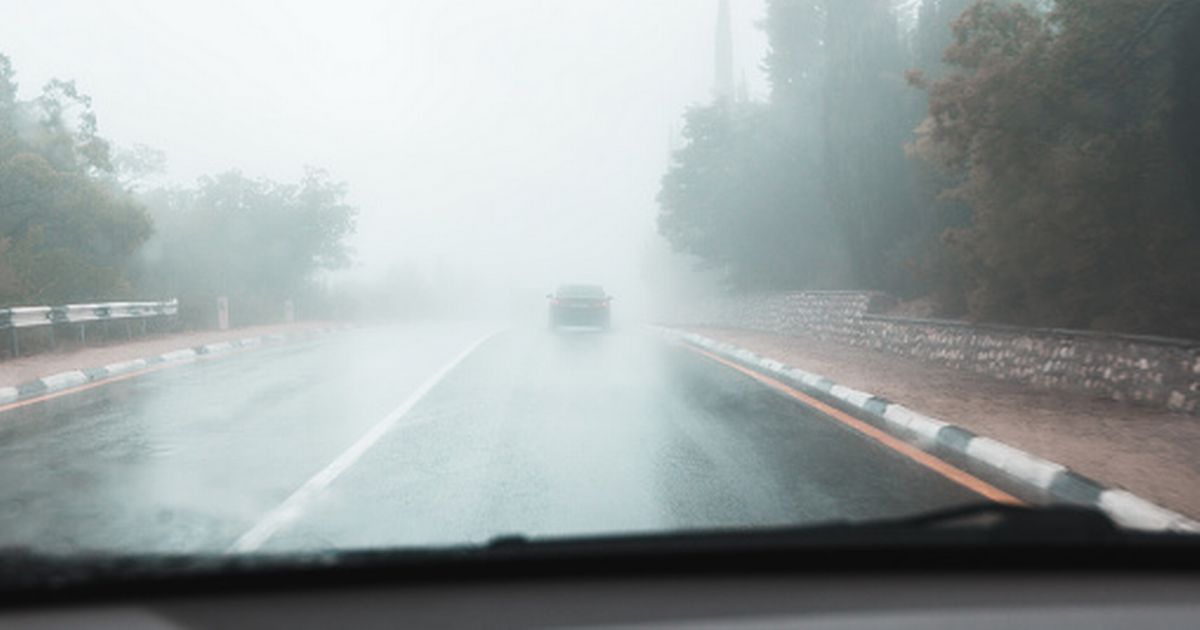
Met Éireann has warned that dense fog will lead to impaired visibility and hazardous travelling conditions.(Image: )
A Status Yellow fog warning is now in place for 17 counties across the country tonight, with Met Éireann warning motorists planning to hit the road on Sunday morning of “hazardous travelling conditions”.
The status yellow weather warning came into effect for Cork, Carlow, Kildare, Kilkenny, Laois, Longford, Meath, Offaly, Westmeath, Cavan, Clare, Limerick, Tipperary, Waterford, Galway, Leitrim, and Roscommon at 5.15am on Sunday morning and will remain in place until 10am.
The forecaster said areas of dense fog and freezing fog could affect visibility and create hazardous travelling conditions.
Dense fog developed overnight and is expected persist across Ireland over the next four days.
The current weather setup is creating the perfect conditions for dense fog, particularly overnight and into the early mornings. Ireland’s meteorological service has explained that light southeasterly or variable breezes, combined with calm and clear nights, will create a multi day fog event.
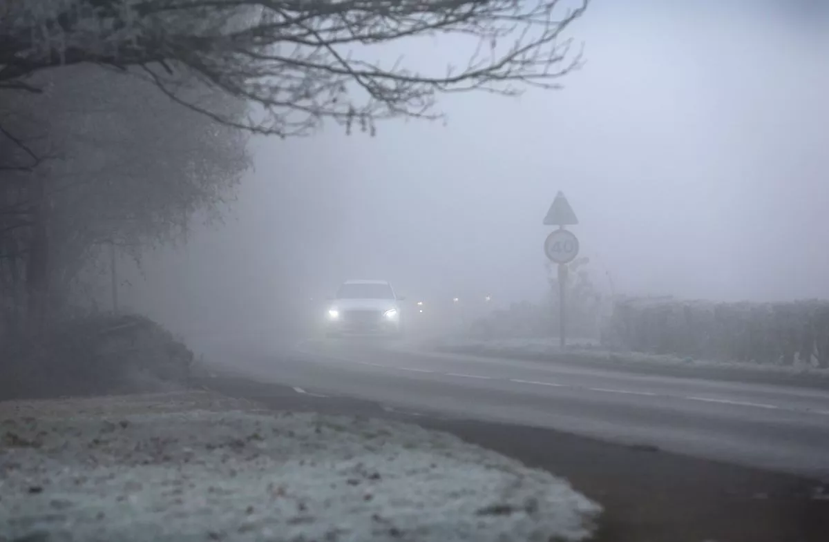
A car negotiates foggy conditions as the temperature stays at -3C during the day on December 11, 2022 in Outwell, England. (Image: Martin Pope/Getty Images)
While fog itself isn’t uncommon, the persistence of this pattern is rare, with Met Eireann warning that it is expected on Saturday, Sunday, Monday and Tuesday.
According to the latest forecast from Met Eireann, after an unseasonably mild and dry spell, the weather is set to take a turn over the coming days, with generally unsettled conditions forecast for the week ahead with rain and showers each day, breezy at times too.
Looking a thow the weather is shaping up on Sunday, the forecaster said there will be areas of mist and fog to start, gradually clearing from most places through the morning.
There will be dry conditions for many for daylight hours with bright or sunny spells and just occasional showers, mainly in the east. However, later this afternoon and evening, outbreaks of rain will develop in the west and southwest, with highest temperatures of 5C to 9C with light to moderate southerly winds freshening in the west during the evening.
It will be cloudy tonight with outbreaks of rain in the west gradually extending eastwards across the country. Lowest temperatures of 1C to 5C are forecast, coldest in the east early on, with moderate, occasionally fresh, south to southeast or cyclonic variable winds.
It will be a cloudy and wet start for most tomorrow, with widespread outbreaks of rain and drizzle. The rain will start to clear northwards through the afternoon with drier and brighter conditions extending from the southwest, with highest temperatures of 5C to 9C with moderate cyclonic variable winds, easing mostly light westerly breezes with the clearance of the rain.
Any lingering outbreaks of rain and drizzle in the north are expected to clear early on, leaving a clear, cold and dry night for many, with areas of fog developing in light southeasterly or variable breezes.
It will be a cold night with lowest temperatures of -2C to +2C with patches of frost and ice forming. Towards morning, outbreaks of rain will develop in the southwest with freshening winds.
Areas of fog will clear through Tuesday morning as it becomes breezy with outbreaks of rain, heavy at times, gradually extending northeastwards through the day, alongside fresh and gusty southeasterly winds, with highest temperatures of 6C to 9C.
It will be cloudy and breezy for most on Tuesday night with limited clear spells developing and scattered showers. Lowest temperatures of 3C to 6C are forecast, with moderate to fresh and gusty southeasterly winds.
Subscribe to our newsletter for the latest news from the Irish Mirror direct to your inbox: Sign up here.