

A weather forecaster demonstrated how the country will experience some very unsettled conditions this week with plenty of rain, and there is a chance of much colder conditions reaching Ireland by the end of the month
07:43, 19 Jan 2026Updated 07:48, 19 Jan 2026
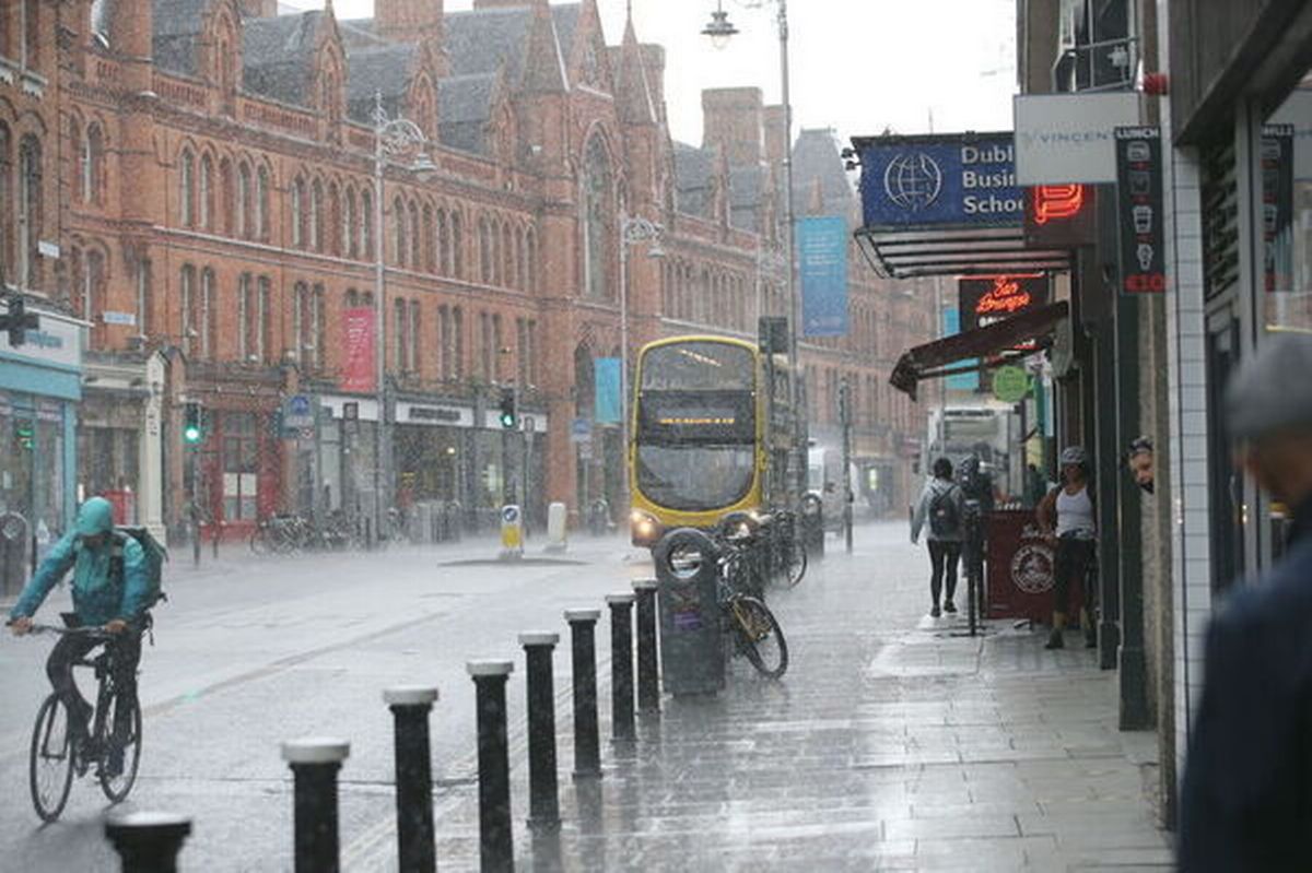
South Great George’s Street (stock image)(Image: Stephen Collins/Collins Photos)
The remainder of January is due to be cold and wet, with wintry conditions returning after a bout of milder weather.
This week, weather forecasters predict a wet and unsettled time with plenty of rain. There is a chance of localised flooding in some areas.
Alongside the wet weather, low temperatures may see the overnight development of frost and ice in places. As for the chances of a very cold phase moving in, that rick has increased “significantly,” according to weather forecaster Cathal Nolan of Ireland’s Weather Channel
He said that there is a chance we may see colder conditions move in towards the end of January and the beginning of February. Until then, rain will be a primary feature of the weather over the coming days.
“We are set to experience quite an unsettled week, rather wet conditions overall. It’ll be the south and the southeast of the country and indeed up into parts of East Ulster that see the heaviest of the rainfall, well above average levels and there is the likelihood of some localised spot flooding in places,” he said in the latest forecast update.
“Temperatures dropping away at the moment. It may drop sufficiently low in parts of the Midlands and parts of Ulster to see some ice developing on untreated surfaces initially tonight. So do be aware of that, but overall that cloud is going to push in from the west and we’re going to see more organised outbreaks of rain spreading from the West and South West overnight tonight and that will set us up for a pretty overcast murky day tomorrow.”
“You can see that occluded front situated across the country bringing a bit of more overcast conditions, risk of a little bit of rain in places and similarly so then by Wednesday we see more organised areas of low pressure pushing in from the West. That is going to lead to stronger winds at times from a southeasterly or easterly direction and it’s also going to be to some heavy accumulations of rainfall, especially so across parts of Munster and indeed into south and east Leinster, up into parts of Ulster as well. And really that sets us up for what is a very wet week.
He added that the highest areas of rainfall predicted are across the Mourne Mountains, the Wicklow Mountains and along the south and East Coast, with anything up to 80, maybe 90 millimeters.
As for an incoming cold spell, he sad: “As we go through the week we are going to gradually, very slowly see the temperatures start to drop back. It’s as we get into next weekend that we have a risk of more widespread colder conditions developing, perhaps even some wintry showers feeding into the east coast at that point. It could very well set us off for a more pronounced cold spell as we get into the last week of January and indeed the start of February.”
Alan O’Reilly of Carlow Weather said that the most recent weather models have retreated from showing a high likelihood of very cold conditions reaching Ireland.
“A wet start to the week for many with a milder morning and rain continuing in East for most of the day but improving in the West by afternoon” he said on Monday morning. “More heavy rain moving up from the South over the next few days with over 50mm possible by Wednesday afternoon.”
Latest overnight weather models have backed away from a cold Easterly reaching Ireland again. Often an Easterly can reach Britain but not Ireland so bear that in mind when you see articles and posts on cold for Britain too.”
Weather Alerts Ireland added: “The latest models are hinting at much colder weather from next weekend! Both the ECMWF and GFS are showing an easterly airflow” but reminded people that this is very much subject to change as we progress through the week.
Met Eireann said for the week of Monday, January 26 to Sunday, February 1: “A cool easterly airflow is likely to dominate bringing below average temperatures across the country. Rain and showers will likely lead to above average precipitation amounts for south and eastern counties, with more average accumulations further inland and below average amounts in the west and northwest.”
Join our Dublin Live breaking news service on WhatsApp. Click this link to receive your daily dose of Dublin Live content. We also treat our community members to special offers, promotions, and adverts from us and our partners. If you don’t like our community, you can check out any time you like. If you’re curious, you can read our Privacy Notice.
For all the latest news from Dublin and surrounding areas visit our homepage.