
Met Éireann has forecast snow on higher ground and wintry conditions across Ireland as an Arctic blast brings plummeting temperatures next week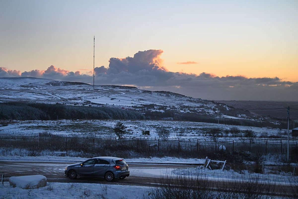
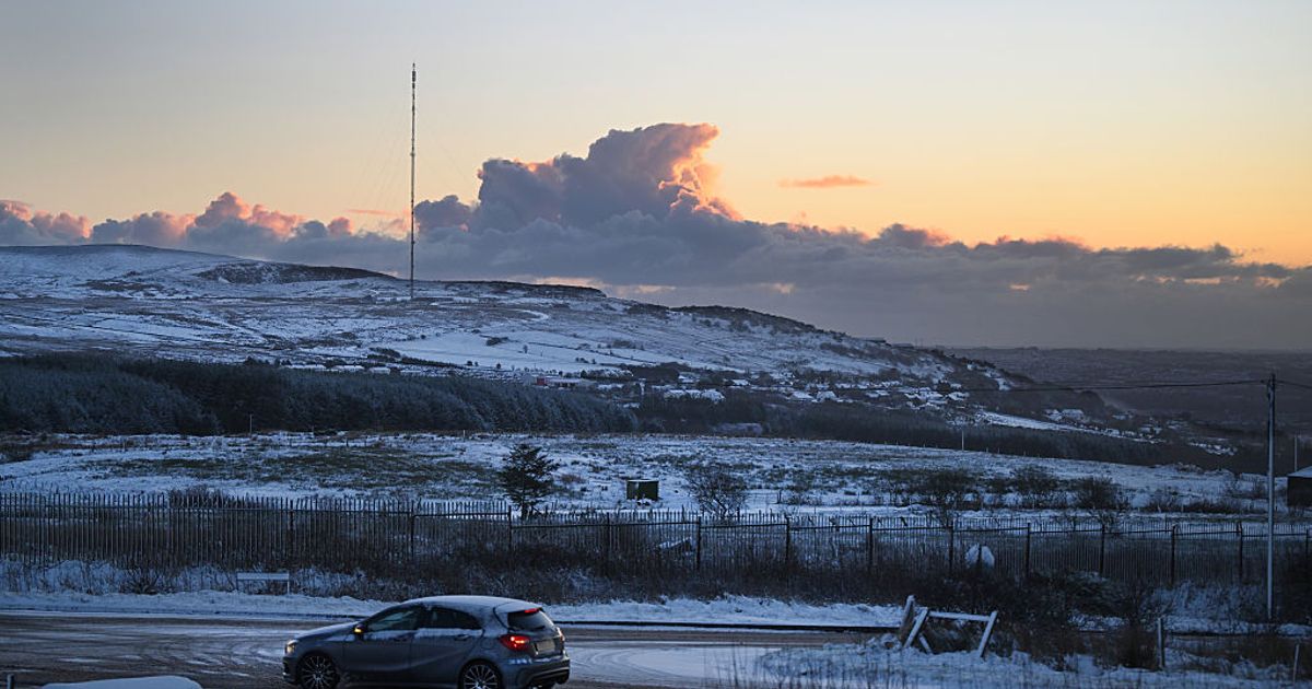
BELFAST, NORTHERN IRELAND – JANUARY 3: The sun rises over Divis mountain on January 3, 2026 in Belfast, United Kingdom. The Met Office is warning that snow showers will affect many parts of Northern Ireland over the weekend, bringing some disruption to travel. (Photo by Charles McQuillan/Getty Images)(Image: )
Irish weather is renowned for being changeable, and a big transformation could be approaching as weather charts suggest the potential for snowfall next week.
The impact of Storm Ingrid continues to be experienced in various areas of Ireland, battering the nation with powerful gusts and intense rainfall throughout the weekend.
Large portions of the country faced damp and blustery conditions on Saturday, caused by a low pressure system that has delivered notably turbulent weather. Based on Met Éireann’s most recent forecast, areas of low pressure will maintain unsettled weather conditions throughout next week.
Nevertheless, the national forecaster has cautioned that alongside the damp and blustery conditions, an Arctic blast is predicted for next week, bringing tumbling temperatures, icy surfaces and a possibility of wintry showers across multiple counties, reports the Irish Mirror.
Met Éireann has indicated it will be severely cold over the coming days with additional bands of intense rain, potentially becoming wintry at times.
The wintry conditions are anticipated to arrive on Tuesday, with Met Éireann disclosing that snow is most probable on elevated ground overnight or during early mornings, whilst frost and extensive ice are predicted for most regions. Weather models from WXCharts suggest the possibility of up to 20mm of wintry rainfall throughout sections of the nation, with several inches of snow anticipated to blanket Munster, including Cork, Tipperary and Limerick, alongside areas further north.
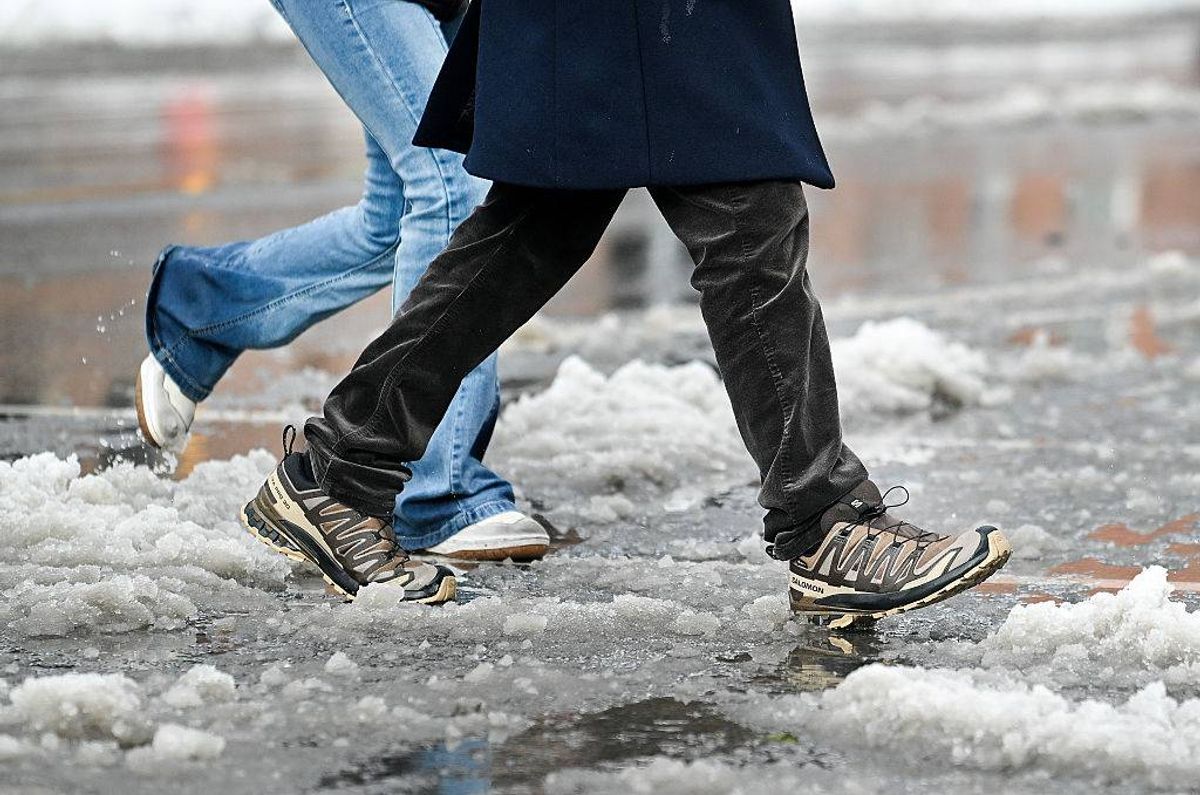
Walking in the ice and snow can be dangerous(Image: )
However, according to the most recent weather charts, snowy spells are succeeded by rain, making it doubtful to settle.
Met Éireann National Outlook:
Sunday: A grey beginning with mist and fog patches in the south, whilst outbreaks of rain and drizzle will persist across the northern half of the country.
Weather will typically stay cloudy and dry during the day, with only widely scattered showers. Peak temperatures of 5C to 9C, in light to moderate easterly or variable winds.
Sunday night: Rain and drizzle will carry on overnight with dry and clear weather across sections of the southwest where frost and icy patches may develop early in the night. Cloud will build towards morning as heavy rain moves in from the southwest.
Minimum temperatures of 0C to 5C degrees, coldest in the southwest. Light to moderate east to south-east or variable winds, stronger along west and north coasts.
Monday: Another grey and damp day with extensive rain. Rain will remain throughout the afternoon, and become heavy at times, before steadily clearing eastwards.
Breezy as well with fresh to strong south-east winds, and gusts along Atlantic coasts. Peak temperatures of 4C to 10C, coldest in the north.
Monday night: A stretch of steady rain, intense in places, will remain across east and northeast counties initially. Dry and clear weather elsewhere will spread more widely as that rain slowly moves away, leading to frost and ice developing.
Chilly and settled with minimum temperatures of -2C to +1C.
Tuesday: Chilly and fresh with frost and icy patches alongside some early sunshine in the west. Other areas will experience wet and blustery conditions moving in from the east during the morning and afternoon.
Rain will become intense at times and potentially wintry as well, with any snowfall most probable on elevated terrain. Peak daytime temperatures of 2C to 7C, though feeling particularly cold owing to the strong easterly or cyclonic variable winds.
Tuesday night: Scattered bursts of rain will persist through the night, with any snow largely restricted to elevated areas. Minimum temperatures of -1 to +3C in moderate northeast or variable winds.
Wednesday: Another chilly day ahead with further spells of rain and drizzle alongside possible patches of mist and fog. As the rain steadily moves northwards during the day, there will be chances for drier intervals to emerge across southern counties. Peak temperatures of 4C to 9C in light variable winds.
Join our Dublin Live breaking news service on WhatsApp. Click this link to receive your daily dose of Dublin Live content.
We also treat our community members to special offers, promotions, and adverts from us and our partners. If you don’t like our community, you can check out any time you like. If you’re curious, you can read our Privacy Notice .
For all the latest news from Dublin and surrounding areas visit our homepage.