
Drivers should take extra care on icy roads as a cold snap may bring a very frosty start to Friday morning as temperatures plummet on Thursday night
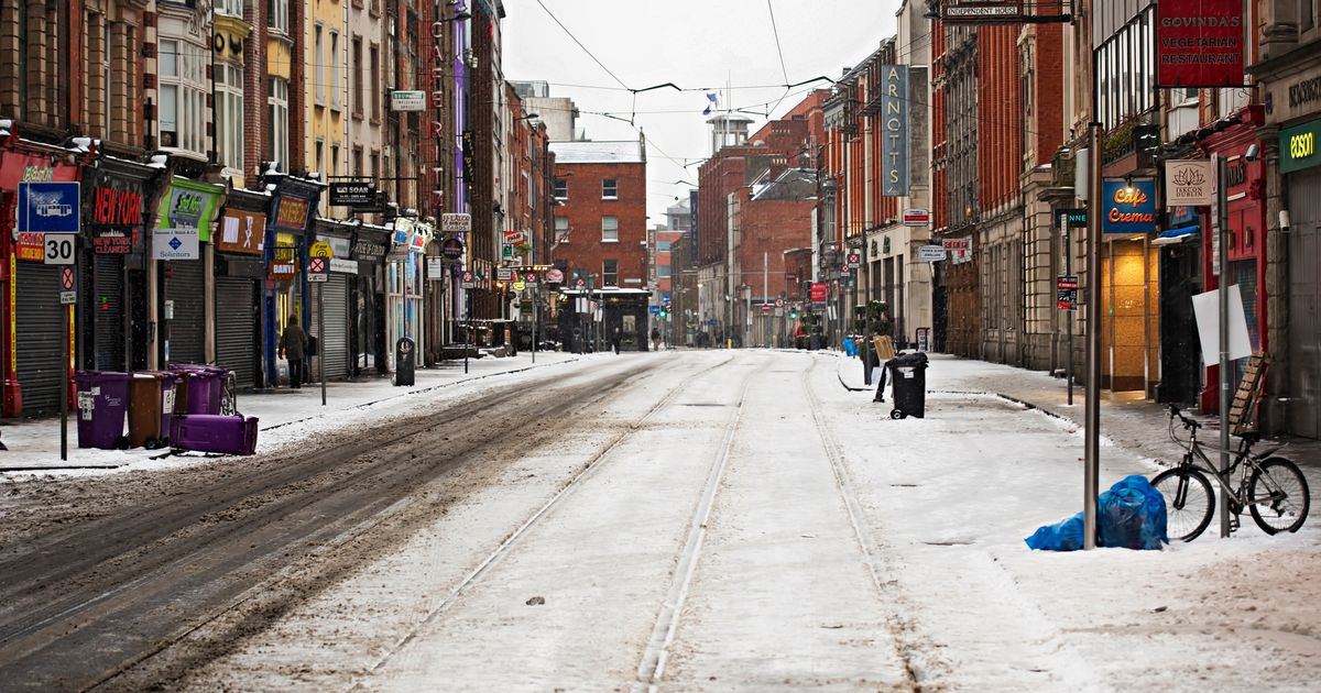
Dublin/Ireland – 03/01/2018 Empty Lower Abbey street during Beast from the East and Storm Emma.
“Very icy conditions” are on the way as a cold snap takes hold of the country on Thursday and Friday.
Met Eireann has predicted temperatures could reach as low as -3 degrees overnight on Thursday. The national forecaster said that Friday morning may bring wintry showers.
The national forecaster said that it is “turning brighter and colder towards the end of the working week.” Alan O’Reilly of Carlow Weather said that there is some “very icy conditions on the way.
In a new forecast update he said: “Risk of fog tonight and early tomorrow Wednesday before more rain and showers Thursday also before good sunny spells Friday but heads up for a very icy Friday night and Saturday morning.”
“Given how much lying water we have there is likely to be a lot of ice. More wind and rain pushing in from West Saturday afternoon.”
Further rain may be expected over the coming days too, which may compound the risk of ice.
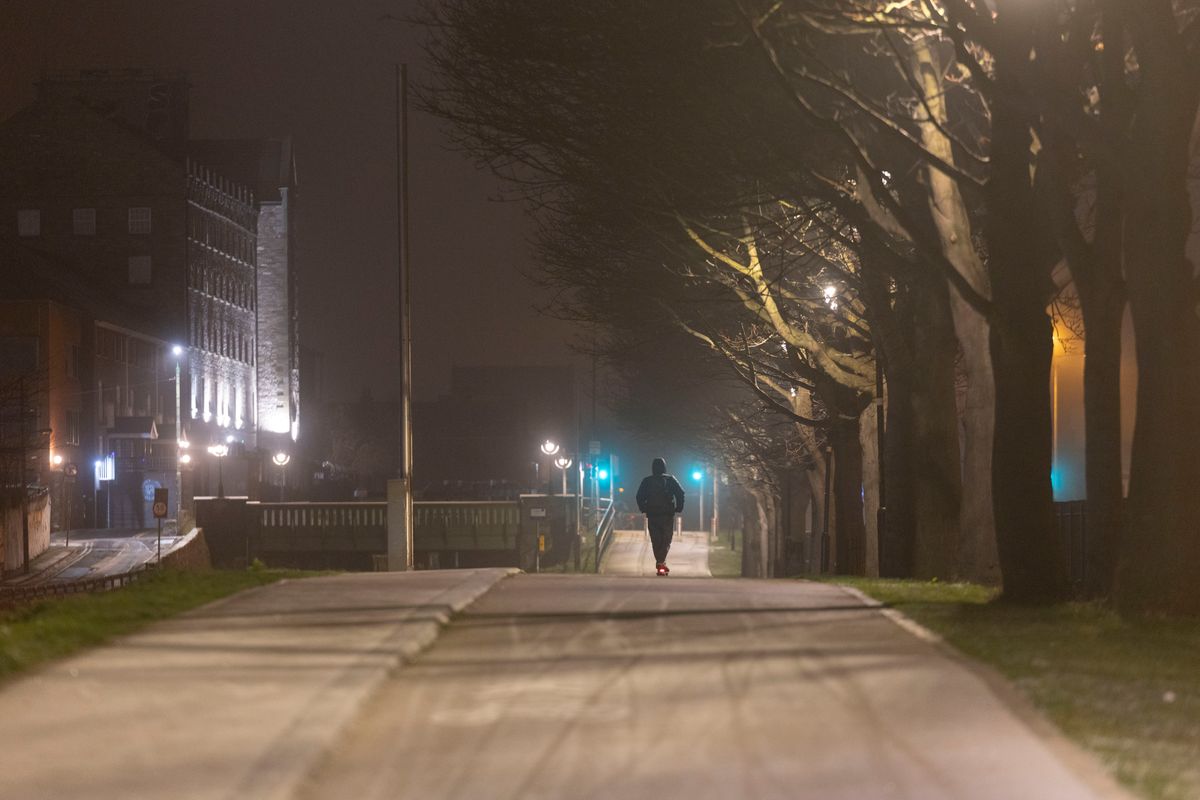
Frost covers footpaths along the Royal Canal(Image: Sam Boal/Collins)
Weather Alerts Ireland forecasted rain over the coming days. They said there may be up to 50mm over 24 hours falling in some parts.
“After what can be described as a dull day we can expect a pretty unsettled few days coming up with plenty of rain expected in the west in particular,” they wrote in a Facebook forecast update
“Over 60mm expected in parts of the west with as much as 50mm falling in 24 hours.”
Forecaster Cathal Nolan of Ireland’s Weather Channel said there is the possibility of snow being present on higher ground too.
“We will see further heavy rain spreading from the north as we go through Thursday, some of that wintry over higher ground. Potentially snow above about 300 metres, so that’s something to keep an eye out on, especially in parts of Ulster, parts of Leinster.”
“And then as we go through the second half of the week, so from Thursday night into Friday onwards, at that point we will see more in the way of drier conditions but cooler weather, with the wind switching around to an orderly direction allowing for frost and ice to become more of an issue.”
Join our Dublin Live breaking news service on WhatsApp. Click this link to receive your daily dose of Dublin Live content.
We also treat our community members to special offers, promotions, and adverts from us and our partners. If you don’t like our community, you can check out any time you like. If you’re curious, you can read our Privacy Notice.
For all the latest news from Dublin and surrounding areas visit our homepage.