
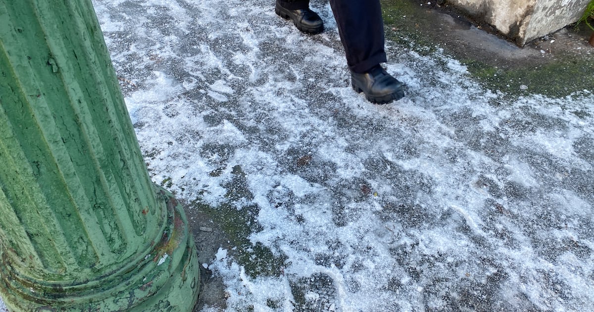
Ireland will be cold and mainly dry this weekend, with a status yellow ice warning coming into effect and the possibility of a little snow over higher ground.
Met Éireann has issued a status yellow low temperature and ice warning for the whole country from 9pm on Friday to 10am on Saturday.
Friday morning see some frost and ice, especially in the west and the north of Ireland. Rain in Munster and south Leinster will clear through the morning, with mostly dry and sunny conditions following.
There will be a few isolated showers in the north and west, with highest temperatures of 3 to 7 degrees. It will then become very cold on Friday night.
While conditions will be mostly clear, some higher cloud will start to build from the Atlantic overnight. Lowest temperatures, as the weather warning sets in, are expected to be between minus 4 and 1 degrees.
On Saturday, it will be another frosty start. Spells of sunshine will follow, the best of them in the east. It will grow increasingly cloudy from the west through the day, as rain spreads northeast through the afternoon and evening, turning heavy in parts.
Cold with some frost and ice in places tomorrow morning, especially in the W and N❄️
Cloud and rain in parts of Munster and south Leinster will clear through the morning with mostly dry and sunny conditions following
There’ll just be a few isolated showers in the N and W🌧️ pic.twitter.com/KKrdJxpadB
— Met Éireann (@MetEireann) February 12, 2026
There is a chance of some sleet, especially over higher ground, but it should stay mainly dry for much of the day in east Leinster and most of Ulster. Highest temperatures are again expected to be between 3 and 7 degrees.
Saturday night will be wet and windy for a time, with spells of heavy rain. There will be more sleet and possibly a little snow for a time over higher ground in the north and east. Lowest temperatures overnight will be between 1 and 5 degrees.
Sunday will be bright with sunshine and scattered showers, most of which will be widespread in the west and north. Some of the showers will be heavy, with a chance of hail and maybe the odd isolated thunderstorm near the coast. Highest temperatures will be 7 to 11 degrees.
Sunday night will be breezy, especially further to the west and northwest. There will be a mix of clear spells and scattered showers, some heavy, including hail and possibly sleet over higher ground.
More persistent rain is possible in parts of the north and northwest, with a greater chance of thunderstorms there too. Lowest temperatures will be 2 to 6 degrees, with increasing west to southwest winds.