
Ireland is set to face more wintry weather next week, with Met Eireann issuing urgent snow alerts as frost, icy patches, sleet and rain sweep across the country.
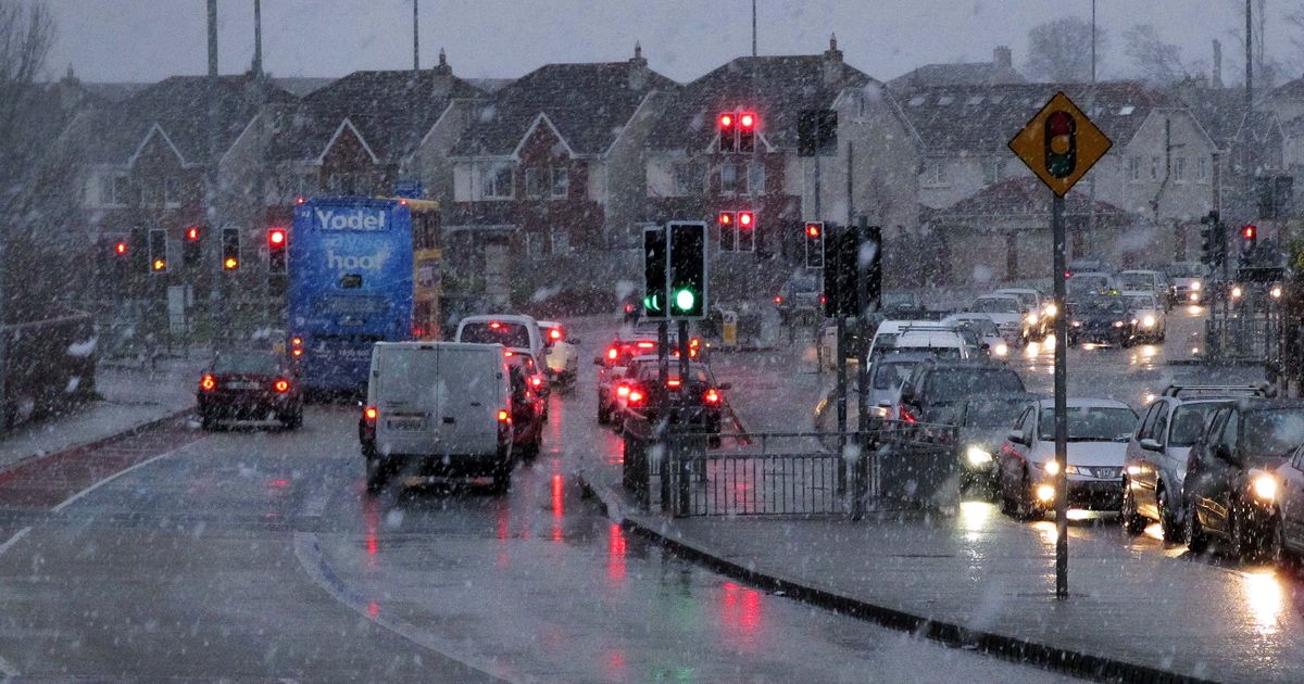
File photo of sleet in Lucan, Dublin(Image: Colin Keegan, Collins)
Ireland is bracing for more winter chaos as a fresh weather front looks set to sweep across the country in the coming days. After a weekend of snow and bitterly cold temperatures, the chill is far from over, with Met Eireann issuing urgent new snow alerts for early next week.
While some relief is expected tomorrow, with temperatures rising slightly, the national forecaster has warned that the respite will be short lived.
Weather models snow a fresh system moving in from Tuesday night into Wednesday, bringing the risk of frost, icy patches and wintry showers.
Met Eireann has also confirmed that flurries and sleet are likely in some parts of the country, particularly on high ground.
It says Monday will be a blustery day, with a mix of sunshine and scattered showers, and daytime temperatures hovering between 6C and 10C. However, as night falls, the weather will turn a lot colder.
The national forecaster said: “Mostly dry and clear Monday night. Isolated showers will feed in from the north, possibly turning wintry at times on high ground. Cloud will thicken overnight with rain moving into the southwest. Cold with frost and some icy patches. Lowest temperatures of -3C to 1C in generally light winds.”
Tuesday is expected to begin with frost and ice clearing to a dry but overcast day, with temperatures struggling to reach 4C to 7C. Overnight, temperatures will again plunge to freezing with more wintry showers.
Met Eireann said: “Overcast Tuesday night and turning wet in the southwest with bands of rain moving in, again possibly turning wintry with falls of sleet on high ground. Staying dry elsewhere but the rain will spread through Connacht, Munster and south Leinster overnight. Lowest temperatures of 0C to 4C, possibly dropping lower locally.”
Looking ahead to Wednesday, weather models signal a low pressure system sweeping the country, potentially bringing snow to some areas.
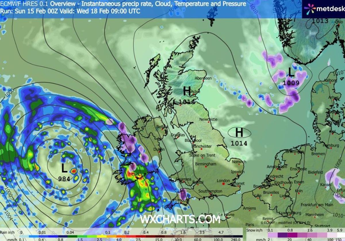
Weather models signal a low pressure system moving north east on Wednesday, bringing snow to some areas(Image: WXCharts)
Met Eireann said: “Another unsettled day Wednesday with overcast skies and rain spreading in from the west early in the morning and becoming widespread by evening. Moderate to fresh southwesterly winds with highest temperatures of 4C to 9C.”
Looking further ahead, the national forecaster warned that unsettled conditions are likely to continue later in the week. It added: “Current indications would suggest it will remain unsettled through Thursday and into Friday with spells of rain or showers at times. Temperatures of average on Thursday but will fall below for Friday.”
Want to see more of the stories you love from the Irish Mirror? Making us your preferred source on Google means you’ll get more of our exclusives, top stories and must-read content straight away. To add Irish Mirror as a preferred source, simply click here