

Met Éireann have issued a Status Yellow thunderstorm warning for Clare, Galway, Mayo and Sligo which has come into effect immediately and will remain in place until 11am on Friday morning.
Thundery downpours, spot flooding, lightning damage and difficult travelling conditions can all be expected, according to the forecasters.
And, despite the rain forecast for the weekend, temperatures will stay mild and warmer than average.
Met Éireann meteorologist Ailis Hankinson said there will not be much respite from rain in the coming days.
“Our weather is set to stay unsettled for the next little while with more rain, showers and blustery conditions to come,” she said.
“Though it will turn milder as we head into the weekend with warmer than average temperatures for this time of year.
“As we head into next week then staying mild and quite breezy with further outbreaks of rain on both Monday and Tuesday,” she added.
Forecast
Rain will clear eastwards early on Friday morning, followed by a mixture of sunny spells and scattered showers.
These showers will be blustery and might turn heavier and more persistent for a time in the late morning and early afternoon.
Meanwhile, it will become cloudier from the southwest in the afternoon with outbreaks of rain and drizzle in Munster and Connacht later.
Temperatures will range between 9 and 12C, accompanied by fresh and sometimes strong winds.
A mild Friday night will bring outbreaks of rain and drizzle in Munster and Connacht moving northeastwards early on.
But it will become drier behind the rain, and will stay cloudy with patches of mist and drizzle and temperatures dropping to 6 and 10C.
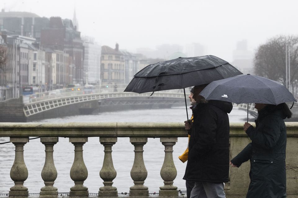
There has been little respite from the rain in recent weeks. Photo: Collins
Today’s News in 90 Seconds, Friday, February 20
The weekend will start off with a mild, breezy and rather wet Saturday as further rain moves northeastwards across the country.
It will turn heavy at times, especially in the west and north, with temperatures between 10 and 13C.
On Saturday night, rain will clear southeastwards early on, but will linger in the south and east, while the north and west stay clear and might see isolated showers.
The night will remain mild, with lowest temperatures between 6 and 9C.
Bright and blustery Sunday will bring scattered showers turning heavier and more persistent for a time through the afternoon.
Temperatures will be between 9 and 12C, with occasional strong winds, before dropping to 5 and 8C on Sunday night.
The night will continue blustery with a mix of clear spells and scattered showers, becoming more frequent in the west and southwest.
However, there are no good news for next week as it looks to continue unsettled with further spells of wet and blustery weather.