
Fears that Ireland could be set to face another storm are continuing to grow after new weather charts revealed a worrying development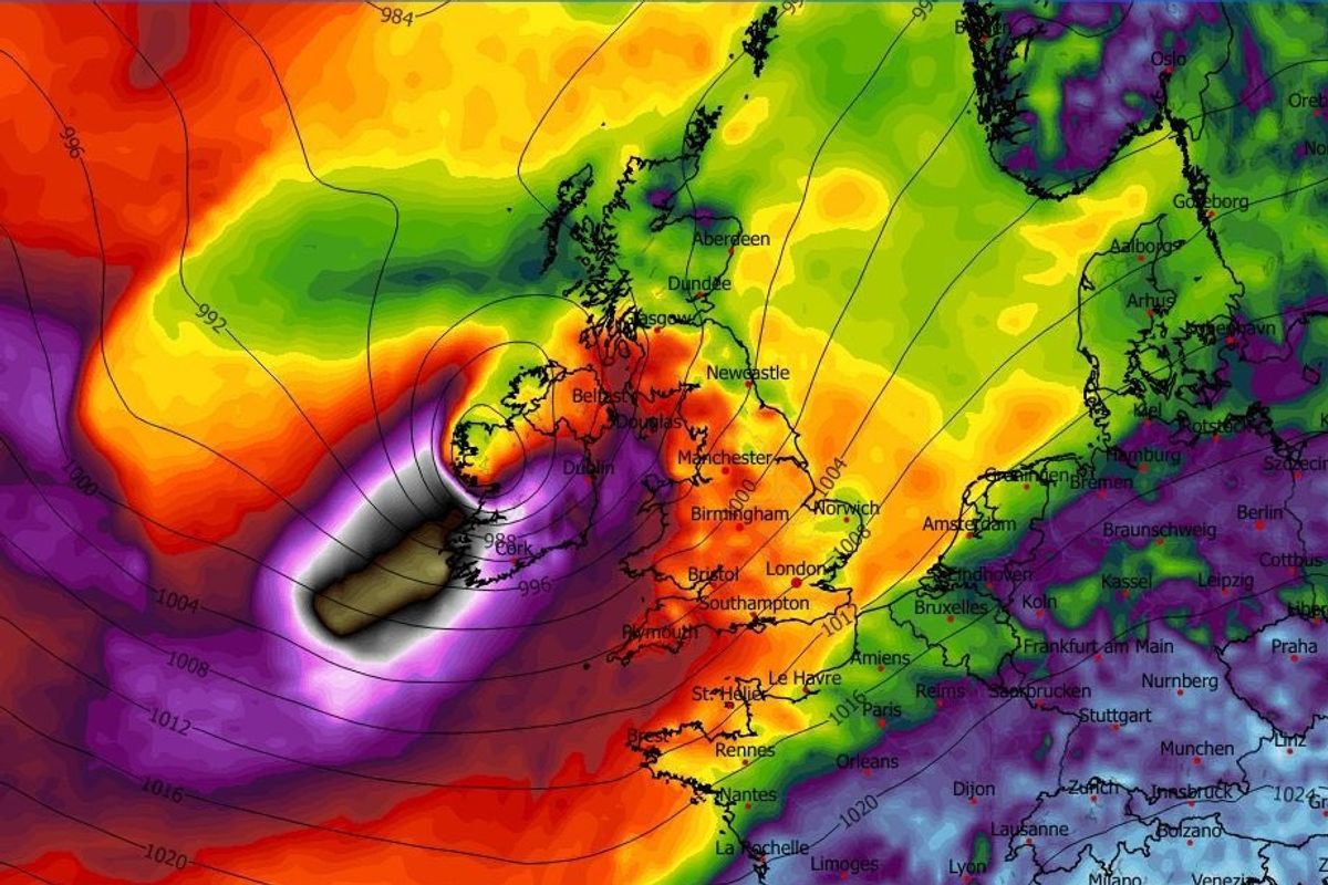
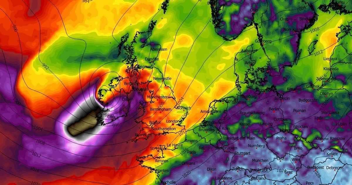
The ECMWF weather models currently show a powerful storm hitting Ireland next week
The miserable weather which Ireland has endured since the start of the new year looks set to continue, with a leading meteorologist warning that a storm is forecast to hit the country later this week.
Ireland has endured wet and windy conditions for almost the entirety of of 2026 so far, with the country facing a nearly endless cycle of torrential downpours and blustery weather.
Last month, Ireland faced Storm Chandra which caused widespread disruption across many parts of country, with strong winds and heavy rain leading to flooding and power outages.
Now Ireland could be set to face another storm next week, with a leading meteorologist warning that current models show that a serious weather event is forecast to batter the country on Thursday.
Alan O’Reilly, who mans the popular Carlow Weather channel on social media, warned that should certain weather models turnout to be accurate, powerful gale force winds are set to batter the country over the coming days.
The latest ECMWF weather model shows a risk of a storm hitting Ireland on Thursday night
In a message shared with his followers on X/Twitter on Sunday, O’Reilly wrote: “The ECMWF model latest update once again shows risk of a storm Thursday night but other models don’t develop the low. “Interesting one to follow.”
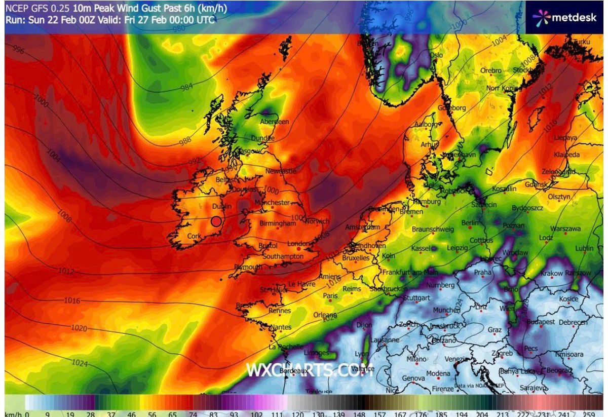
However, there is uncertainty surrounding what will actually happen, with Met Eireann saying that “confidence in the forecast is low at present” with widespread rain forecast for Thursday.
You can check out Met Eireann’s forecast for the coming days below.
Met Eireann National Outlook
Overview: Mild but generally mixed and unsettled this week. Cooler by Friday and into next weekend.
Sunday (February 22): Breezy with sunny spells and scattered showers today, Sunday. Heavier and more frequent showers will spread from the west and north this afternoon, with the chance of hail and isolated thunderstorms, mainly in the Connacht and Ulster. Highest temperatures of 9C to 12C, with moderate to fresh, occasionally strong, and gusty southwesterly winds.
Sunday night: Clear spells and scattered showers will continue early tonight, gradually becoming lighter and more isolated overnight. Cloud amounts will increase, with outbreaks of rain and drizzle pushing into the southwest towards morning. Breezy with moderate to fresh southwesterly winds, strong at times near western and northwestern coasts, easing from the southwest towards dawn. Lowest temperatures of 5C to 9C.
Monday (February 23): Mostly cloudy tomorrow, Monday, with outbreaks of rain and drizzle spreading from the west and southwest through the morning and afternoon, with some heavier bursts possible. Highest temperatures of 10C to 13C. Light to moderate south to southwest winds will be fresh to strong at times near coasts.
Monday night: Remaining cloudy on Monday night with patchy drizzle and mist. Lowest temperatures of 7C to 10C degrees in mainly moderate to fresh southerly winds, strong along Atlantic coasts.
Tuesday (February 24): Continuing mostly cloudy on Tuesday with outbreaks of rain and drizzle. The rain and drizzle will be heaviest and most persistent in Atlantic and southern coastal counties with a fair amount of dry weather across parts of the midlands, east and north. Highest temperatures of 10 to 13 degrees, in moderate to fresh southerly winds, strong at times near coasts. Outbreaks of rain and drizzle will spread to most parts on Tuesday night, with some heavy bursts in places. A few clearer breaks and showers will extend from the west towards morning. Lowest temperatures of 9C to 11C degrees with southerly winds easing light to moderate.
Wednesday (February 25): Sunny spells and widespread showers, with some heavy thundery downpours and hail possible. Highest temperatures of 11 to 14 degrees, with light to moderate south to southwest winds. Showers will gradually die out on Wednesday night with some drier and clearer breaks for a time. Cloud will increase overnight with patches of drizzle and mist developing. Lowest temperatures of 6C to 10C with light to moderate southwest winds freshening towards morning.
Want to see more of the stories you love from the Irish Mirror? Making us your preferred source on Google means you’ll get more of our exclusives, top stories and must-read content straight away. To add Irish Mirror as a preferred source, simply click here.