
Met Eireann says Ireland could be hit by strong winds and torrential rain later this week, as a developing system raises the prospect of Storm Dave.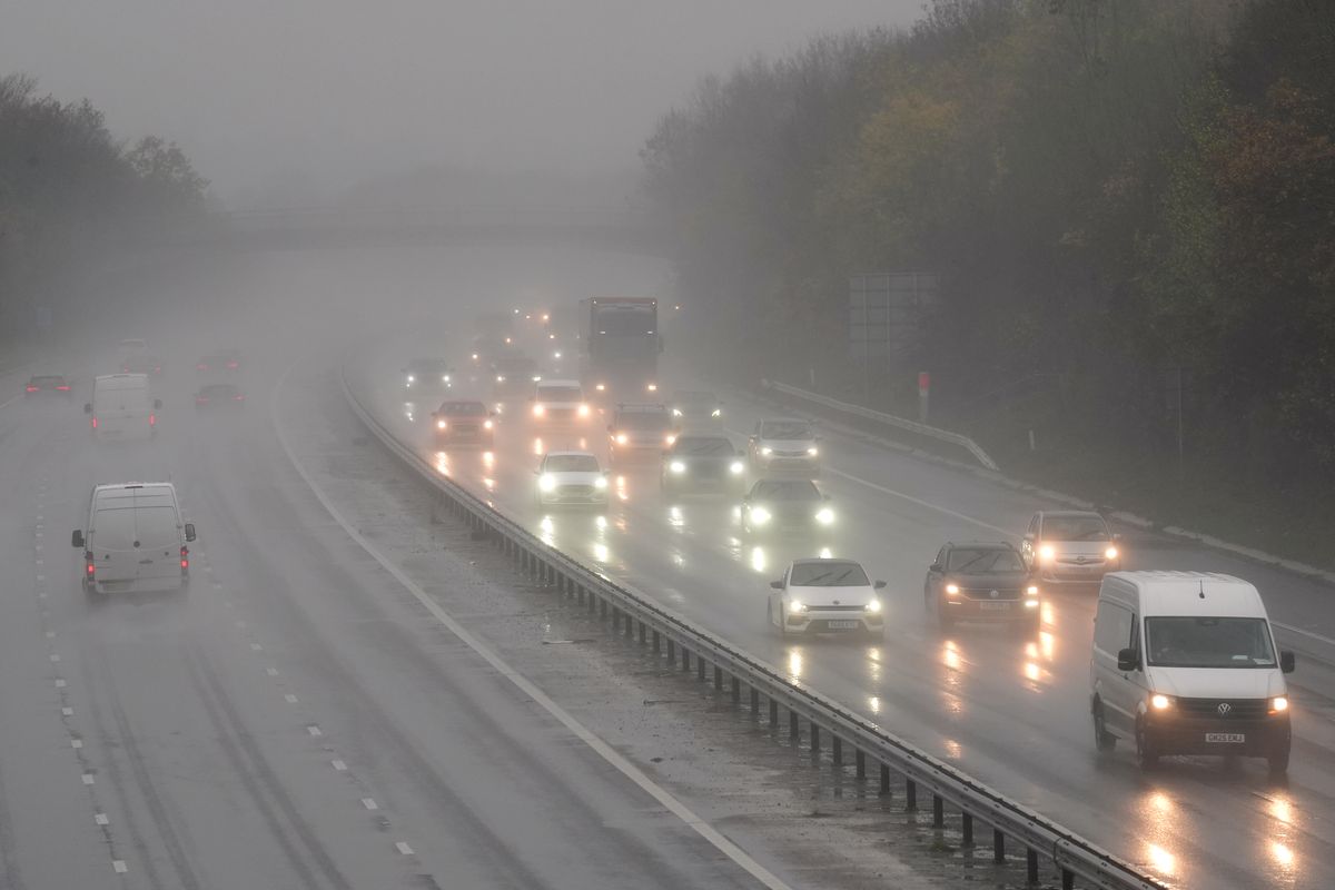
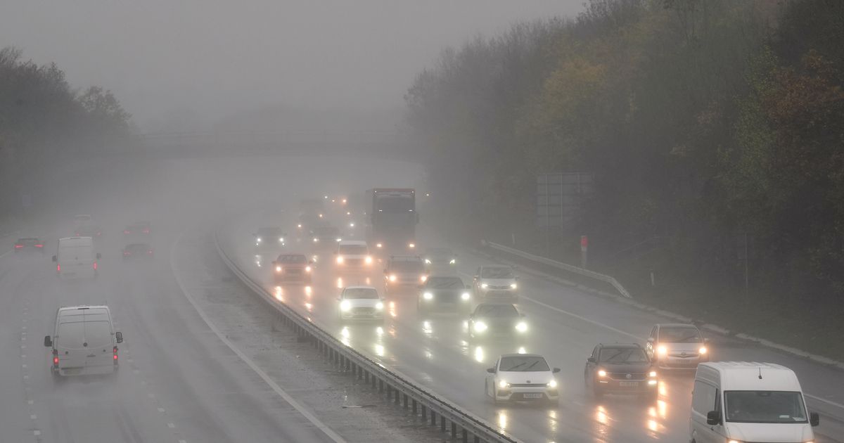
Motorists travel through rain and spray on a motorway (file photo)(Image: Joe Giddens/PA Wire)
Ireland could be on course for its next named storm as forecasters closely monitor a developing low pressure system that may bring strong winds, torrential rain and thunderstorms later this week.
While exact details remain uncertain at this stage, Met Eireann has warned that its models have taken an ominous turn: “The trend is for low pressure to be more dominant over Ireland. This indicates unsettled conditions with low pressure systems bringing occasional spells of wet and windy weather over Ireland.”
Thursday into Friday has been pinpointed as the likely days this system could impact Ireland. Weather models, which are subject to change, show it could bring winds of up to 100km/h and torrential rain across much of the country.
The national forecaster said: “On Thursday morning, showery rain will spread eastwards across the country. Through the afternoon and evening, heavier rain will spread north-eastwards across the country with strong winds possible also. Rain will continue for much of Thursday night. Highest temperatures of 10C to 13C.
“On Friday, rain will clear eastwards with sunshine and showers following from the west, some possibly of hail. It will become colder with afternoon temperatures of 5C to 9C and fresh, gusty west to northwest winds.”
Weather enthusiast Alan O’Reilly from Carlow Weather said the system will be “interesting” to follow. Sharing models updates that show a low pressure system developing close to Ireland, he said: “The ECMWF model latest update once again shows risk of a storm Thursday night but other models don’t develop the low. Interesting one to follow.”
In an update, he cautioned: “Still a lot of uncertainty around Thursday into Friday with the ECMWF still developing a low system hitting Ireland with wind and rain but other models have it south and or not developed as much.”
Content cannot be displayed without consent
If the system intensifies as some forecasts suggest, it could be officially named Storm Dave, becoming Ireland’s fourth named storm of the season.
Storms are named when orange or red warnings are issued for medium to high impact weather, such as strong winds, heavy rain or snow. So far this season, Ireland has experienced Storm Amy, Storm Bram and Storm Chandra.
In the meantime, tomorrow will begin with some drizzle before “more persistent rain” develops in the west and southwest during the afternoon and spreads further inland throughout the evening. However it will remain mild, with temperatures of 10C to 13C.
Tomorrow night will be cloudy with rain in most areas, turning heavy at times. The rain will gradually clear eastwards on Wednesday morning, but showers will follow and they could turn heavy with thunder and hail possible. Temperatures will be warmer again, potentially reaching an unseasonable 14C in parts.
Want to see more of the stories you love from the Irish Mirror? Making us your preferred source on Google means you’ll get more of our exclusives, top stories and must-read content straight away. To add Irish Mirror as a preferred source, simply click here