
Met Éireann is expected to confirm new rainfall records for February as the unrelenting downpours have caused flooding and left land saturated.
Farmers, wildlife experts and environmental services firms have warned of major problems unless drier weather arrives soon and land, as well as river systems, get the chance to recover.
Thousands of acres of farmland remain under floodwater across Munster, Leinster and south Ulster because of rivers breaking their banks following the downpours.
Conditions were so wet that Valentia Observatory in Co Kerry recorded 55 days of rain between January 1 and February 24 for a total of 318.1mm.
Met Éireann said rain was recorded at various locations across Ireland every day so far this year.
Johnstown Castle in Wexford has already set a new tri-monthly rainfall record.
In the three months between November 1 and January 31, a total of 652.5mm of rain was recorded there, the highest recorded at the weather station for 85 years.
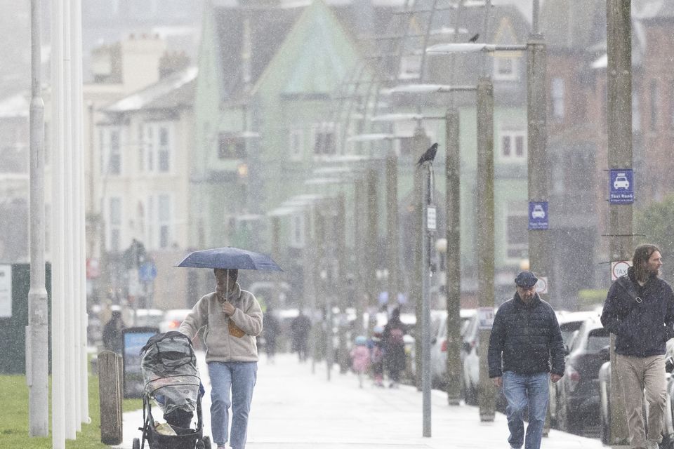
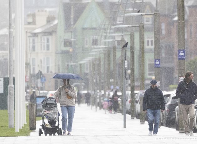
Pedestrians brave heavy rain in Bray, Co Wicklow. Photo: Collins
Today’s News in 90 – Friday February 27
Met Éireann indicated that as spring starts, the country faces more than three weeks more of unsettled weather with further bouts of rain, some of it heavy.
The extended-range forecast indicated that, from March 2 to 22, Ireland will have unsettled weather with dry spells interspersed with bands of rainfall.
For most of those three weeks, Ireland will be trapped between Atlantic low-pressure fronts and a high-pressure zone over Europe, delivering warmer than normal temperatures, but with rainfall levels higher than seasonal averages.
It will be dry and frosty on Friday night with long, clear spells leading to widespread frost and icy patches
From March 23, the weather will take a significant turn for the better with a high-pressure zone expected to dominate, bringing a period of more settled, drier weather.
Met Éireann’s Holly O’Neill said the weekend will bring a mix of cold, frosty mornings and spells of rain, some heavy.
“Friday will see rain and drizzle in the south-east gradually clearing over the morning,” she said. “There will be drier weather with bright spells and scattered showers extending across the country from the north-west, with highest temperatures of 8C to 11C.
“It will be dry and frosty on Friday night with long, clear spells leading to widespread frost and icy patches forming and lowest temperatures of -3C to 1C.
“Saturday will be a bright and crispy morning for most with frost patches. It will be cloudier further west, with outbreaks of rain and drizzle spreading eastwards through the day and becoming more isolated as it clears. Scattered showers will follow, with highest temperatures of 6C to 10C.
“Saturday night will see clouds increase from the south-west with rain and drizzle becoming widespread, though it will be mild, with lowest temperatures of 3C to 6C.
“Sunday will see a wet and blustery start to meteorological spring with outbreaks of rain, turning heavy at times.”
Forecast
Next week will begin with a welcome respite from the omnipresent rainfall as Monday is forecast to brings widespread dry a and sunny conditions in most areas. It is set to become cloudy from the northwest with the arrival of southeastwards showers and temperatures of 8C to 11C.
Monday night will have further clear spells resulting in frosty conditions, leaving temperatures possibly as low as -1C.
Tuesday will be a dry and sunny day reaching highs of 9C and 11C.