

One forecaster said that there is a chance we may see some stormy developments due to an “invigorated jet stream” coming out of North America but it is tough to call this early on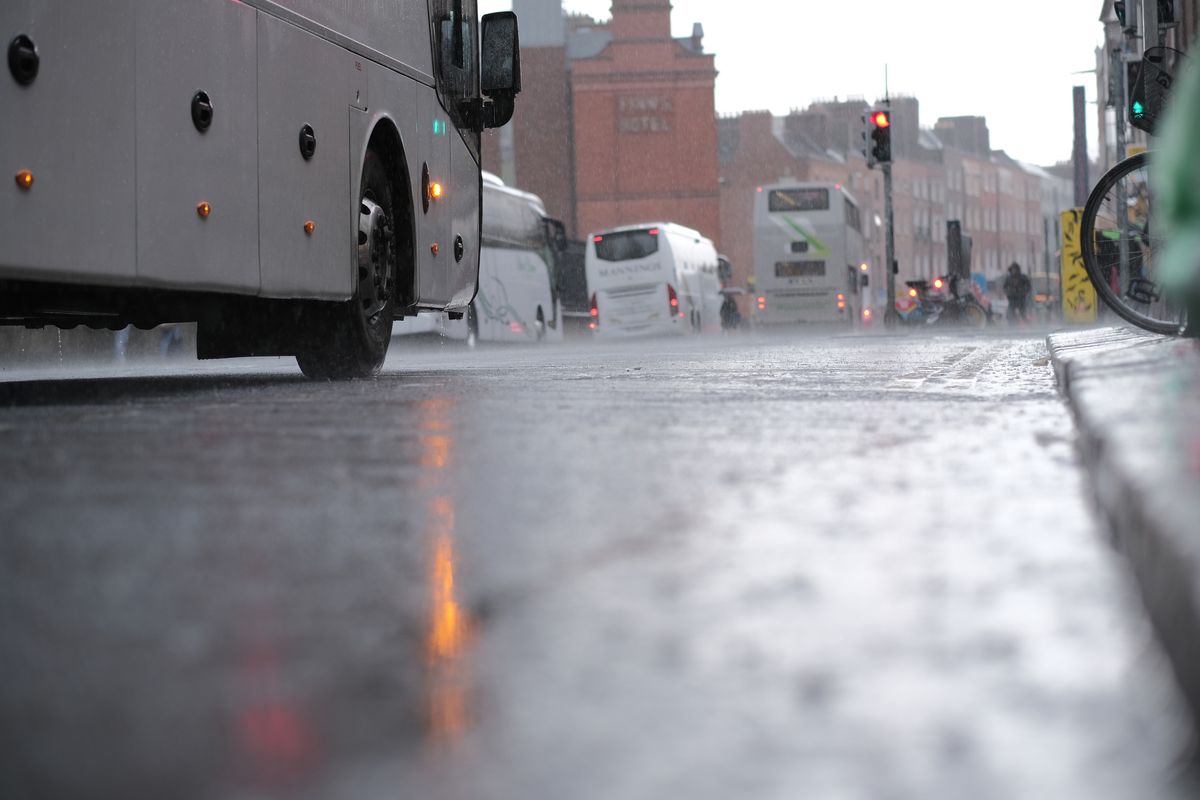
Low-angle still image of the road during a rainy day with cars and buses in the background in Dublin, Ireland
Ireland has been hit by some very rainy weather, with a status yellow rain warning in place for the capital, as well as Carlow, Kilkenny, Wexford, Wicklow and Waterford, today.
As we move into the coming days, a mix of rainy as well as dry and bright conditions are expected. There is also a possibility of a storm landing next week.
One forecaster said that there is a chance we may see some stormy developments due to an “invigorated jet stream” coming out of North America. It is “one to keep an eye on,” however long-range forecasting is notoriously subject to change so there is no guarantee.
Cathal Nolan of Ireland’s Weather Channel said that from next Thursday, there may be some stormy weather if current calculations come to fruition.
“We are keeping a close eye on developments from Thursday onwards. We see our wind switching to a westerly source, but there is a invigorated jet stream at that point coming out of North America, and that could very well lead to the development of some stormy conditions in our vicinity, we can’t pinpoint exactly this far out,” he said in a new Facebook forecast.
“But the risk of stormy conditions in our vicinity as we get towards Friday of next week in particular. So that is one to keep a close eye on.”
As for this week, there will be a mixture of wet and dry spells.
“It certainly has been an overcast, unsettled day today across the majority of the country with areas of rain, heavy rain at times pushing in from the west stalling across the country and even turning a little wintry in places, certainly reports of some wet snow sleet falling earlier on and indeed over the higher ground Above about 300-400 meters we’ve seen that fall as snow, especially so in Wicklow this evening, probably some accumulations in places. Don’t be surprised if you see a covering of snow on the mountains first thing tomorrow morning,” he said of today.
“But looking at the latest satellite picture, we can see the cold front that’s responsible for that rain today stretching all the way from just off the coast of Norway through the Faroe Islands right the way down through the UK, Ireland and indeed right the way into Spain, Portugal and even into Morocco in North Africa. We are however going to find ourselves under a clear slot tonight as a ridge of high pressure develops across the country.”
“Now that will mean clear skies, light winds and we’re on the cold side of that boundary between warmer air to our east and colder air to our west, meaning we will see icy conditions overnight tonight. Temperatures getting down to minus two, maybe even minus three degrees. Do exercise caution on the roads tonight, especially on untreated rural surfaces and footpaths. There is the likelihood of some slippery conditions. So be aware of that tonight and indeed tomorrow morning as well.”
As for tomorrow, much of the county may see “really pleasant conditions indeed” with a bright day.
“The sun at this time of the year getting a little bit of energy will feel very pleasant in the sunlight although temperatures will not be as high as they have been during the week given the fact that our winds are indeed coming more so from a southwesterly direction as opposed to a southeasterly, where we were getting air up from parts of north Africa and the Mediterranean.”
Want to see more of the stories you love from Dublin Live? Making us your preferred source on Google means you’ll get more of our exclusives, top stories and must-read content straight away. To add Dublin Live as a preferred source, simply click here.