
The recent spell of dry and sunny weather won’t be sticking around for too long, with the wet and windy conditions set to return with force next week
09:36, 07 Mar 2026Updated 10:02, 08 Mar 2026
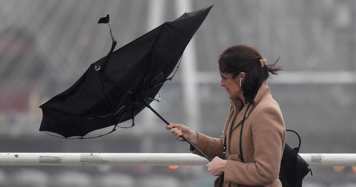
A woman holds an umbrella, blown inside-out by the wind, as she walks across Waterloo Bridge in London(Image: JUSTIN TALLIS/AFP via Getty Images)
Ireland enjoyed some glorious spring weather this week, as the country was treated to its first fully dry day of the year as we got a rare glimpse of clear blue skies and the sun shining.
In a very welcome change, there has been plenty of warm and sunny spells in recent days, with the dry and settled conditions thankfully set to continue into the weekend.
However, the glorious conditions are not set to last too long, with the miserable weather set to return next week, with a number of experts warning that Ireland could be set to endure some stormy weather in the coming days.
Alan O’Reilly, the hobbyist meteorologist who runs the popular Carlow Weather social media pages, warned that the conditions will take a turn on Sunday evening as a low pressure system ushers in a spell of unsettled weather.
The weather expert said that Ireland could face some stormy weather on Thursday and Friday, but said that the forecast remains ‘uncertain’ this far out.

Wet and windy conditions are set to batter the country later next week
“If we look at the bigger picture, we will continue to have more unsettled weather really from Sunday and into next week with low pressure systems,” O’Reilly said in a video message to his followers on Thursday.
“Sunny spells, showers, and a few heavier spells of rain. If you’re looking to escape the rain and you’re headed to Spain, you can see plenty of rain down there, too, I’m afraid.
“But if you look at the wind, there is going to be some windy weather again on Tuesday, and there is a risk of some stormy weather possibly towards the end of next week Thursday, Friday.
“But that’s very far out yet, very uncertain.
“Temperatures are going to increase a little, it has been quite cold.
“Temperatures will come back up, and by Sunday, they’ll be back up to 12C, 13C, and the same for much of next week, but no great heat I’m afraid to keep heating bills down.
“So it’s all in all. It’s a very mixed bag. Very changeable and if you look at the total rainfall for Europe, you can see over the next few days Spain is probably the wettest.”

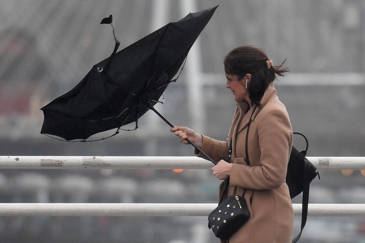
Heavy rain is predicted across the country next week(Image: Noel Sweeney/PA Wire)
Cathal Nolan, climate scientist and founder of Ireland’s Weather Channel, has also warned of stormy conditions heading our way.
“We see our winds switching to a westerly source, but there is an invigorated jet stream at that point coming out of North America, and that could very well lead to the development of some stormy conditions in our vicinity,” he said.
“We can’t pinpoint exactly this far out, but the risk of stormy conditions in our vicinity as we get towards Friday of next week, in particular, so that is one to keep a close eye on.”
Nick Critch from Weather Alerts Ireland offered a similarly worrying forecast, saying: “It is looking likely that next week the jet stream is going to ramp up.
“This will likely bring low-pressure systems, rain and wind with the potential for storms.”
Meanwhile, Met Eireann said that Atlantic low pressure will continue to drive our weather pattern next week. bringing generally changeable and unsettled conditions with spells of wet and windy weather interspersed with drier, brighter and more showery interludes.
You can check out Met Eireann’s forecast for the next few days below.
Met Eireann weather forecast
Saturday (March 7): Mostly dry today, Saturday, with variable amounts of cloud and sunshine. Isolated light showers are possible in western and southern counties and the lengthiest sunny spells will be across parts of the east and northeast. Highest temperatures of 9C to 13C in light to moderate southerly winds, fresher near Atlantic coasts.
Largely dry with variable cloud and clear spells at first tonight. Cloud will thicken in the west overnight bringing a few patches of light rain and drizzle to western and southwestern coastal parts by morning. Lowest temperatures of -1C to +4C generally, but a little milder in Atlantic coastal regions, in light to moderate south to southeast winds, fresher near Atlantic coasts.
Sunday (March 8): Mainly dry with sunny spells across the midlands and east at first tomorrow, Sunday, although there is the chance of the odd spot of light rain or drizzle in eastern coastal parts. Mostly cloudy conditions further west, with more persistent rain developing and slowly extending eastwards as the day goes on. Highest temperatures of 9C to 12C in light to moderate southerly winds, fresher near Atlantic coasts.
Mostly cloudy with outbreaks of rain and drizzle on Sunday night. Lowest temperatures of 2 to 6 degrees in mainly light, variable breezes.
Monday (March 9): Mostly cloudy and damp to begin on Monday with scattered patches of rain and drizzle. Sunny spells will develop as the day goes on, as the rain and drizzle eases. Highest temperatures of 8 to 11 degrees in light, mainly westerly, breezes.
Mainly dry with clear spells for a time on Monday night but thickening cloud and outbreaks of rain and drizzle will spread from the Atlantic overnight. Lowest temperatures of 1C to 5C, coldest in the east, in light to moderate southerly winds, fresher near Atlantic coasts.
Tuesday (March 10): Cloudy or becoming mostly cloudy on Tuesday morning with outbreaks of rain and drizzle continuing to spread eastwards over the country, turning heavier in the west and southwest later. Becoming breezier as the day goes on, with southerly winds increasing moderate to fresh and gusty. Highest temperatures of 9C to 13C.
Wet and breezy for a time on Tuesday night with widespread rain for time, gradually clearing eastwards overnight followed by clear spells and isolated showers, mainly in the west and north. Moderate to fresh southerly winds will veer southwest to west. Lowest temperatures of 5C to 9C.
Subscribe to our newsletter for the latest news from the Irish Mirror direct to your inbox: Sign up here.