
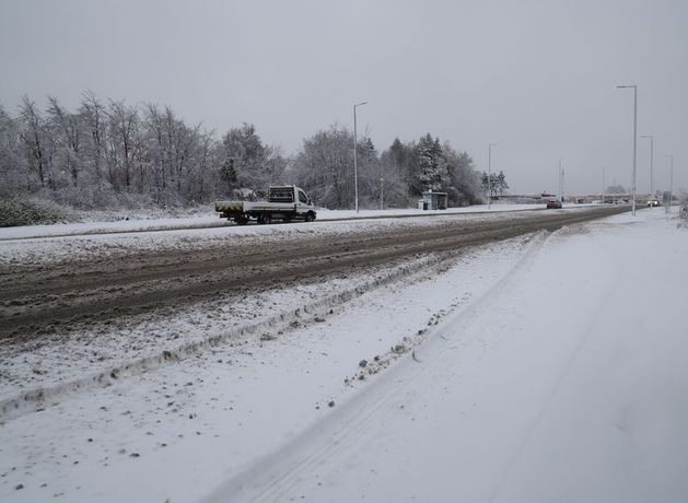
Beginning Thursday, snow is possible across higher ground and parts of the northwest
Snow is possible in areas of higher ground and in the northwest this week on Thursday evening and Friday, according to Met Éireann.
Rain or showers are set for each day this week, with intermittent drier patches and some sunny spells.
A “mobile Atlantic regime” will bring rain or showers each day. Turning breezy and cool with some of the showers turning wintry at times.
It will be dry and bright for most of the day with a mix of sunny spells and scattered showers, that will become more isolated through the afternoon.
However, cloud will build from the west towards evening, with highest temperatures of 8 to 11 degrees.
This evening will become windy with showery outbreaks of rain developing, heaviest for northwestern counties.
Lowest nighttime temperatures will be between 5 and 9 degrees.
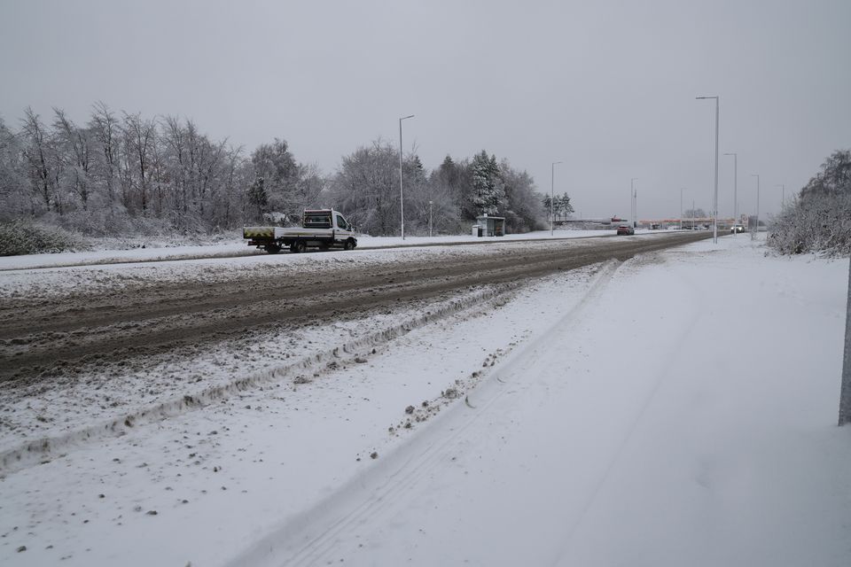
Met Éireann has said areas of higher ground and parts of the northwest are most likely to see snow (Steve Welsh/PA)
7 Day Weather Forecast – 9th March to 15th March
Tomorrow will be a wet and windy day with outbreaks of rain, heavy at times, along with fresh to strong and gusty southwest winds.
Some spot flooding is possible for Thursday, mainly in parts of the northwest. The rain will slowly clear southeastwards with sunny spells and showers following into the northwest during the afternoon.
Highest afternoon temperatures of 4 to 8 degrees over much of the northern half of the country and milder reaching 8 to 11 degrees further south. There will also be some hail and lightning occurring later in the day also.
Thursday night will be cold with scattered blustery wintry showers, mainly affecting Atlantic counties. Some lying snow is possible across higher ground and parts of the northwest, with lowest temperatures of 0 to 4 degrees.
Friday will be rather cold and breezy with sunny spells and scattered showers. The showers will fall as sleet and possibly snow at times early on.
Highest daytime temperatures will range between 5 and 8 degrees.
Friday night will see showers become largely confined to Atlantic coasts overnight. Lowest temperatures of 1 to 5 degrees in light to moderate southwest winds.
Saturday will be dry to start in the east with sunny spells, but the day will later become cloudy as rain and drizzle spread from the west becoming widespread by the afternoon.
Saturday will see highest afternoon temperatures of 5 to 9 degrees.
The evening will see the rain ease and become lighter and patchier with some clear spells developing.
Lowest nighttime temperatures will range from 5 to 8 degrees in moderate to fresh southwesterly winds.
Sunday will be a cool and breezy day with sunny spells and blustery showers, some turning wintry in places with sleet or hail possible.
There will be highest afternoon temperatures of 5 to 9 degrees in fresh to strong westerly winds.