
Orange Alerts for Canaries ahead of East Holidays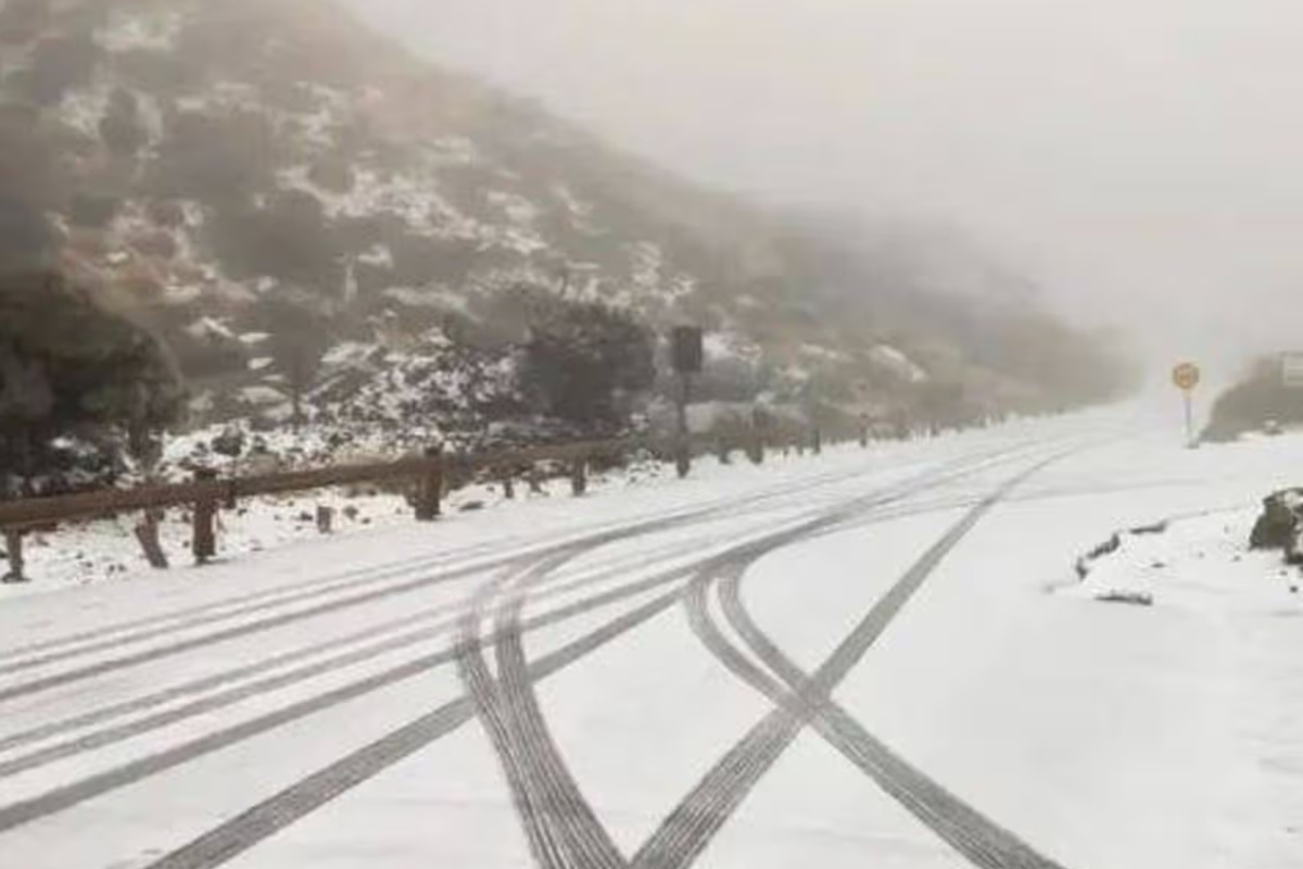
Snow on the approach to Teide National Park in the Canaries(Image: Tenerife Island Council)
If you think our weather in Ireland has been a bit all over the place recently – spare a thought for Spain, where it’s been snowing on the Canary Islands, west of the coast of Africa.
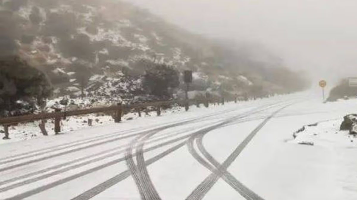
Tourists on the islands that are so popular with Cork and Irish visitors have been sharing pics of snow on the ground after the Canaries were issued an orange alert following days of torrential rain and strong winds, with the dismal weather set to persist. Forecasts suggest the adverse conditions could last for at least another five days, potentially disrupting some holiday plans.
Astonished tourists captured footage of the white-out at Teide National Park, with some roads closed due to the unexpected weather.
Storm Therese saw a series of weather warnings issued on Wednesday for various forms of severe weather, including: storms, flooding, high winds, heavy rainfall and large waves.
Meanwhile, here at home, many parts of Ireland saw the hottest day of the year yesterday, with the good weather set to continue today and through most of the weekend before taking another big swing. Next week could see very unsettled conditions and colder nights with the prospect of morning frosts in many areas. Spring has arrived, but March is showing little sign of going out like a lamb.
The full forecast for Munster this morning looks like:
TODAY – Friday 20th March
Any mist or fog patches will clear quickly this morning to leave a dry day with plenty of sunshine, turning a little hazy at times in places. There’s just the chance that a little coastal mist and fog may encroach onto coastal parts of the south from time to time. Highest temperatures of 12 to 18 degrees, warmest inland, in light southerly or variable breezes.
TONIGHT
Dry tonight with long clear spells. Lowest temperatures of 0 to 5 degrees in near calm conditions, with areas of mist and fog forming and with a touch of grass frost locally.
TOMORROW – Saturday 21st March
The mist and fog will generally clear quickly tomorrow morning to leave another dry day, with spells of sunshine, hazy at times. There’s just the chance that coastal mist and fog may move into some coastal parts at times. Highest temperatures of 12 to 15 or 16 degrees in mostly light southwest or variable breezes.
National Outlook
Overview: A little rain and drizzle on Sunday as a weak weather front sinks southeastwards, but overall plenty of dry weather for the rest of the weekend and the start of next week. It’ll turn more unsettled and mixed though from Monday night and for the rest of the week with some rain and showers on the way. Colder too, with some of the showers turning wintry through midweek and it’ll be windy at times.
Saturday night: Dry for a time with clear spells and with some patches of mist and fog forming, mainly further south. Cloud will increase from the northwest overnight with a little light rain and drizzle starting to move south-eastwards. Lowest temperatures of 1 to 8 degrees, coldest across the south and southeast, with just light variable breezes initially, becoming mostly light to moderate southwesterly and a little fresher in northwestern coastal parts.
Sunday: Generally cloudy for a time with a little rain and drizzle moving southeastwards. However, a clearance to mostly dry weather with some bright or sunny spells will extend from the northwest to most parts through the morning and afternoon. Highest temperatures of 10 to 14 degrees in light to moderate southwesterly winds, veering northwesterly.
Sunday night: Sunday night will be dry with a mix of cloud and clear spells. Lowest temperatures of 0 to 5 degrees, with a touch of frost possible in places, with just light variable breezes.
Monday: Monday will hold mostly dry with some hazy spells of sunshine, though it’ll become increasingly cloudy with some light rain and drizzle moving into northwestern parts later. Highest temperatures of 10 to 13 degrees with southwest winds increasing mostly moderate, fresher later in western and northwestern coastal parts.
Monday night: A breezy and cloudy night with outbreaks of rain moving south-eastwards to most parts. Lowest temperatures of 6 to 9 degrees in moderate to fresh and gusty southwest winds, stronger in western and northwestern coastal parts.
Tuesday: Cloudy for a time with further outbreaks of rain, heavy at times. The rain will gradually clear southeastwards through the day, with sunny spells and fairly widespread showers following, some of hail, with the chance of the off rumble of thunder. A blustery day with highest temperatures of 9 to 12 degrees in fresh and gusty southwesterly winds veering westerly, strong to near gale force and gusty in western coastal parts.
Tuesday night: Continuing rather windy and showery, some of the showers turning wintry and with a chance of thunder. Lowest temperatures of 0 to 4 degrees in fresh and gusty westerly winds, strong to near gale force in western coastal parts.
Wednesday: A windy and showery day and some of the showers will be heavy, with a chance of thunder. Some will be wintry too especially through the morning and again later, There’ll be some sunny spells also. Highest temperatures of just 5 to 9 degrees, but feeling colder with the added wind chill from fresh to strong and gusty northwest winds, reaching near gale to gale force in western and northern coastal parts.
Thursday: Some frost and ice in parts to begin on Thursday. There’ll still be scattered showers around, some wintry, but overall a good deal of dry weather with sunny spells. Breezy for a time, but the moderate to fresh northwest winds will gradually ease. Highest temperatures of just 5 to 8 degrees.
Further outlook: It looks like the weather will be mixed and changeable over the following few days, with some rain and drizzle from time to time as weather fronts break through, but some dry and sunnier spells too with high pressure moving closeby. It’s likely to continue on the cool side with some frost.