

It will be windy and wet day on Saturday with strong and gusty southerly and gales on coasts
The national forecaster said Storm Dave will bring very strong southerly winds, veering westerly by the evening with severe gusts and coastal gales.
The warning will be valid from 3pm on Saturday until midnight on Sunday.
Possible impacts include some fallen trees, branches, wave overtopping, difficult travelling conditions, debris and loose objects displaced.
Easter weekend is expected to bring unsettled conditions, with a chance of hail and sleet on Easter Sunday.
Easter Sunday is then forecast to potentially see showers of hail or sleet early on, mainly on higher ground.
Speaking on RTÉ Radio One this morning, Met Éireann meteorologist Michelle Dillon said forecasters were due to issue Status Yellow wind warnings for the whole country for Easter weekend.
The UK Met Office has also issued a Status Yellow wind warning for Antrim, Armagh, Down, Fermanagh, Tyrone and Derry.
It said Storm Dave will bring a spell of very strong winds Saturday into Easter Sunday morning which may cause some damage and travel disruption.
That alert will be valid from 2pm on Saturday to 2am on Sunday.
Meanwhile, Thursday will start largely dry and bright with light winds and just isolated showers in the west.
It will turn cloudier through the morning with rain and drizzle. The rain will be heaviest across west Connacht with a chance of spot flooding.
It is set to be cooler today with highest temperatures of 7 to 10 degrees.
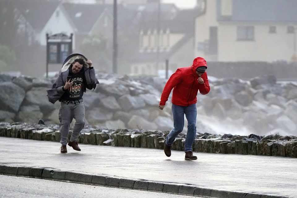
There will be a wet and windy to start to Saturday night with outbreaks of rain and strong and gusty southwesterly winds. (File photo: Niall Carson/PA)
Today’s news in 90 seconds – Thursday, April 2
There will be a wet and breezy start tonight with outbreaks of rain and drizzle.
Rain will become confined to the south and southwest overnight with clear spells and scattered showers following elsewhere. There will be lowest temperatures of between 5 and 9 degrees.
Tomorrow morning, Good Friday, will become cloudier and breezier as outbreaks of rain and drizzle spread northeastwards across the country. The rain and drizzle will clear to sunny spells and scattered showers in the afternoon, with winds slowly easing.
There will be highest daytime temperatures ranging from 9 to 13 or 14 degrees. Friday night will see clear spells and isolated showers at first, but it will turn cloudier through the night with outbreaks of rain and drizzle spreading northeastwards across the country. There will be nighttime lows of 1 to 6 degrees temperature, coldest in Ulster. It will be windy and wet day on Saturday with strong and gusty southerly and gales on coasts, bringing the potential for wave overtopping.
Outbreaks of rain will become widespread through the day, turning heavy at times with spot flooding possible, while there will be highest temperatures of 11 to 14 degrees.
There will be a wet and windy to start to Saturday night with outbreaks of rain and strong and gusty southwesterly winds. The rain will quickly clear, followed by clear spells and scattered showers. The odd shower of hail and sleet is possible and it will become cold with lowest temperatures of 1 to 4 degrees.
Easter Sunday will be a bright and breezy day with sunny spells and scattered showers. There is a chance of some showers of hail or sleet early on, mainly on higher ground. Daytime temperatures will be cool, ranging from 7 to 10 degrees.
Monday is set to be rather windy with fresh to strong southerly winds developing. It will be cloudy and damp for most with patchy light rain, drizzle and mist. It will be a milder day with highest temperatures of 10 to 14 degrees.
It is set to remain unsettled for the rest of next week with Atlantic low pressure systems bringing further wet and blustery weather.