

Temperatures are set to drop overnight but a sudden heat surge will see the thermometer climb in the coming days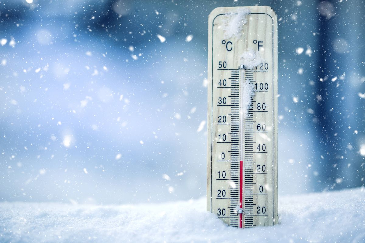
A sudden drop in temperatures is forecast overnight
Temperatures are set to dip across the country overnight on Easter Sunday, dropping to a chilly 0C.
Storm Dave wreaked havoc on parts of Ireland on Saturday, grounding flights at Dublin Airport and delivering gusts in excess of 100km/h in some areas. The entire country was under a Status Yellow Wind warning until the early hours of the morning, and Wexford was placed under a Status Orange warning.
While Storm Dave has passed, giving way to a much brighter Easter Sunday morning, Met Éireann forecasters have warned that the mercury will dip to a freezing 0C overnight – with temperatures coldest in the north.
However, there is some good news, with a surge in temperatures predicted next week.
Alan O’Reilly, of Carlow Weather, told his 300,000 followers that conditions are set to improve dramatically on Tuesday, with the thermometer predicted to climb to 16C.
Overall, the coming days will see generally mixed conditions, forecasters have said, with mild temperatures at first but returning to more normal values later in the week.

It will be a chilly one tonight (Image: No credit)
O’Reilly said rainfall for the coming week was looking smaller compared to this week. He wrote: “Rainfall amounts for the next seven days looking smaller again.”
Here is Met Éireann’s forecast for the coming days:
Sunday
Bright and breezy this morning with sunny spells and scattered showers. Some showers may fall as hail with sleet possible on higher ground early on. The showers will ease through the afternoon, becoming isolated by evening. Feeling crisp with highest temperatures of just 7C to 10C in moderate to fresh westerly winds, easing later.
Dry with mostly clear skies early tonight. Cloud will build from the west with a few spots of drizzle moving onto western coasts towards morning. Lowest temperatures of 0C to 4C, coldest in the north, in light variable winds, becoming southerly and increasing moderate to fresh by morning.
Monday
Rather windy and largely dry tomorrow with plenty of cloud though sunny spells will break through at times, particularly in the east. Some patchy light rain and drizzle will occur, mainly for Atlantic coastal counties. Highest temperatures of 10C to 14C with fresh to strong south or southeast winds, easing moderate to fresh later.
Dry and mostly clear over the eastern half of the country through the night. Variable cloud further west with some showery outbreaks of rain moving in towards morning. Lowest temperatures of 6C to 9C in moderate, occasionally fresh southeast winds.
Tuesday
Sunny spells in the east in the morning will give way to cloudier conditions with showery outbreaks of rain pushing up from the south, heavy or thundery at times, but easing in the evening. Highest temperatures of 13C to 16C in moderate, occasionally fresh southeast winds, easing light to moderate during the afternoon.
Plenty of cloud and limited clear spells with some patchy light rain but mostly dry overall on Tuesday night. Lowest temperatures of 6C to 10C in light southwesterly or variable breezes.
Wednesday
A mix of cloud and sunny spells with isolated showers in the morning. During the afternoon, cloud will build from the west as a spell of rain pushes in over the northwestern half of the country later, tracking eastwards overnight. Highest temperatures of 11C to 15C in light to moderate southwesterly breezes.
Want to see more of the stories you love from the Irish Mirror? Making us your preferred source on Google means you’ll get more of our exclusives, top stories and must-read content straight away. To add Irish Mirror as a preferred source, simply click here.