
Storm Eddie might not be officially named but he is set to make his presence known across Ireland
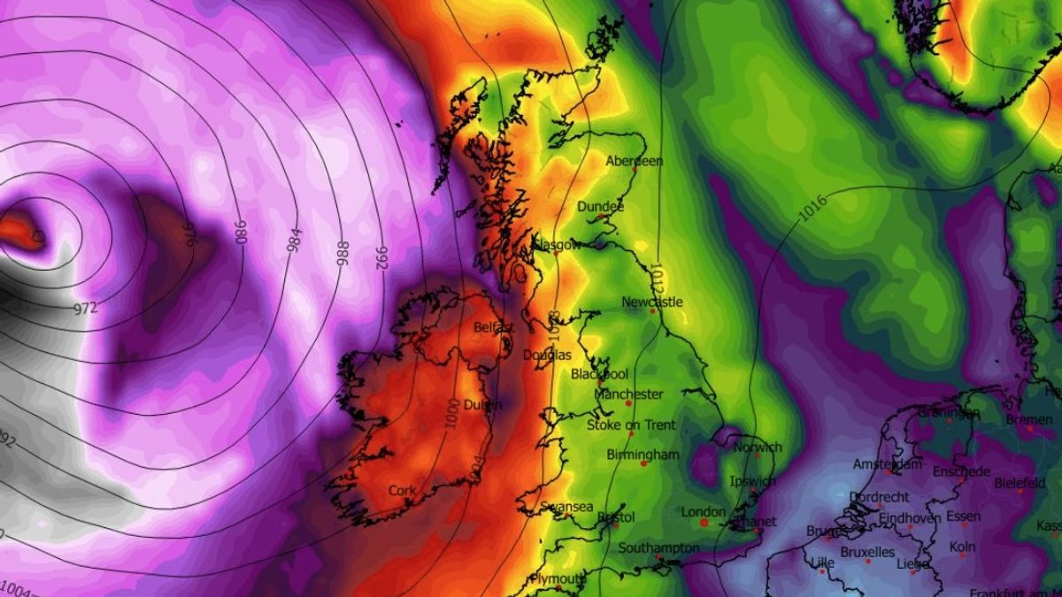
Storm Eddie has yet to be officially named by experts. (Image: WXCharts.com)
Met Eireann has issued multiple weather warnings as stormy conditions are set to batter Ireland this coming weekend.
The first alert, which is for rain, issued by the state forecaster applies to counties Kerry, Cork and Waterford and is valid between 9am and 9pm on Friday. The warning was issued by Met Eireann on Thursday morning. Potential impacts include localised flooding and difficult travelling conditions
The second warning is for wind and applies to counties Donegal, Galway, Leitrim, Mayo and Sligo. This alert is valid between 12pm and 9pm on Friday. Potential impacts include difficult travelling conditions and some fallen trees and branches.
The weather system at the centre of the alerts has not been officially named as a storm yet but if it is it will be called Storm Eddie.
Meanwhile, reacting to the forecast for the next 48 hours, Irish weather expert, Alan O’Reilly of Carlow Weather on X told his followers to expect “tough conditions”.
“Total rainfall forecast up to Saturday morning with a wet Friday,” he said.
“Over 50mm possible on high ground in Southwest. Tough conditions for farmers trying to get crops in.”
Met Eireann National Outlook:
Friday night: Wet and windy early Friday night with gales on western, northern and eastern coasts. Some heavy and squally bursts of rain are possible. The rain will clear eastwards overnight and will be followed by scattered showers of rain or sleet and some clear spells. Winds will ease too. Lowest temperatures of 1 to 5 degrees with fresh to strong and gusty south to southwest winds, decreasing moderate to fresh.
Saturday: It will become windy again on Saturday with fresh to strong and gusty south to southwest winds and gales on coasts. A crisp and sunny start in the east will give way to scattered blustery showers spreading from the west. Some of the showers will be heavy with a chance of hail and thunder, and a few could be wintry about high ground in the west early on. Highest temperatures of 7 to 11 degrees.
Saturday night: Blustery with scattered showers and clear spells. Lowest temperatures of 4 to 7 degrees with fresh and gusty south to southwest winds.
Sunday: A breezy and blustery day with a mix of sunny spells and scattered showers. Some of the showers will be heavy and there is a chance of hail. Highest temperatures of 9 to 12 degrees with a moderate to fresh and gusty southwest to west breeze.
Sunday night: Winds will ease on Sunday night and showers will clear from most areas. Lowest temperatures of 0 to 4 degrees with light to moderate south to southwest winds.
Monday: After a mostly dry and bright start, showers will extend from the west, but will clear again from most areas during the evening. Highest temperatures of 8 to 11 degrees with light to moderate southwest to west winds.
Further outlook: Continuing changeable with wet and breezy conditions at times.
Want to see more of the stories you love from the Irish Mirror? Making us your preferred source on Google means you’ll get more of our exclusives, top stories and must-read content straight away. To add Irish Mirror as a preferred source, simply click here.