
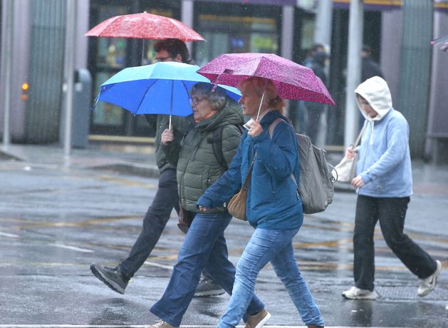
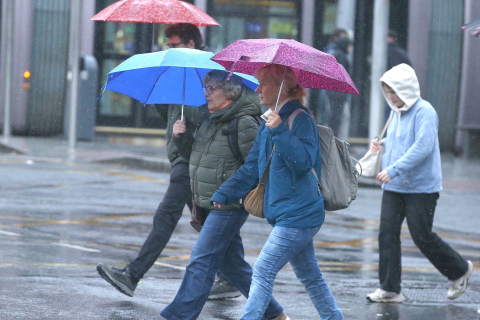
Stock image: Photo: Collins
There are a few cloudy, wet days ahead, but conditions will take a turn for the better towards the end of this week.
Tuesday will be dull and damp with rain or drizzle, and that rain will turn heavier this evening, particularly in the west and southwest.
It will be mild but breezy, with highest temperatures of 10 to 14C.
“Well, our weather will be rather unsettled and often breezy over the coming days, though it will be a bit milder, and there are indications for more settled conditions developing later in the weekend,” meteorologist Andrew Doran-Sherlock said in Met Éireann’s morning forecast.
Wet conditions will continue into tonight with more rain, and there will be patches of mist and fog in parts. It will be a mild night with lows of 8 to 11C.
Wednesday will bring another cloudy and wet start. Rain will be widespread and turn heavy at times, but it will clear through the morning.
A mix of sunny spells and showers will follow, with a chance of hail and thunderstorms. Highest temperatures will be between 11 and 14 or 15C.
Into Wednesday night, there will be longer spells of rain in the west and north, with conditions staying largely dry in the south and east. Lowest temperatures will be between 5 and 8C.
While it will be rainy and breezy for the rest of the working week, Met Éireann has forecast a change to “more settled conditions” at the weekend.
Thursday morning will bring sunny spells and scattered showers, before it becomes cloudy again in the afternoon. Rain and drizzle will spread to all areas by the evening, with highs of 11 to 14C.
Breezy conditions and spells of rain will persist into Friday, but conditions will improve for the weekend. Showers will be “well scattered” and isolated on Saturday, while Sunday will bring a mix of cloud and sunshine with just a few showers.