
![]()
Listen to this article
Estimated 4 minutes
The audio version of this article is generated by AI-based technology. Mispronunciations can occur. We are working with our partners to continually review and improve the results.
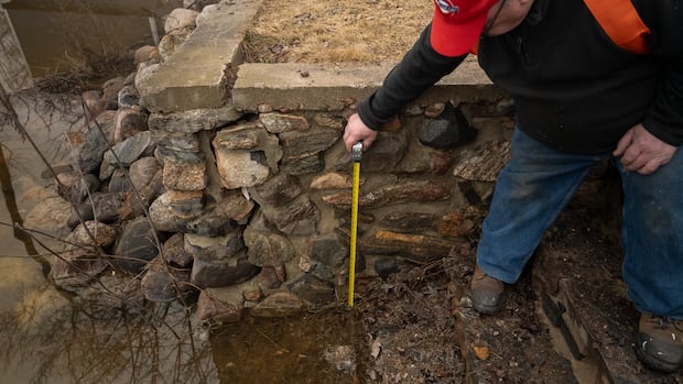
The board managing the Ottawa River’s reservoirs says minor flooding appears to be imminent starting in Pembroke, and it cannot rule out major flooding in the next week between the Arnprior and Cumberland areas.
Minor flooding means parts of some streets, lawns and parks flood, with limited buildings affected. Major flooding means several streets and buildings are affected.
The Ottawa River reached major flood levels in 2017, 2019 and 2023.
Its Ottawa River Regulation Planning Board said water levels are increasing quickly along the river because of this week’s rain and snowmelt much further north.
As of its Wednesday afternoon water level updates from various measuring locations:
The Pembroke area was around 112.5 metres above sea level and expected to get to 113.1 on Saturday, about 22 centimetres below the record high for that day.The Fort-Coulonge area was around 107 and forecast to reach 108.3 on Saturday, which would be a record high.The Arnprior area was around 74.7 and forecast to reach 75.4 on Saturday, about half a metre below that day’s record high.The Britannia area was around 59.2 and forecast to reach nearly 60 metres on Saturday, about 25 centimetres below that day’s record high.The Hull area was around 42.9 and forecast to reach 43.9 on Saturday, about nine centimetres below that day’s record high.The Thurso area was around 42.1 and forecast to reach 42.5 on Saturday, about 22 centimetres below that day’s record high.
The Rideau Valley Conservation Authority said Thursday morning major flooding could happen between Arnprior and Britannia over the weekend and downstream from Britannia starting Monday.
It asks people in flood-prone areas to check sump pumps, generators, downspouts and culverts, and consider securing anything that could float away if flooded.
WATCH | Some of the scenes on Wednesday: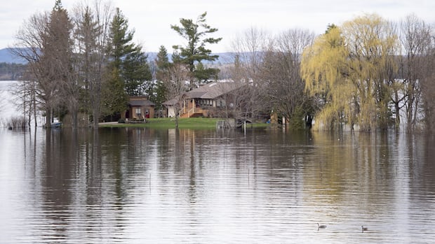
Residents preparing as flood warning issued on Ottawa River between Pembroke and Arnprior
Kevin Ward lives in Mansfield-et-Pontefract, which lies on the Quebec side of the Ottawa River. He says he’s taking steps to protect his property as water levels rise in the area.Other waterways
Quebec’s flooding information map reports minor flooding in Ripon from the Petite Nation River and, along with the Ottawa River, is watching with some concern the Rouge River near the rue Walker bridge.
Besides the Ottawa River, there are water safety statements and flood watches in eastern Ontario’s six conservation authorities in more southern parts of the region.
The maximum level on that scale is a flood warning.
The region can generally expect about 15 more millimetres of rain Thursday, according to Environment Canada.
Sandbags offered
The City of Gatineau gave an update on its flood preparations Thursday morning.
It said it is carefully monitoring about 20 roads near the river, specifically in the Aylmer, Hull, Gatineau and Masson-Angers sectors. Those roads could be partially or fully closed depending on the situation.
Firefighters will be going door-to-door in those areas Thursday to offer support and answer questions, according to the city.
Sandbags will be available in parks at 5 rue Louis-Roy in Aylmer starting at 11 a.m. and at 745 boulevard Maloney Est in the Gatineau sector starting at 4 p.m.
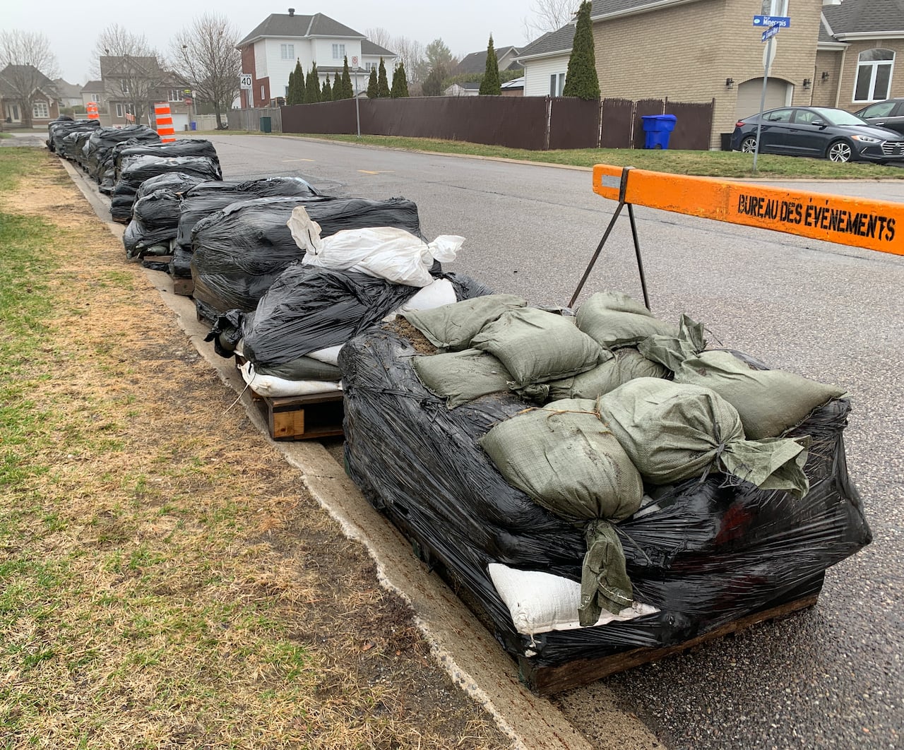 Sandbags available for Gatineau, Que., residents in its western Aylmer sector on Thursday. (Nathan Fung/CBC)
Ottawa is offering sandbags at 14 locations and asks people to take necessary precautions for possible flooding.
Renfrew County and Arnprior are referring residents to a Ministry of Natural Resources flood warning earlier this week.
Clarence-Rockland and Prescott-Russell counties are asking people to follow updates from South Nation Conservation.
Mansfield-et-Pontefract in the Fort-Coulonge area is making sandbags available at 32 chemin de Lac de la Truite.