
We are currently enjoying a lovely spell of settled weather but conditions are expected to take a turn following the May bank holiday
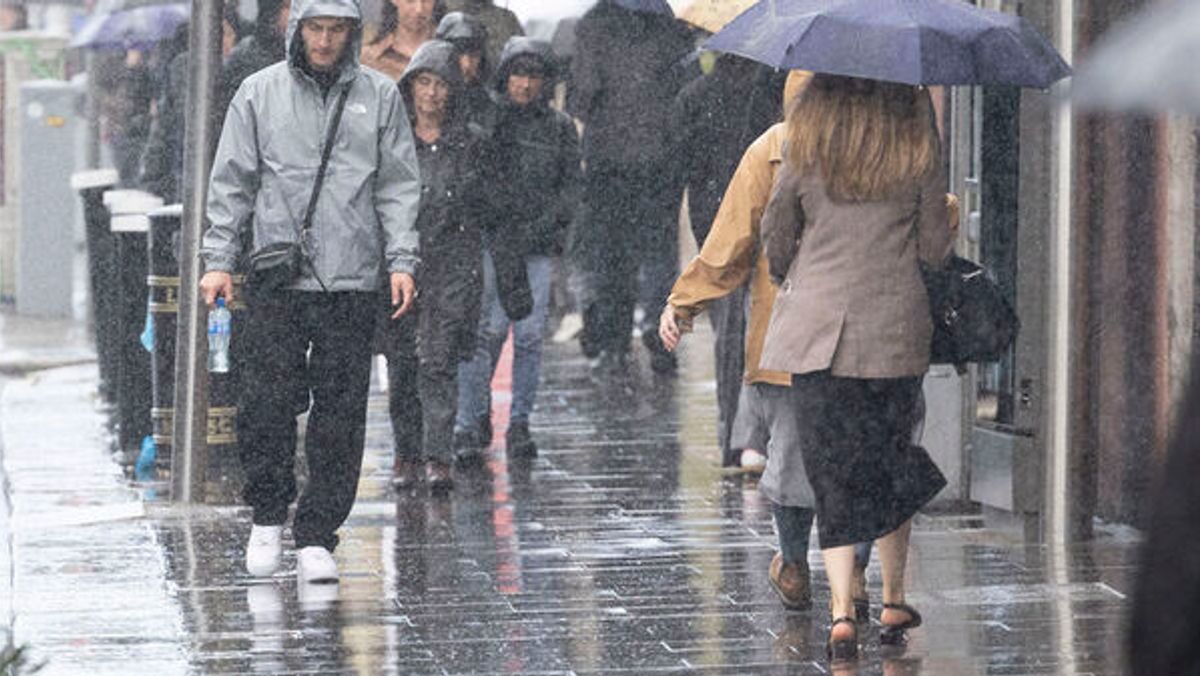
Rain (stock)(Image: Collins Photo Agency)
Met Eireann has forecast unsettled conditions to take over in early May following a long spell of high pressure.
We are currently enjoying dry weather with plenty of sunshine as high pressure is centred close to Ireland. The settled conditions are expected to continue until early May before low pressure is forecast to become dominant.
Here is Met Eireann’s extended range forecast for the coming weeks:
Week 1 – Monday April 27 to Sunday May 3
“Confidence is high during week 1, for a continuation of largely settled conditions, with high pressure centred close to or over Ireland. It’ll be much drier than average, with very little if any rainfall expected and it’ll also be warmer than average by a few degrees. Winds will be mostly light, occasionally moderate, with some sea breezes locally.”
Week 2 – Monday May 4 to Sunday May 10
“During week 2, there’s a strong signal that it will turn more unsettled with low pressure becoming dominant. There’ll be rain or showers at times, with rainfall amounts expected to come in a little above average. Temperatures will drop too from the previous week to more like average values for the time of year.”
Week 3 – Monday May 11 to Sunday May 17
“Confidence in the forecast decreases for week 3. However, there’s a signal for mixed and changeable conditions, with some showers or rain at times. There’s a signal for slightly higher than average rainfall in the east and north, with around normal rainfall totals expected elsewhere. There’ll be some drier spells too and overall it looks like temperatures will be around average to a little higher than normal for the time of year.”
Week 4 – Monday 18th May to Sunday 24th May
“By week 4, confidence in the forecast decreases further. However, there’s a signal for low pressure to be centred to the north of Scotland and high pressure over Central Europe, placing Ireland into a predominantly westerly airflow. There’s a signal for higher than average rainfall amounts generally, with drier conditions in some southern areas. Temperatures are likely to be around average, though possibly a little higher than normal along the east coast.”
Want to see more of the stories you love from Dublin Live? Making us your preferred source on Google means you’ll get more of our exclusives, top stories and must-read content straight away. To add Dublin Live as a preferred source, simply click here.
Join our Dublin Live breaking news service on WhatsApp. Click this link to receive your daily dose of Dublin Live content.
We also treat our community members to special offers, promotions, and adverts from us and our partners. If you don’t like our community, you can check out any time you like. If you’re curious, you can read our Privacy Notice.