
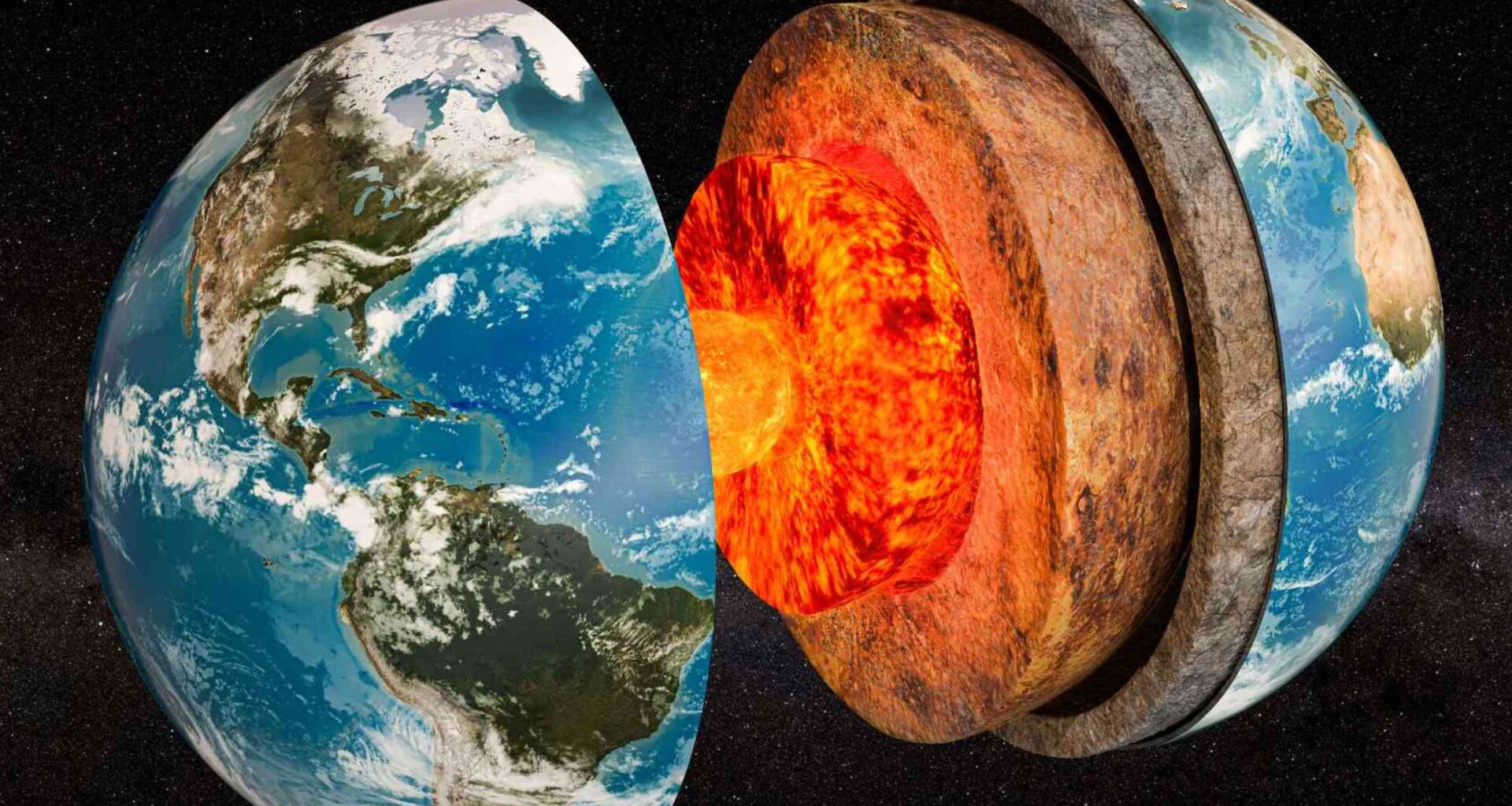
Scientists discovered recently that ancient slabs of Earth’s outer shell are still warping the planet’s deepest rock layer 1,800 miles below the surface.
The finding turns long-buried tectonic wreckage into an active force in Earth’s slow interior motion.
A buried pattern

Near the core-mantle boundary, the border where mantle rock meets the outer core, seismic signals carried the shape of hidden deformation.
Across that deep shell, geophysicist Jonathan Wolf at the University of California, Berkeley connected warped zones to ancient slabs through earthquake records.
Those warped zones span most of the deep layer just above Earth’s core, showing a pattern far larger than earlier regional clues.
That huge pattern turned scattered evidence into a global litmus test.
Waves reveal stress
Closer to the surface, the upper mantle has a familiar source of strain.
“We know that deformation in the upper mantle is dominated by the drag of the plates that move across it,” Wolf said.
Far below, shear waves, which are side-to-side earthquake vibrations, split when crystals or strained rock favor one direction.
That split exposes seismic anisotropy – when waves travel at different speeds depending on direction – because the directional speed pattern gives scientists a direct sign of deep deformation.
Old slabs descend
Where one plate edge meets another, tectonic plates, moving pieces of Earth’s outer shell, can slide beneath neighboring plates and sink.
Geologists call that descent subduction, a recycling process that carries cold crust into the hotter mantle.
Over millions of years, these subducted slabs, sunken plate pieces, may travel far below the volcanoes they helped feed.
By the time they reach the deep boundary, they can spread, buckle, and shove nearby rock sideways.
The pattern sharpens
To test the link, the team built a global archive from more than 16 million seismograms at 24 data centers.
Each seismogram, a recording of earthquake motion, preserved tiny timing differences from waves crossing the planet.
Strict filtering left about 70,000 paired measurements, enough to compare deep regions across broad parts of Earth.
Roughly two-thirds of the sampled area showed anisotropy, but the pattern did not spread evenly everywhere.
Colder regions stand out
Slab-rich areas produced the clearest match: 85% of sampled slab regions showed anisotropy, compared with 63% outside them.
An earlier atlas combined ancient plate positions with deep scans to outline likely remnants far below the surface.
Those remnants are colder than surrounding rock, so earthquake waves usually pass through them faster than average.
That match made slab remnants the strongest lead, even though deep deformation still has more than one cause.
Minerals carry strain
As slabs sink, pressure and heat can rearrange minerals, changing how crystals line up inside the rock.
High-pressure experiments showed that a common deep-mantle mineral can transform into postperovskite, a dense form expected near Earth’s core.
When those crystal alignments build under strain, waves can move faster along one direction than another.
Older crystal alignments from shallower depths may survive, but new squeezing near the boundary likely adds the stronger signal.
Signals need caution
Absence of a signal does not prove calm rock, because weak or fine-scale deformation can hide from current tools.
Some sampled paths crossed the deep mantle from limited directions, which can blur a pattern rather than erase it.
Large hot regions under Africa and the Pacific also remained sparsely covered, so the map cannot judge them fairly.
That boundary matters because missed signals could change local details without overturning the broad slab connection.
Data opens questions
Beyond the first map, the archive gives scientists many chances to test how deep rocks flow.
Different wave paths can check whether deformation points one way, spreads unevenly, or changes with scale.
Better coverage in missing regions would sharpen weak signals and separate true quiet zones from blind spots.
“If I can dream, we will someday have enough information to really say much more about global flow directions of the lowermost mantle, knowing the seismic anisotropy across different lateral scales in the mantle, illuminating it from many directions,” Wolf said.
Why depth matters
Surface plates shape earthquakes, mountains, and ocean trenches, but this work follows their influence much farther down.
The result supports whole-mantle convection, planet-scale circulation in solid rock, as a bridge between surface motion and deep deformation.
Because mantle rock creeps over millions of years, these hidden changes do not point to a sudden hazard at the surface.
Instead, they refine how Earth loses heat, recycles crust, and keeps solid rock moving over geologic time.
A deeper connection
Old slabs, split waves, and strained minerals now point to one connected system linking vanished seafloor with the planet’s deepest rock.
Future maps will need cleaner coverage and sharper tests, especially where hot deep regions still hide their structure.
The study is published in The Seismic Record.
—–
Like what you read? Subscribe to our newsletter for engaging articles, exclusive content, and the latest updates.
Check us out on EarthSnap, a free app brought to you by Eric Ralls and Earth.com.
—–