
Met Eireann’s seasonal outlook signals above average temperatures for May, June and July, fuelling hopes of Ireland’s hottest summer on record – here’s everything you need to know
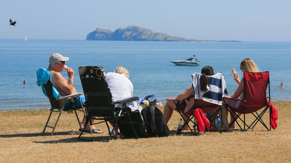
People enjoying the good weather on Portmarnock Beach, Dublin on June 28, 2018(Image: Collins)
Summer may have only just kicked off, but there are already whispers that something more significant could be brewing. Following a rather unremarkable start to May, focus is shifting towards what the remainder of the season might deliver.
It’s early stages yet, but certain forecasts are suggesting the possibility of a memorable summer ahead. Met Éireann has indicated that the chances of above-average temperatures are set to rise throughout June and July.
In its seasonal outlook covering May, June and July, the forecaster noted: “The signal from the C3S seasonal models for Ireland during the May, June, July (MJJ) period is for above average temperatures.
“Mean temperatures during MJJ are signalled to be above average overall. Temperatures are likely to trend between 0.2 and 1.0C above average generally. The potential for warmer than average temperatures increases through June and July.”
That said, the national forecaster cautioned that rainfall predictions remain less clear, observing: “The rainfall forecast is less certain with no clear signal for above or below average rainfall overall. There is potential for both wetter and drier spells within the three months.”, reports the Irish Mirror.
This preliminary indication has contributed to mounting optimism surrounding the type of weather Ireland might experience as summer unfolds.
Bookmakers have also responded to the encouraging forecast. Ladbrokes has cut odds on “Summer 2026 to be the hottest on record” from 4/1 down to 2/1, with punters backing the likelihood of an extended period of warm weather. Nicola McGeady of Ladbrokes remarked: “Who needs to go abroad for the sun? It looks like we could be in for a record-breaking summer for all the right reasons.”
Heatwaves are typically characterised as stretches of several consecutive days with above-average temperatures, though a Met Éireann forecaster previously told the Irish Mirror: “That is a working definition used by some other met offices, but the Met Eireann definition of a heatwave is five consecutive days of temperatures above 25C.”
In the meantime, the forecast for the days ahead looks decidedly unpredictable. Today will see cloud and scattered showers across the south and northeast, while other regions remain largely dry with sunny intervals and highs of 9C to 14C.
Thursday is set to begin brightly for most, with sunny spells stretching across much of the country. That said, showers are expected to become increasingly widespread throughout the afternoon and evening, with temperatures peaking at 11C to 15C.
Casting an eye further ahead, Friday will be predominantly overcast with sporadic showers early on, before brighter and drier conditions begin to emerge across parts of the northwest as the day progresses.
The national forecaster noted “there is uncertainty in the weekend forecast”, though current indications point towards a largely dry Saturday for most, with sunny spells on offer, albeit with the possibility of rain pushing into southern areas. Sunday looks set to deliver a blend of sunny spells and scattered showers, especially across southern areas, while the week ahead is anticipated to remain unsettled, with temperatures expected to sit a touch below the seasonal norm.
Want to see more of the stories you love from RSVP ? To add RSVP as a preferred source of news on Google, simply click here