
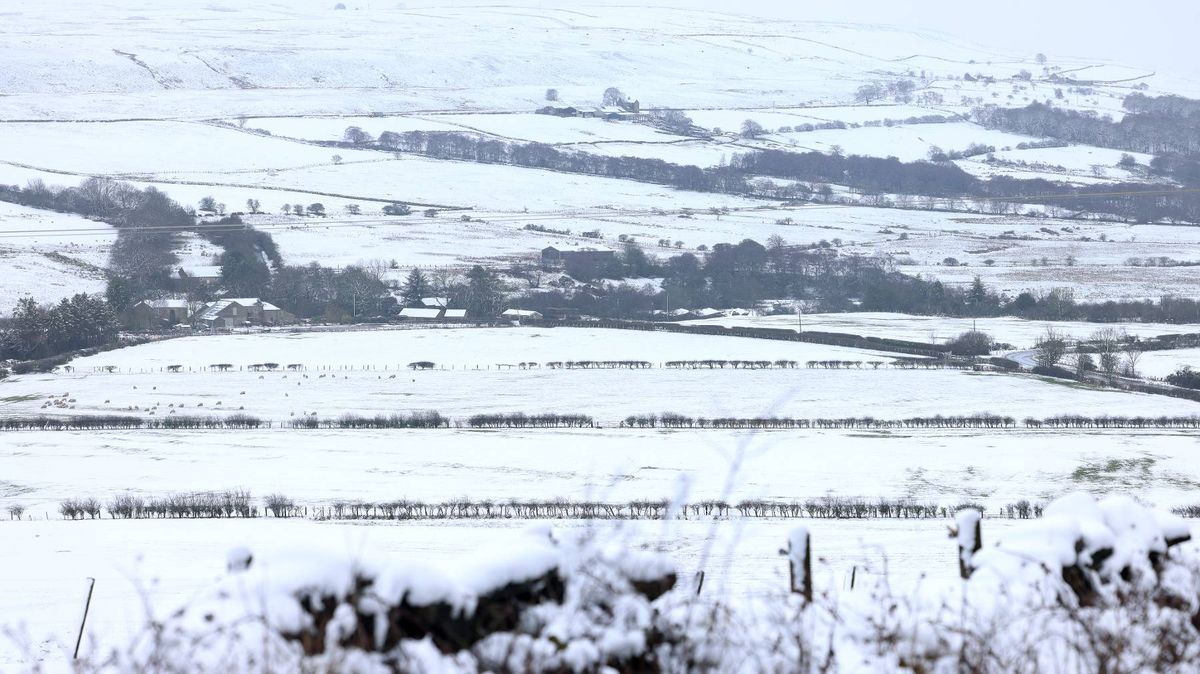
Weather charts are forecasting 30 hours of continuous wintry showers for Britain, with 13 counties affected by the freezing influx as Ireland looks set to escape the worstKirstie McCrum Deputy Head of News, Live News Network, Sarah Magliocco Reporter and Astha Saxena
16:59, 10 May 2026Updated 17:06, 10 May 2026
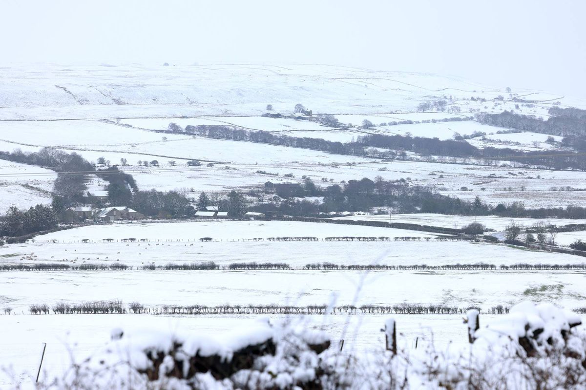
(Image: Newcastle Chronicle)
Ireland appears to have ‘snow chance’ of the wintry conditions threatening to sweep across the UK this week.
Weather maps reveal an unseasonable cold snap descending on large parts of Britain. Forecasting charts are predicting 30 hours of non-stop wintry precipitation for Britain, with 13 counties in the firing line of the Arctic blast.
WXCharts suggests the first waves of snow will touch down at 3pm on Tuesday (May 12), continuing through until 9pm on Wednesday (May 13). However, the maps indicate that we’ll largely escape the brunt of the snowfall.
The Met Éireann outlook for the coming days states that conditions here will be “changeable and a little more unsettled from midweek with a mix of sunshine and blustery showers”. Temperatures will, though, remain “cool for this time of year”.
Over in England, by midday on Wednesday, the charts show snow pushing into areas of Yorkshire and County Durham – including Harrogate and Darlington – while Newcastle and Durham are also set to see flurries.
Scotland, from Ayr extending to central and northern areas, is similarly forecast to experience widespread snow during the same period.
Snow is expected to arrive in northwest Scotland at around 6pm on Tuesday, based on WXCharts projections. Further south, sections of northern England – including Blackpool, Preston and Blackburn – are forecast to receive rainfall instead of snow. Alongside the snowfall, temperatures are set to plummet to near-freezing across large parts of Scotland at approximately 6am on Wednesday, with lows ranging between 3C and 7C throughout much of England, reports the Express, reports the Irish Mirror.
The Met Office’s forecast from Tuesday to Thursday states: “Rain moving southeastwards on Tuesday. This followed on Wednesday and Thursday by sunshine and showers, heavy and thundery at times. Rather cool and often breezy. Further overnight frosts.”
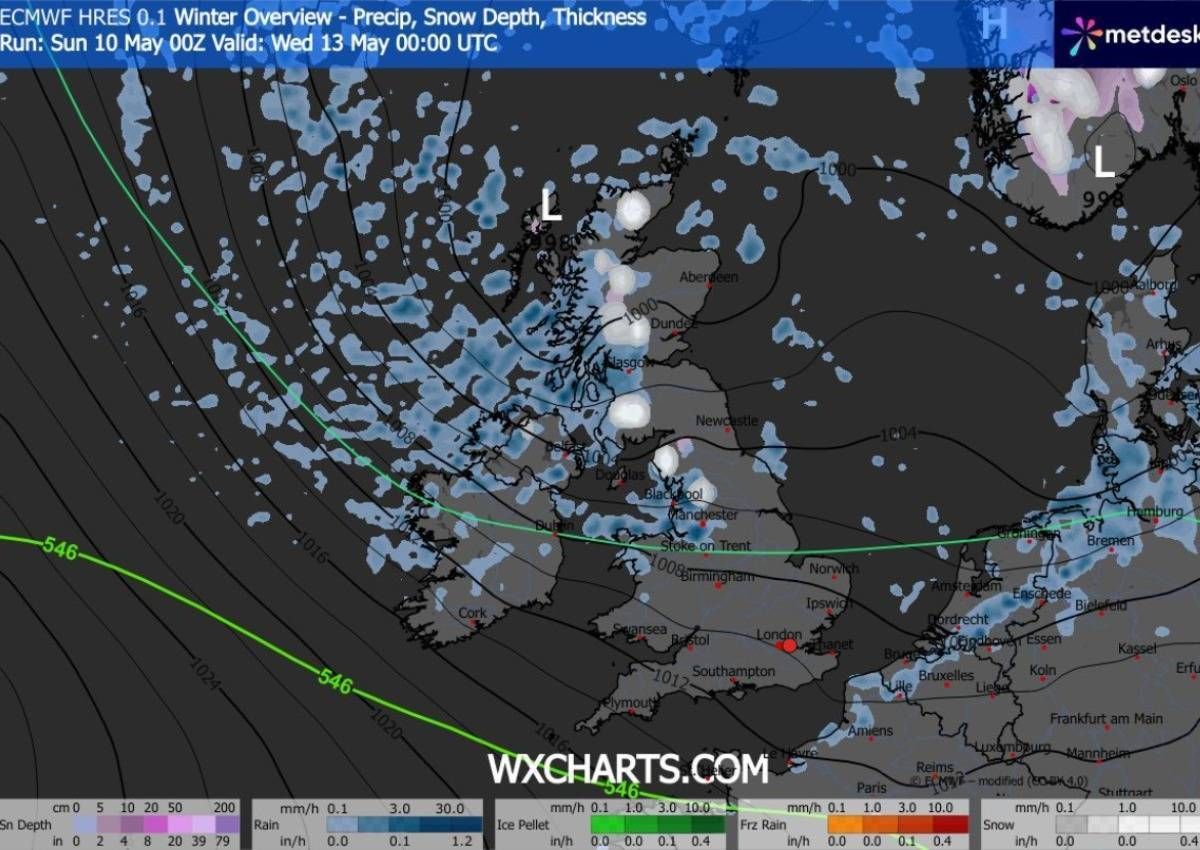
Snow could blanket large parts of eastern Scotland and some of England on Wednesday(Image: WXCHARTS)
Netweather.tv meteorologist Nick Finnis noted in his latest weather blog: “Later in the week, air will have originated from within the arctic circle, so it will feel distinctly chilly, particularly out of the sun, while snow is a possibility for Scottish mountains.
“There will be showers most days in the cool northerly or northwesterly flow, turning heavier from mid-week, when arctic air arrives, while at night there will be a risk of widespread frost as skies clear – particularly later in the week.
“Another weakening cold front will move southeast across the UK on Tuesday, reaching the southeast early evening, just a band of cloud with some patchy rain not amounting to much for most, very little rain when it reaches the southeast.”
Want to see more of the stories you love from Dublin Live? Making us your preferred source on Google means you’ll get more of our exclusives, top stories and must-read content straight away. To add Dublin Live as a preferred source, simply click here.
Join our Dublin Live breaking news service on WhatsApp. Click this link to receive your daily dose of Dublin Live content.
We also treat our community members to special offers, promotions, and adverts from us and our partners. If you don’t like our community, you can check out any time you like. If you’re curious, you can read our Privacy Notice