
Big change after sunny morning
09:09, 17 May 2026Updated 09:21, 17 May 2026
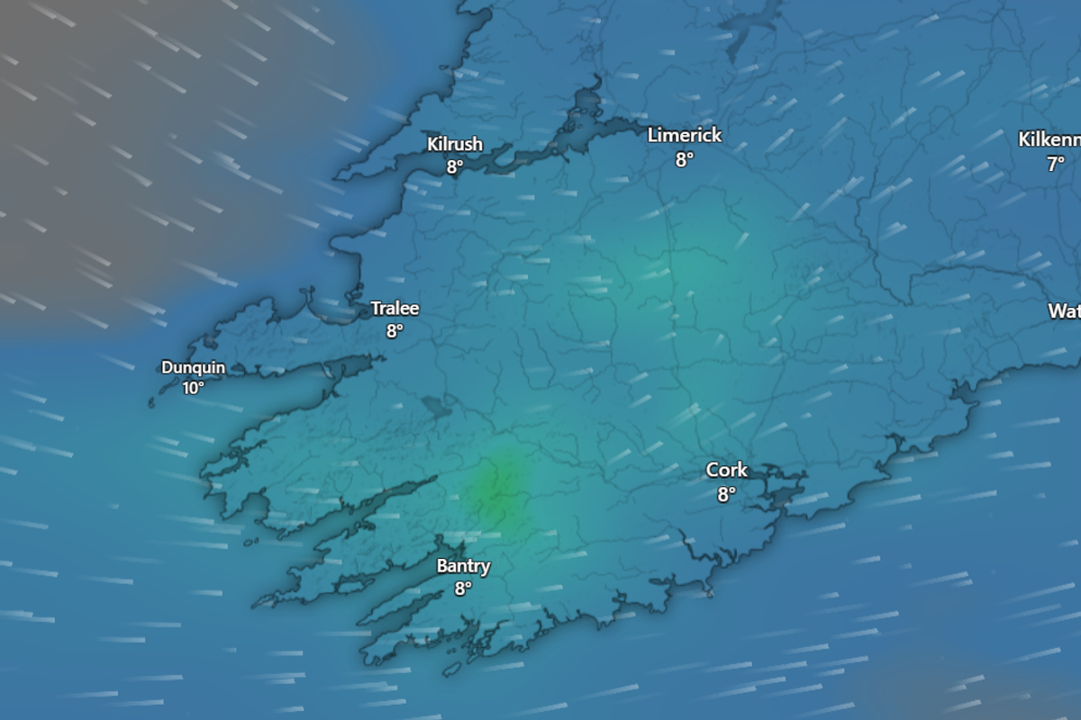
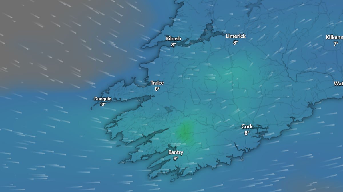
Weather models predict a washout for Munster later today(Image: Windy.com)
It’s a bright enough start to Sunday here in Cork – but don’t get your beach gear on just yet.
Met Éireann has warned that, despite the bright beginning to the day, we could be due thunder and hail later on, along with “heavy and persistent” rain. Temps will get up to 12 degrees this afternoon, and then showers will ease into the night – but tomorrow is likely to be similar story, with a bright (if misty) morning leading into a “dull and wet” afternoon.
Systems rolling in off the Atlantic will continue to unsettle our weather over the rest of the week, with fresh southwest winds and repeated outbreaks of rain and drizzle. It comes as temps across Europe are to set to rocket from below average to above average in the coming days:
Closer to home, weather models show rain striking Cork every day this week, so it’s time to put the umbrellas back to work – they never seem to catch a break.
You can read Met Éireann’s full forecast below:
TODAY – Sunday 17th May
Breezy today with widespread showers, turning heavy and persistent at times with the chance of thunderstorms and hail. Highest temperatures of 9 to 12 degrees with moderate to fresh west to southwest winds.
TONIGHT
Tonight, becoming dry for most with clear spells as showers ease early on. Staying cloudier further southwest as showers give way to outbreaks of rain and drizzle. Lowest temperatures of 2 to 6 degrees, mildest in the southwest, with patches of mist and fog forming in light westerly or variable breezes.
TOMORROW – Monday 18th May
A dry and bright start for most tomorrow, with patches of mist and fog in places. Turning dull and wet as rain in the southwest becomes widespread through the morning, turning heavy in places. Highest temperatures of 11 to 13 degrees in moderate to fresh south to southeast winds.
National Outlook
Overview: Continuing unsettled with rain or showers but gradually becoming milder in a southwesterly airflow. Monday night: Wet with widespread outbreaks of rain gradually clearing northeastwards. Scattered showers will follow from the southwest, turning heavy at times. Milder than previous nights with temperatures not falling below 8 to 11 degrees in a light to moderate southerly breeze. Tuesday: Cloudy for most with widespread showers turning heavy and persistent at times. Breezy too with a moderate, occasionally fresh, southwest wind, and highest temperatures of 11 to 15 degrees. Tuesday night: Continuing cloudy for most with showery outbreaks of rain. Lowest temperatures of 8 to 11 degrees in light to moderate southwesterly breezes. Wednesday: A mix of sunny spells and scattered light showers at first. Turning cloudier from the southwest through the day as showers ease. Highest temperatures of 13 to 17 degrees in moderate, occasionally fresh southwesterly winds. Thursday: A dull day for most with scattered outbreaks of rain and drizzle. Some mist and hill fog forming too. Highest temperatures of 14 to 18 or 19 degrees in mostly moderate southerly winds. Further outlook: There is uncertainty in the details but further rain and showers are likely on Friday.