
Ireland’s weather is set to take a dramatic turn for the better, with Met Eireann forecasting temperatures expected to climb steadily over the coming days before potentially reaching the mid-20s next week
16:26, 19 May 2026Updated 16:33, 19 May 2026

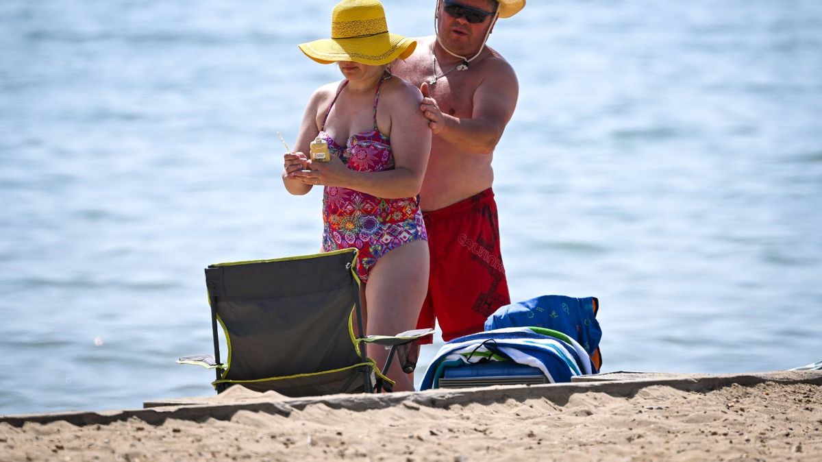
Temperatures are set to climb in the coming days(Image: Getty Images)
Following what seems like a never-ending period of overcast conditions, cold weather and rainfall, Ireland’s climate is finally set to shift dramatically for the better.
Recent predictions from Met Éireann have ignited increasing optimism that the nation could shortly witness its hottest period of 2026 to date, with temperatures anticipated to rise gradually throughout the forthcoming days before potentially hitting the mid-20s next week.
The positive developments continue, as extended-range weather projections indicate that stable conditions could feasibly persist well into June.
The national weather service states high pressure is due to develop near Ireland towards the end of this week. Throughout summer months, high pressure typically brings warmer, sunnier and drier conditions – a refreshing contrast to the chilly, wet and changeable weather frequently delivered by low pressure systems.
Based on Met Éireann’s outlook, temperatures will start climbing markedly from Thursday, with peaks of 19C anticipated before advancing further to approximately 20C on Friday, Saturday and Sunday, reports the Irish Mirror.
Nevertheless, next week is when conditions begin to appear particularly promising. The meteorological authority stated: “Temperatures will continue to rise into next week, possibly reaching the mid-twenties at times, with some good sunshine, but also some showers or spells of rain.” While it might be premature to confirm whether Ireland will officially witness its first genuine heatwave of 2026, the most recent forecast has sparked optimism for the hottest and longest period of sunny weather experienced thus far this year.
Heatwaves are commonly characterised as five days of successive above average temperatures, but Met Éireann previously explained to the Irish Mirror: “That is a working definition used by some other met offices, but the Met Eireann definition of a heatwave is five consecutive days of temperatures above 25C.”
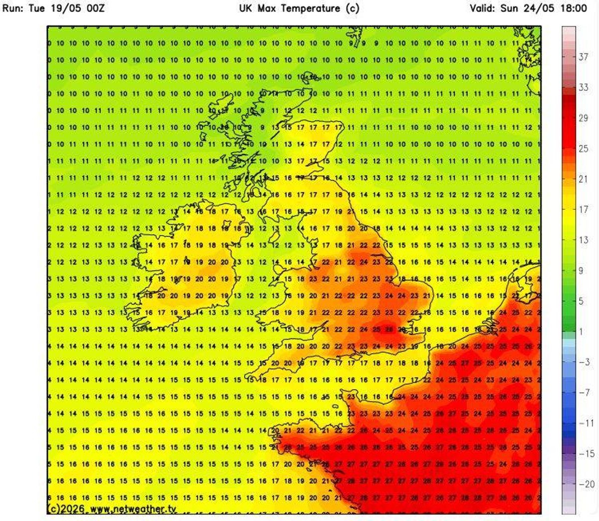
Warmer weather is on the way(Image: Netweather.tv)
This means Ireland would require a minimum of five continuous days with temperatures surpassing 25C to formally meet the criteria for a heatwave.
And there are growing indications that the enhanced weather conditions may prove more than fleeting. In a promising update for those yearning for a genuine beginning to summer, Met Éireann’s extended range forecast suggests that high pressure could control Ireland’s weather over the coming four weeks.
This could deliver warmer than average temperatures across the country alongside below average rainfall and considerably more stable conditions.
For the timeframe covering May 25 to May 31, Met Éireann stated: “High pressure will dominate our weather during week 1, bringing settled conditions with largely dry weather and sunshine. It will be warmer than average nationwide with rainfall amounts below average for all areas also.” Looking towards the opening week of June, it continued: “Current indications suggest that high pressure will remain the dominant driver of our weather during week 2. Settled conditions will continue as a result with warmer and drier than average conditions nationwide.”
For the week starting June 8, the national weather service explained: “Uncertainty increases in week 3 but current indications suggest that high pressure will remain nearby with generally settled conditions. It will stay warmer than average nationwide. While some showers or spells of rain cannot be ruled out, rainfall amounts will remain below average across the country.”
And for the timeframe spanning June 15 to June 21, Met Éireann noted: “Confidence is low in week 4 but there is a signal for continued high pressure and settled weather across Ireland. There may be some spells of rain or showers but rainfall amounts will be close to or slightly below average. Temperatures will stay above normal.”
Want to see more of the stories you love from Dublin Live? Making us your preferred source on Google means you’ll get more of our exclusives, top stories and must-read content straight away. To add Dublin Live as a preferred source, simply click here.
Join our Dublin Live breaking news service on WhatsApp. Click this link to receive your daily dose of Dublin Live content.
We also treat our community members to special offers, promotions, and adverts from us and our partners. If you don’t like our community, you can check out any time you like. If you’re curious, you can read our Privacy Notice.