
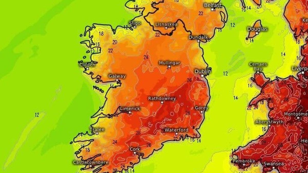
Follow this live temperature tracker to see where will be warmest over the coming days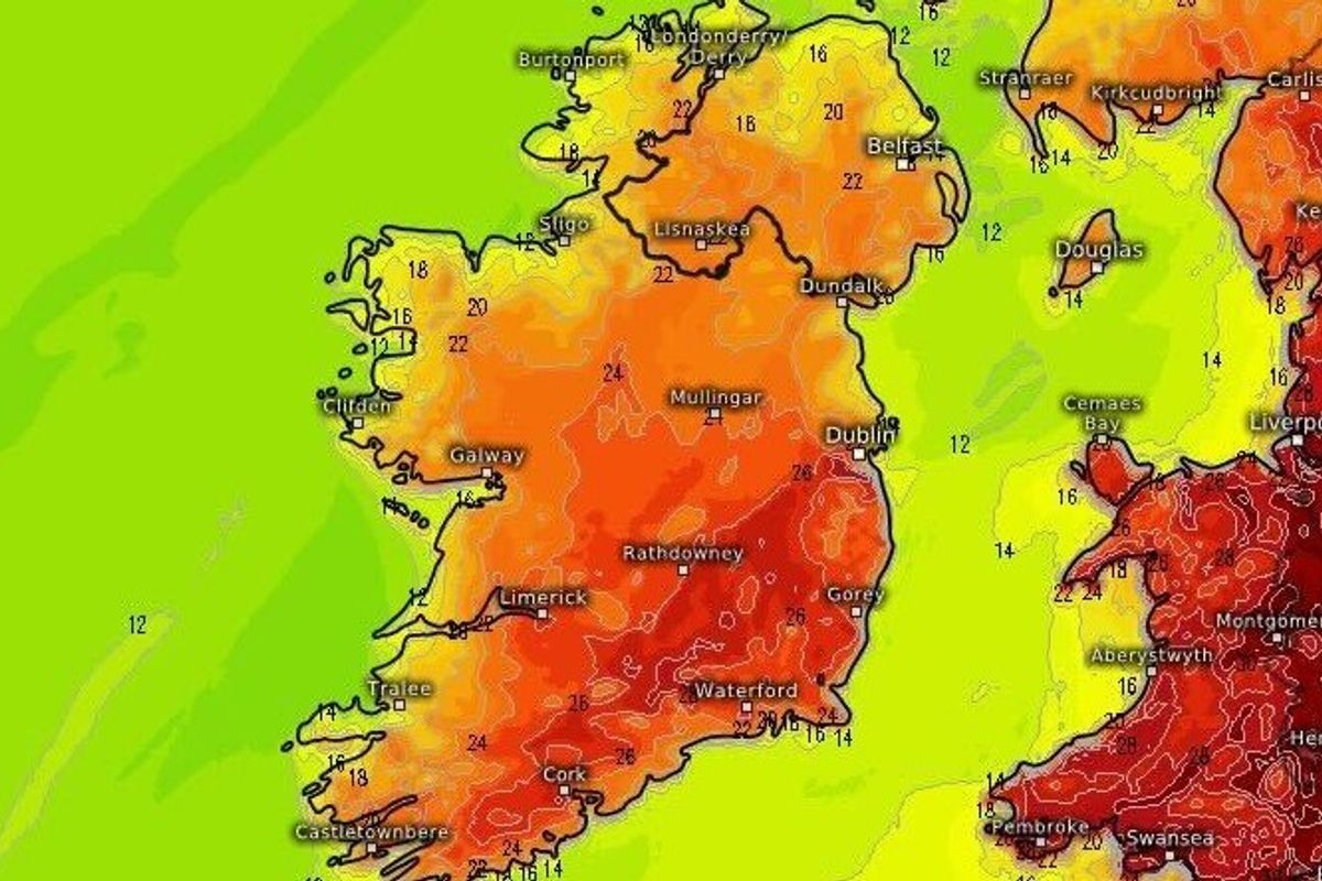
Highs of 27C forecast
This weekend has seen the first hint of summer arrive across Ireland and the warm and dry weather is set to continue into next week, with highs of 27C possible across multiple days.
Munster is set to enjoy the most consistently hot weather during the welcome heat blast that has come about due to a spell of high pressure reaching Ireland.
According to Met Eireann, the weather is set to take a turn for the worse as next week progresses, with the Bank Holiday weekend set for far less pleasant conditions as showers and rain return.
Clotheslines are being kept busy today as temperatures have soared to 24C but it’s set to get even warmer over the coming days.
Tonight will remain dry and clear but some cloud is possible in the northwest as patches of mist and fog develop overnight. These will clear by tomorrow morning, Monday May 25, however.
Tomorrow could be something of a scorcher with temperatures ranging between 22C and 27C, as Munster and Leinster enjoy the best of the heat.
You can follow our live temperature tracker below for the days ahead
Tuesday will be a similar day, with highs of 27C forecast and Munster will again get the best of the summer blast.
Wednesday will see a slight turn in conditions as some showers will develop in the southwest but otherwise it will continue to be dry and warm with plenty of sunshine and highs of 26C.
Temperatures will begin to drop on Thursday but there will still be some warm, sunny spells.
Into the Bank Holiday weekend, we’re looking at the return of cooler conditions and the start of June will also see more rain and showery conditions affecting many areas.
Subscribe to our newsletter for the latest news from the Irish Mirror direct to your inbox: Sign up here.