
Met Eireann has been issuing alerts across the country, with the risk of thunderstorms, heavy downpours and potential flooding and lightning damage following Ireland’s record-breaking heat
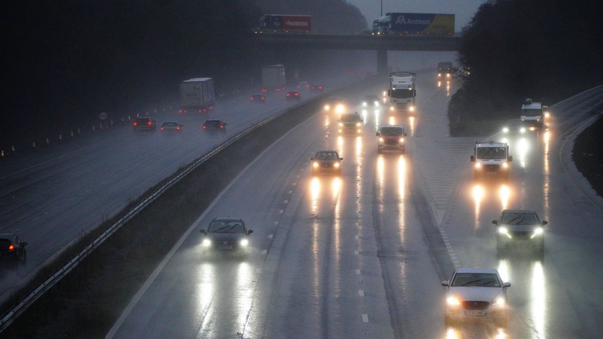
Many motorists will be experiencing heavy rain from Storm Claudia (stock)(Image: Ben Birchall/PA Wire)
Ireland’s spell of summery conditions is set to shift sharply, with forecasters predicting thunderstorms and torrential rain following the record-shattering temperatures.
Met Éireann has cautioned that unsettled weather patterns are starting to arrive after the country saw its warmest May day on record this Tuesday.
Shannon Airport in Co Clare clocked a blistering 30.6C, obliterating the previous May temperature benchmark of 28.4C, which was recorded in Co Kerry on 31 May 1997.
Numerous other locations across the nation also approached the 30C threshold. Oak Park in Carlow and Gurteen in Tipperary both hit 29.7C, while Athenry in Galway rose to 28.7C.
A Status Yellow high temperature alert continues until 6pm for Clare, Kerry, Limerick, Tipperary, Galway, Kilkenny, Laois and Offaly, where temperatures are anticipated to stay unusually elevated, reports the Irish Mirror.
However, Met Éireann warns the warmth is now on course to meet cooler, unstable air masses – generating ideal circumstances for thunderstorms.
The national weather service has been carefully tracking thunderstorm development throughout the day and has released several weather alerts for the most vulnerable counties.
A Status Orange thunderstorm warning was put in place for Cork until 4pm, cautioning of extensive thunderstorms travelling northwards from southern regions. The notice read: “Potential for severe lightning and hail damage, slippy roads, impaired visibility and spot flooding.” Meanwhile, a Status Yellow thunderstorm warning remains in place until 7pm for Cork, Kerry, Limerick, Tipperary, Waterford, Kilkenny and Wexford.
Met Éireann cautioned: “Scattered thunderstorms moving up from the south today. Potential for lightning and hail damage, slippy roads and impaired visibility where showers hit.”
The thunderstorms are expected to persist into this evening. The national forecaster stated: “Very warm or hot today with highest temperatures of 22C to 30C , hottest in the midwest and west, and cooler for eastern coasts in a moderate easterly breeze. Sunny for most this evening. However, scattered thunderstorms will affect Munster and south Leinster, with locally gusty winds. Where these occur, there is potential for severe lightning and some hail.
“Some thunderstorms will continue for a time early tonight. Otherwise, dry tonight with clear spells early on. Cloud, mist and drizzle, along with some fog will develop across the southern half of the country by morning. Mild with temperatures falling no lower than 11C to 16C, in light east to southeast breezes.”
You can monitor precisely where and when thunderstorms are due to strike, including lightning ‘hotspots’, by utilising Windy’s interactive tracker below.
Casting an eye towards the June bank holiday weekend, the current settled spell is anticipated to break down, as cooler and more unsettled conditions move in from the west. Providing a detailed daily forecast, Met Éireann stated: “Some sunny spells in the north and east on Thursday where it will remain dry and very warm. Elsewhere will be somewhat cooler and duller, with patchy drizzle and mist. Highest temperatures of 17C to 24C in light to moderate south to southwest winds, fresher along Atlantic coasts.
“Any lingering patchy rain and drizzle in the north and west will clear away Friday morning to leave a largely dry with plenty of sunshine and just isolated light showers. Highest temperatures of 17C to 22C or 23C , warmest for Leinster, in light to moderate southwesterly winds, fresh at times in the north in the morning.
“After a largely dry start Saturday with sunny spells, rain will spread eastwards over the country through the morning and afternoon, turning heavy at times, especially in the north later with the chance of isolated thunderstorms. A clearance to sunny spells and scattered showers will follow for the western half of the country through the evening. Highest temperatures ranging from 15C in the west to 22C in the east in moderate south or southwest winds.
“A mix of cloud, sunny spells and scattered showers Sunday, becoming more isolated later in the afternoon and evening. Highest temperatures of 15C to 19C generally but reaching 20C or 21C in parts of the east, all in light to moderate westerly winds.
“A cloudy and wet start to bank holiday Monday with showery outbreaks of rain, turning heavy at times. Sunny spells and scattered showers will follow from the west later. Highest temperatures of 16C to 21C in moderate south or southwest winds.”
Want to see more of the stories you love from Dublin Live? Making us your preferred source on Google means you’ll get more of our exclusives, top stories and must-read content straight away. To add Dublin Live as a preferred source, simply click here.
Join our Dublin Live breaking news service on WhatsApp. Click this link to receive your daily dose of Dublin Live content.
We also treat our community members to special offers, promotions, and adverts from us and our partners. If you don’t like our community, you can check out any time you like. If you’re curious, you can read our Privacy Notice .