
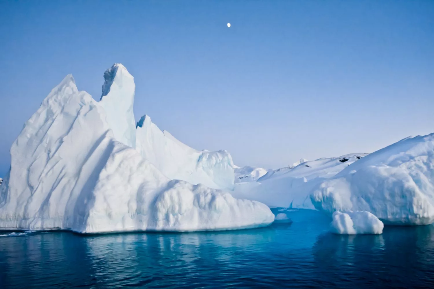
Right at the southernmost edge of our globe, where the ocean meets massive ice cliffs, lies the so-called marginal ice zone (MIZ), as scientists know it. It is the region of sea ice that is strongly influenced by open-ocean processes, particularly ocean waves.
Scientists have long sought to pinpoint the location of this “outer edge” of sea ice. Traditionally, they used satellite-derived sea-ice concentration maps, divided into constant thresholds, to define it.
Although such maps have been informative, they lack the key feature of the MIZ: waves. In the absence of waves, the MIZ is little more than a cartographic membrane; in their presence, it transforms into a physical–climatic interface.
Early studies using laser altimetry confirmed that waves penetrated the ice, but such measurements were limited by frequent cloud cover.
Antarctica’s ancient ice holds secrets to Earth’s climate past
Researchers have now developed a new technique to measure, for the first time, the true extent of an understudied and crucial region of the Antarctic sea-ice system. Their technique is based on more advanced radar altimetry, specifically Ka-band radar altimeter data (obtained over the last decade, between 2013 and 2024), which can penetrate this atmospheric veil to obtain observations of this vital yet little-explored area of the Antarctic sea-ice system.
This development has produced the first climatological description over 10 years for the wave-affected MIZ, with a definition constrained by the physically based processes responsible.
The wave-influenced MIZ makes up about 16% of the Antarctic sea-ice zone. This area is a large part of the ocean where ice and waves continually interact. However, it does not spread evenly throughout the space.
The MIZ changes with the seasons, expanding and contracting based on local conditions. Its size is also greatly influenced by the position of the ice edge relative to true north. In simple terms, the angle at which waves hit the ice plays a key role in determining how wide the MIZ is.
This climatology describes the Antarctic MIZ as a varied mix instead of just an ice-edge ridge. In certain areas, waves reach far into the ice, creating a wider MIZ. In other instances, the ice blocks wave access, resulting in a narrower boundary. Wave-affected MIZ surface widths average 35-180 km.
These widths change with the seasons and longitude. Seasonal cycles also affect this pattern. During winter, the large sea ice cover shrinks the MIZ. In summer, when the sea ice retreats, more of the MIZ is exposed to incoming waves.
This nuanced picture challenges old assumptions. This shows that the MIZ is not a passive margin but rather an active system forced by geography, seasonal change, and wave directionality.
Lead author Dr. Alex Fraser, from the Australian Antarctic Program Partnership, said, “Traditionally, the MIZ has been defined as the region with sea-ice concentration between the arbitrary thresholds of 15% and 80%, as seen by satellites. However, sea-ice concentration has nothing to do with the actual MIZ definition from the World Meteorological Organization (WMO): ‘the region of ice cover which is affected by waves and swell penetrating the ice from the open ocean.”
“The wave action makes the MIZ a highly dynamic region of intensive ocean-ice-atmosphere interaction, but before our study, we didn’t really know how the Antarctic MIZ varies seasonally in space and time.”
Antarctica’s Biodiversity at Risk Amid Research Gaps
Why does this matter? As the MIZ is a crucial part of Earth’s climate system, it regulates sea ice break-up, controls heat and carbon exchange between the ocean and atmosphere, and supports ecosystems at the ice edge. Measuring the width of the MIZ and its impact could help model how Antarctic sea ice responds to a changing climate.
Dr. Fraser said, “That’s important because when sea ice isn’t affected by waves, it forms a more complete ‘cap’ on the ocean, limiting the exchange of heat, moisture, and gases (e.g., carbon dioxide) with the atmosphere. When waves jostle the ice and break it up, gaps between ice floes allow these exchanges to increase.”
“The MIZ is also important for shielding inner-pack ice, fast ice, and ice shelves from waves, and for sustaining marine life when meltwater at the retreating ice edge supports strong phytoplankton blooms that feed krill and, in turn, penguins, seals, and whales.”
The methodology allows extending the MIZ record by at least decades earlier than previous datasets, up to a few decades before its satellite coverage, by improving radar altimetry. This retrospective capability provides a decadal-scale record of wave-ice coupling, which could help determine whether increasingly strong Southern Ocean storms are pushing back the ice edge more forcefully than during previous epochs, with implications for future Antarctic climate.
Co-author Dr. Noah Day from the School of Mathematics and Statistics at the University of Melbourne tested the satellite data in the study against a wave-ice model.
“Pan-Antarctic daily averaged satellite observations showed strong agreement with the wave-ice model predictions, with a very high correlation (R2 = 0.85, meaning the model explains 85% of the variance in the data).”
“The modeling showed that relatively simple wave–ice physics can accurately capture the seasonal evolution of MIZ width, suggesting that incoming wave conditions primarily control large-scale MIZ variability.”
“The seasonal cycle identified in this study differs from traditional concentration-based definitions, which often predict the widest MIZ during summer. The strong agreement between observations and wave–ice models is also encouraging for future studies investigating the role of the MIZ in the Southern Ocean and climate system,” said Dr. Day.
The marginal ice zone may seem like a small section of the ocean, but it is actually of great importance to our planet. This is where the ocean’s energy interacts with the delicate cryosphere. Climate change will first show its effects here.
This new climatology over the past decade is not just a dataset; it’s a glimpse into the living edge of Antarctica. It shows the MIZ to be a dynamic, intricate, wave-regulated region occupying one-sixth of the sea-ice zone–a cautionary tale that at the edges of our planet, the ocean never stops moving.
For Dr. Klaus Meiners, a sea-ice scientist at the Australian Antarctic Division, the study provides key context for planning a voyage to the Marginal Ice Zone in East Antarctica aboard Australia’s national icebreaker, RSV Nuyina, in 2028.
“Now we have the first fine-scale decade-long observations of seasonal MIZ width around Antarctica, we basically know where to steer the ship,” he said. “During the voyage, we plan to employ real-time satellite data analyses using the new methods developed in this study, which will help to guide and adapt our sampling efforts to changing oceanic conditions.”
“Understanding the key drivers of the Antarctic MIZ width, in particular the influence of different swell directions on MIZ width, helps us to develop the best survey design for our fieldwork off East Antarctica.”
Journal Reference:
Alexander D. Fraser et al, Revealing the Antarctic marginal ice zone with a decade-long wave-in-ice climatology, Nature Communications (2026). DOI: 10.1038/s41467-026-73203-z