

Met Eireann has warned that a mobile Atlantic regime will bring a continuation of unsettled weather, but it seems we don’t have too long to wait until the return of dry and sunny conditions
While the country has endured a miserable start to summer, it seems the return of dry and sunny conditions could be on he horizon
Ireland is set for a wet and windy weekend as the miserable weather conditions which have soaked the country this week look set to continue.
Meteorological summer officially began in Ireland on June 1, but after a grand and sunny start to the month over the Bank Holiday last weekend, the country has had to endure some damp and dull weather as wet and windy conditions dominated this week.
After enjoying record-breaking warmth in May, we have had to contend with more typical Irish summer weather in recent days, with Met Eireann issuing a weather warning on Friday as torrential downpours lashed the country.
While the rain is set to continue across the weekend and into next week, a leading meteorologist has suggested that mini-heatwave conditions could be set for a major comeback within days.
According to Cathal Nolan, climate scientist and founder of Ireland’s Weather Channel, current weather models forecast the return of ‘summer-like conditions’ towards the end of next week, with temperatures expected to climb from next Wednesday (June 10) onwards.

A period of ‘nice and settled’ conditions is on the way after Ireland was lashed by downpours and gale-force winds across the weekend
Looking ahead to the this weekend’s forecast, Cathal warned that it’s a mixed bag for hurling fans attending the Leinster final in Dublin on Saturday evening, and those heading to the Munster final in Cork on Sunday.
“This area of low pressure will bring heavy rain on Friday evening, Friday and indeed into Saturday as well,” he said.
“That will fizzle itself out by the evening so pretty okay conditions I’m hoping for the Leinster Hurling Final up in Croke Park if you are attending that game.”
Discussing a band of low pressure moving in from the south of the country this weekend, Cathal warned: “And on Sunday, this feature could cause us some headaches down here. It is likely to bring outbreaks of rain, sometimes heavy and persistent, into Pairc Ui Chaoimh for the all important Munster Hurling Final between Cork and Limerick.”
However, while the miserable looks set to continue into next, Cathal set their are ‘tentative signs’ that Ireland will soon be basking in dry and sunny conditions once again in the not too distant future.
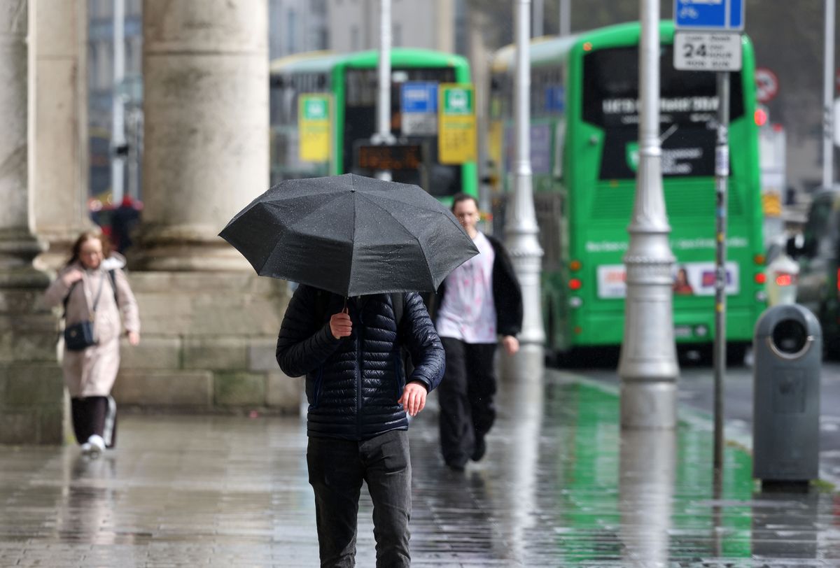
Heavy rain is forecast for this weekend(Image: Collins Photo Agency)
He said: “Into next week, it looks quite mixed to begin with but there are tentative signs of more settled conditions as we get towards the 10th, 11th, 12th of June, in or around that window, with perhaps some summer-like conditions returning.”
But before we can look forward to soaking up the sun once again, Met Eireann has warned that “a mobile Atlantic regime will bring a continuation of unsettled weather with rain or showers each day”, while “temperatures will be cooler than average for the time of year.”
You can check out Met Eireann’s weekend weather forecast in full below:
Met Eireann National Outlook
Saturday (June 6): A wet and dull start this morning with widespread rain, drizzle and fog. The rain will gradually clear to the northeast, lingering over Ulster and Leinster for a time. A clearance will develop from the west later today with scattered showers and sunny spells breaking through. Highest temperatures of 12C to 16C, coolest in the north, in moderate to fresh westerly winds, strong along Atlantic coasts.
Tonight: Tonight will be quite cloudy across the country with scattered outbreaks of rain and drizzle. Parts of the east and south will remain mostly dry with the occasional clear spell. Lowest temperatures of 8C to 12C, cooler in the north, in moderate southerly winds, fresh to stronger along Atlantic coasts.
Sunday (June 7): Another cloudy day in store with outbreaks of rain moving in from the west and becoming widespread and persistent, occasionally falling heavy. Brighter conditions will follow later Sunday afternoon with sunshine and showers developing over the west and northwest, and slowly extending eastwards. Highest temperatures of 13 to 18 degrees in moderate to fresh southwest winds.
Sunday night: A mix of clear spells and showers over the west and north, heavy at times, with cloudier conditions further east where outbreaks of rain and drizzle will linger for a time early in the night before clearing out over the Irish Sea. Lowest temperatures of 7 to 10 degrees in moderate southwest to west winds.
Monday (June 8): A bright start to the week on Monday with sunshine and showers, occasionally falling heavy. Towards the evening cloud will start to increase from the west with spells of rain and drizzle. Highest temperatures of 12C to 15C in moderate west to southwest winds, fresh along west coasts
Subscribe to our newsletter for the latest news from the Irish Mirror direct to your inbox: Sign up here.