
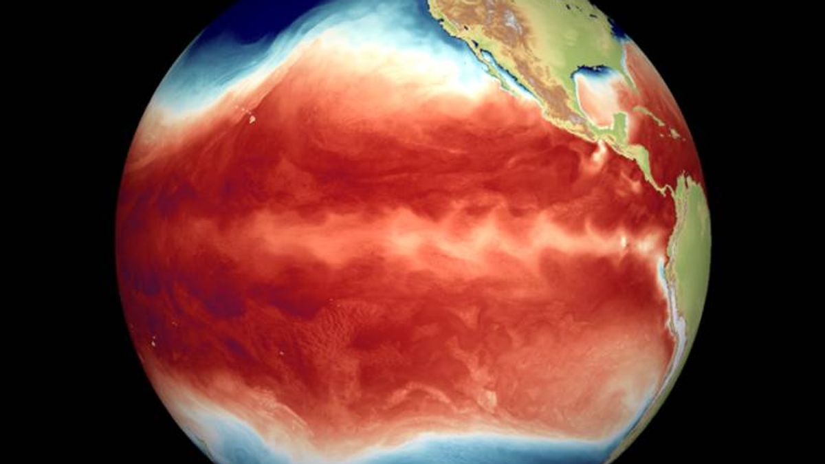
A ‘historically strong’ Super El Niño weather event may see Irish temperatures rise and cause disruption to regular weather patterns, Met Éireann warns
12:56, 06 Jun 2026Updated 13:02, 06 Jun 2026
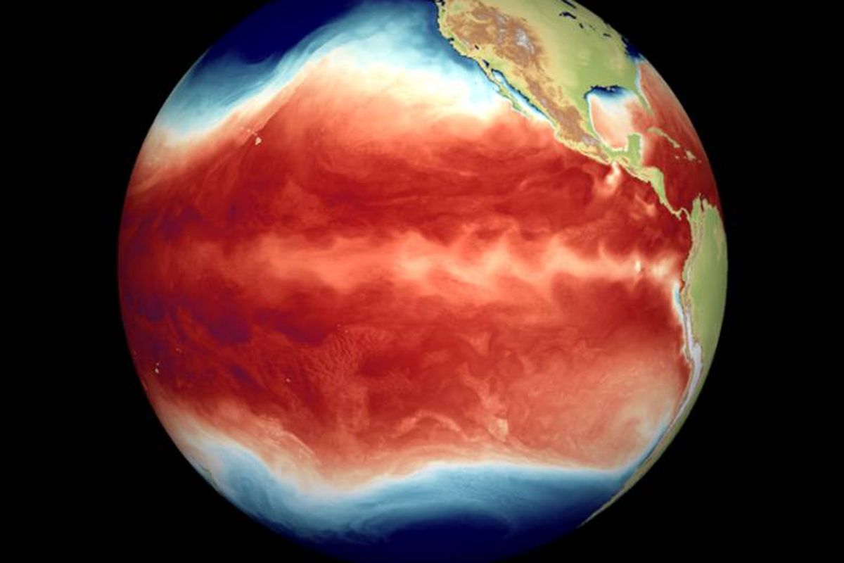
A snapshot of eastern Pacific sea surface temperatures, showing temperature pattern for a typical La Niña event
A ‘historically powerful’ El Niño weather phenomenon could result in rising Irish temperatures and some interference with typical weather conditions.
El Niño refers to warm surface waters in the Eastern tropical Pacific that were first observed in the disruption of fish stocks for Peruvian fishermen several centuries ago.
The name comes from the Spanish word for ‘boy’, with the opposite phenomenon, i.e. cold and nutrient rich waters upwelling to the surface of the Eastern tropical Pacific, known as La Niña, the Spanish for ‘girl’.
The El Niño occurrence is the shift between warm Eastern tropical Pacific sea surface temperature circumstances (El Niño) and cold Eastern tropical Pacific sea surface temperature circumstances (La Niña), according to Met Éireann.
This natural variation between the two states affects weather and climate across the globe. Nevertheless, its effects on Ireland have been forecast to be modest, though not negligible, reports Dublin Live.
The El Niño phenomenon has been predicted to have a big impact on the world’s weather over the coming months
“There has been much talk about the coming El Niño weather event this summer and through the next 12 months and the possible ramifications for our weather,” reports Cathal Nolan of Ireland’s Weather Channel.
“While El Niño does have a major impact on global weather patterns typically the impacts are more subtle across Ireland, the UK and Europe as a whole. However, given the strength of the forthcoming event, perhaps reaching historically high levels, there is a greater chance of disruption to our own weather.
“To emphasise this, the June update from the ECMWF in red lines, is compared with the May update and it’s very clear we can see a growing risk of a major El Niño. The latest trend would almost certainly see this coming El Niño breach into a Super El Niño (+2 degrees Celsius with the trend heading for +3).”
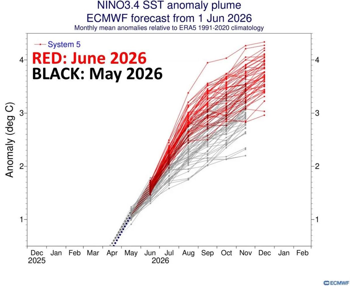
The June update from the ECMWF in red lines, is compared with the May update which shows the growing risk of a major El Niño
Met Éireann also predicts that the currently developing strong El Niño has the potential, together with the underlying global warming trend, to lead to “record high global mean temperatures” in the second half of 2026 and in 2027, and to extreme weather events” said Met Éireann.
“The global mean temperature tends to be higher than average under El Niño conditions, usually with a time lag of several months,” the national forecaster said.
“The currently developing strong El Niño has the potential, together with the underlying global warming trend, to lead to record high global mean temperatures in the second half of 2026 and in 2027, and to extreme weather events.
“While El Niño has clear impacts on many regions worldwide through teleconnections (for example affecting monsoon systems), its influence on Ireland and Europe is comparatively weak, highly variable, and not robust in the present-day climate.”
Met Eireann added: “The global seasonal climate update of the World Meteorological Organization for this summer points in the same direction, i.e. no clear evidence of increased warming in Ireland due specifically to El Niño.
“In a future warmer climate, El Niño may have a greater influence on Irish and European climate according to recent studies, but that would only materialise in the second half of this century under higher greenhouse gas scenarios.”
Subscribe to our newsletter for the latest news from the Irish Mirror direct to your inbox: Sign up here.