
If you’re dying to have a BBQ – aim for Sunday
07:27, 09 Jun 2026Updated 10:26, 10 Jun 2026

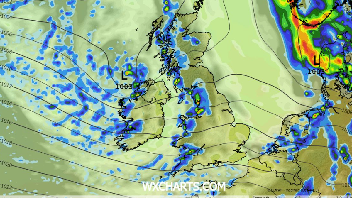
Showers later this evening(Image: WXCharts
)
First, the good news – we can expect some hot, dry and sunny weather by the weekend with daytime highs jumping by as much as 10C.
Sunday looks like being a very warm and dry day across Ireland, with Met Éireann saying we will get the best of the weather in Munster. If you are going to be in West Cork, then you can look forward to some very fine conditions indeed (at least that’s the plan, as West Cork regulars will know, the place often has it’s own ideas different to Met Eireann).
However, the return to proper June summer weather could be very brief as the longer range forecast is warning of yet another plunge into very unsettled, cold weather again on Monday, with daytime temps dropping by as much as 10C to the 14C range again.
But at least this week is set to get warmer and dryer was we move towards the weekend with the south west coast set to see the best of any sunshine that is around over Ireland over the coming days.
TODAY – Tuesday 9th June
Today will bring sunshine and showers across Munster, some heavy with a chance of hail and isolated thunderstorms. Cool for this time of year with highest temperatures of 12 to 16 degrees and moderate to fresh, gusty westerly winds.
TONIGHT
Clear spells and showers tonight, the showers heaviest and most frequent over the western half of the region. Chilly with lowest temperatures of 4 to 9 degrees, and light southwesterly breezes.
TOMORROW – Wednesday 10th June
Wednesday will be bright with sunny spells and scattered showers, which will gradually die out by late afternoon. Cloud will increase from the west through the evening. Highest temperatures of 13 to 16 degrees with moderate westerly winds.
National Outlook
Overview: continuing unsettled with rain or showers, but becoming warmer and drier over the weekend.
On Wednesday night, rain will develop in the west and spread eastwards across the country, heavy at times. Lowest temperatures of 7 to 10 degrees, with light westerly winds backing southerly and increasing moderate to fresh.
Thursday will start off wet with widespread rain, which will clear eastwards by early afternoon. The rest of the day will be mostly cloudy with outbreaks of showery rain. Some brighter intervals will develop too. It will be milder than previous days with highest temperatures of 14 to 18 degrees, and with moderate to fresh southerly winds veering west to southwest as rain clears.
Thursday night will be mild and mostly cloudy with outbreaks of rain and drizzle. Lowest temperatures of 10 to 14 degrees with moderate southwest winds.
Friday will be mostly cloudy with a fair amount of dry weather and some patchy rain and drizzle. Highest temperatures of 15 degrees in the northwest to 20 degrees in the southeast, with moderate to fresh southwest to west winds.
Saturday will start off mostly cloudy in Ulster with patchy rain or drizzle in places. Brighter weather further south will extend to all areas in the afternoon. It will be a noticeably warmer day with highest temperatures of 17 to 21 degrees in Connacht and Ulster and reaching between 22 and 25 degrees in Leinster and Munster with light to moderate southwest breezes.
Sunday will be warm and mainly dry. Patchy rain or drizzle may develop in the west and northwest. Highest temperatures of 18 to 24 degrees with light southerly breezes, warmest in Leinster and Munster.
At the moment it looks like there will be some rain at times early next week with temperatures dropping back to the mid to high teens.