
A prolonged period of warm, settled weather may be on the way thanks to an area of high pressure moving in, early forecasts indicate, with high temperatures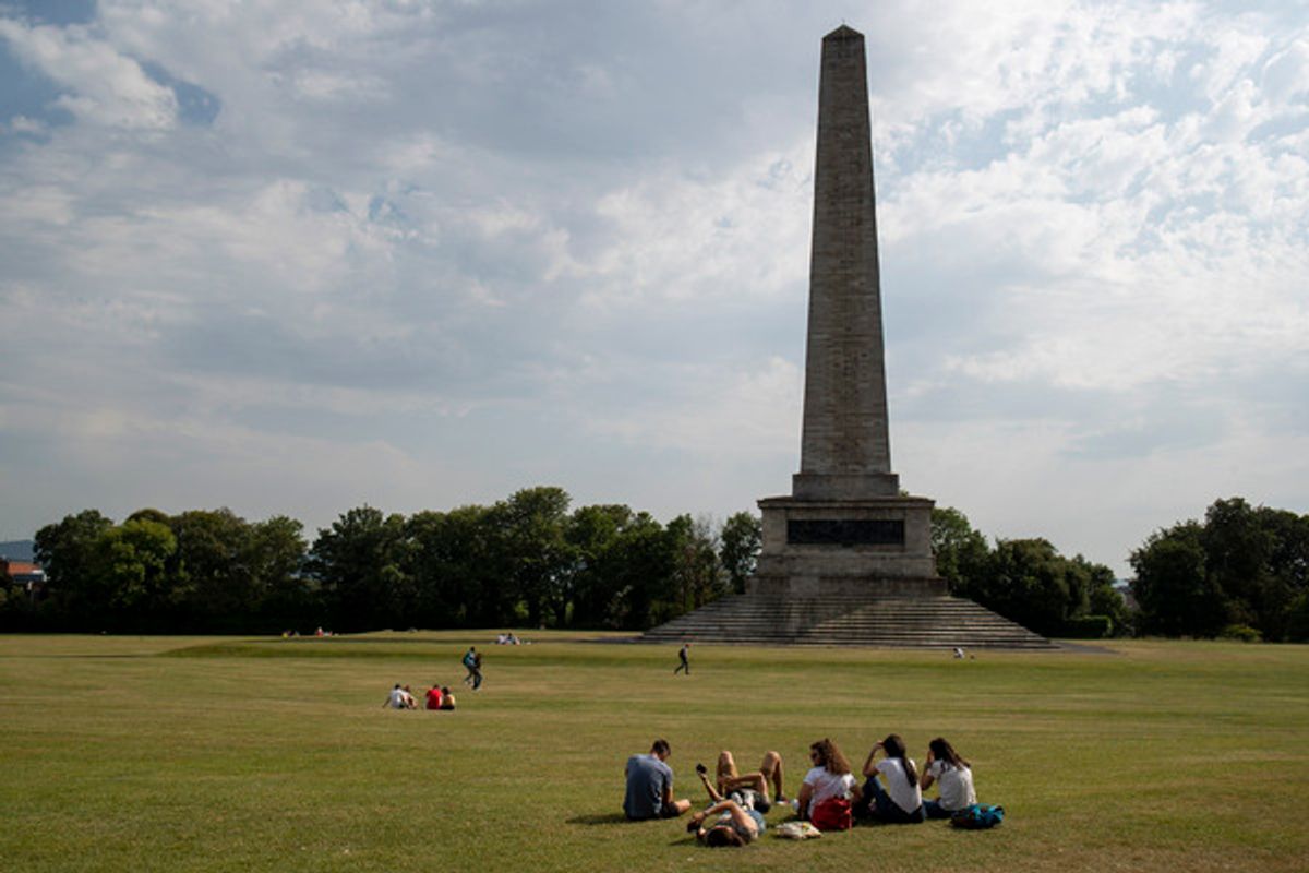
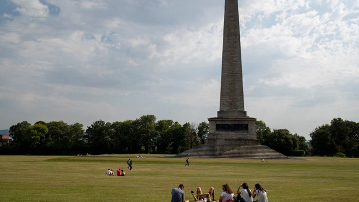
Phoenix Park(Image: Conor Ó Mearáin / Collins Photos)
Ireland enjoyed a burst of sunshine over the weekend, and it may be a sign of things to come.
While this week is predicted to be unsettled, one forecaster believes that there is a “growing signal” that “heatwave conditions” might fall into place. While it is not certain, a prolonged spell of settled weather may define the end of June.
Cathal Nolan of Ireland’s Weather Channel predicts that an area of high pressure will arrive and bring heat and sunshine. Met Eireann predicts highest temperatures of 20 degrees towards the end of the week.
“Over the course of the working week to come, it is going to be unsettled. We will see plenty of rain especially in the south east of the country. Some heavy falls here, however. It is going to be a milder week this week than last week,” said Mr Nolan in a new forecast. “So that is the silver lining of the forecast for this coming week.”
“However, we’re more interested in the end of next week. Into next weekend and into the last week of June, it looks like this chart is going materialise. And what we’re looking at here is an area of high pressure situated directly across Ireland and the UK, and potentially feeding in some very warm air from the southeast of the country. So we’ll hear a lot of talk over the next little while about potential heat wave conditions.”
“It still is a week away so we need to temper our expectations just a little bit but there is a growing signal for a more prolonged spell of settled weather developing next weekend and into the final week of June and there is the possibility of some rather warm if not hot temperatures on the way as well.”
Here is Met Eireann’s forecast for the coming days:
Monday
Today will start dry with hazy sunshine before cloud builds from the west and southwest, bringing a few patches of light rain and drizzle. Sunny intervals will return to southwestern areas by evening, with highest temperatures ranging from 15 to 20 degrees in light winds. Tonight will bring a mix of cloud and clear breaks before cloudier conditions move in from the southwest, triggering patchy light rain, drizzle, and some coastal or hill fog with lowest temperatures of 10 to 14 degrees.
Tuesday
It will be a mostly cloudy day with limited sunshine. While early conditions will only bring patchy light rain, more persistent rain and drizzle will develop across Munster and Leinster during the afternoon and evening, alongside hill and coastal fog. Highest temperatures will reach 15 to 20 degrees, feeling warmest in the east. Overnight, eastern rain will clear into the Irish Sea, leaving a mix of cloud, clear spells, and isolated showers with lowest temperatures of 10 to 13 degrees.
Wednesday
Wednesday will be a breezy day featuring sunny spells and a good deal of dry weather, with only a few isolated showers expected. Highest temperatures will range from 16 to 20 degrees, warmest in the east and coolest in the west, under moderate to fresh southwesterly winds. Cloud will increase from the southwest tonight, bringing outbreaks of rain and drizzle as temperatures fall to between 10 and 13 degrees.
Thursday
A mostly cloudy day lies ahead with patchy outbreaks of rain and drizzle through the morning and afternoon. Heavier and more persistent rain will then spread from the south during the late afternoon and evening, continuing into the night. Highest temperatures will be between 15 and 20 degrees, remaining coolest in the west and warmest in the east, in moderate to fresh southerly winds.
Friday
Friday will have a mostly cloudy start with rain, which will gradually clear eastward through the course of the day. Brighter conditions with sunny spells and scattered showers will follow from the west, with highest temperatures reaching 15 to 19 degrees in moderate to fresh southwest to west winds.
Next weekend
Early indications suggest high pressure may bring more settled weather for the weekend, resulting in spells of dry and bright conditions. Temperatures are expected to stay in the mid to high teens on Saturday and rise a little bit higher by Sunday.
Want to see more of the stories you love from Dublin Live? Making us your preferred source on Google means you’ll get more of our exclusives, top stories and must-read content straight away. To add Dublin Live as a preferred source, simply click here.
Join our Dublin Live breaking news service on WhatsApp. Click this link to receive your daily dose of Dublin Live content.
We also treat our community members to special offers, promotions, and adverts from us and our partners. If you don’t like our community, you can check out any time you like. If you’re curious, you can read our Privacy Notice