
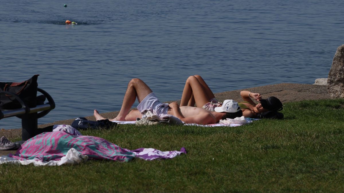
Met Éireann forecasters confirmed that the prolonged hot spells will continue for the week ahead, still reaching 28C on Thursday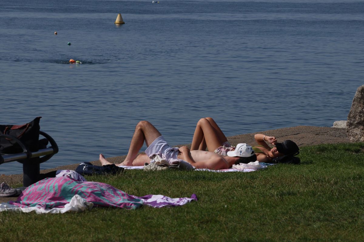
Members of the public enjoying the recent spell of good weather at the Forty Foot, Sandycove Co Dublin(Image: Stephen Collins/CollIns Photos)
Sunny weather is set to continue into next week, with temperatures expected to hit a scorching 30C in parts on Sunday – but heavy rain and thunderstorms are on the horizon.
Met Éireann forecasters confirmed that the prolonged hot spell will continue for the week ahead, with the mercury set to climb to 28C on Thursday.
While temperatures will widely reach the mid to high 20s by day, with tropical nights predicted, forecasters warned there is an increased chance of showers and thunderstorms developing later in the week.
Wednesday will see some heavy showers and isolated thunderstorms develop, most likely affecting parts of the south and west, with a higher chance of heavy showers and thunderstorms developing on Thursday.

A person jogs on Bull Wall in Dublin as the hot weather continues. (Image: Brian Lawless/PA Wire)
Thankfully, while there is a chance of showers later in the week, Alan O’Reilly from Carlow Weather said temperatures could reach up to 30°C on Sunday.
He wrote: “After a low of 11.6°C at my station it is already up to 21°C at 8:18am with another warm day ahead. That easterly breeze is picking up though and will keep temps back a little in the east while the west could see highest temperatures today, up to 29°C or even 30°C.”
Meanwhile, a Status Yellow – High Temperature warning has been issued for Clare, Cork, Kerry, Limerick, Tipperary, Galway, Mayo, Kilkenny, Laois, and Offaly. The warning will come into effect at 1pm on Sunday and remain active until 7am on Monday.
Met Éireann forecasters said: “Maximum temperatures in excess of 27°C combined with overnight temperature minimums in excess of 15°C.”
Potential impacts include water safety issues due to increased use of lakes and beaches, uncomfortable sleeping conditions, heat stress, and the possibility of forest fires.
A Weather Advisory for the country also remains in place until next Friday, July 17. Forecasters said: “A prolonged spell of very warm or hot weather will continue this weekend lasting into next week.
“Daytime maxima will widely exceed 25 degrees with values reaching the high 20s, and possibly 30°C, in places. The UV Index is expected to be high to very high. Warm and humid nights will occur with minima of 15°C or higher.”

A woman sitting on a bench uses an umbrella as a parasol while reading in the sunshine at Parliament Buildings on the Stormont Estate in Belfast. (Image: Liam McBurney/PA Wire)
Here is Met Éireann’s weather forecast for the week ahead:
Sunday
A little cloud this morning, mainly in the north and west, but otherwise there’ll be long spells of very warm or hot sunshine. Highest temperatures of 24°C to 29°C, warmest in the south and west, with a light to moderate east to northeast breeze.
Dry tonight with mostly clear skies. Lowest temperatures of 14°C to 19°C, warmest in the south and west, with a mostly moderate easterly breeze.
Monday
Tomorrow will be another dry, warm and sunny day. Highest temperatures of 24°C to 29°C degrees in Munster and Connacht and 20 to 24°C in Leinster and Ulster, with a light to moderate east to northeast breeze.
Monday night will be dry and mostly clear, with lowest temperatures of 13°C to 18°C, warmest in the south, in light to moderate northeasterly breezes.
Tuesday
Mostly dry with widespread sunshine, though there is the chance of an isolated shower affecting the south later in the day. Highest temperatures of 23°C to 28°C generally, warmest in the west and a little cooler near the east coast with a mostly moderate easterly breeze.
Dry for most with clear skies on Tuesday night. Becoming cloudier in the south overnight with the chance of some showers developing there. Lowest temperatures of 14°C to 19°C degrees, warmest in the south, with light to moderate easterly breezes.
Wednesday
Another dry and sunny day for most. However, some heavy showers and isolated thunderstorms may develop, most likely affecting parts of the south and west. Very warm or hot with highest temperatures generally of 23°C to 28°C. Staying a bit cooler near the east coast in a light to moderate easterly breeze.
Thursday
Continuing very warm or hot with dry and sunny conditions for most, though there is a higher chance of heavy showers and thunderstorms developing on Thursday, most likely affecting parts of the south and west. Highest temperatures generally of 24°C to 28°C in light easterly breezes, becoming gusty near any showers.
Further outlook
There is uncertainty in the forecast towards the end of the week. Current indications show a mix of sunshine and showers that may be heavy and thundery. There is also a chance that the very warm spell will continue.
Subscribe to our newsletter for the latest news from the Irish Mirror direct to your inbox: Sign up here.