
Extreme and unusual effects – with alert still in place until Wednesday
18:52, 13 Jul 2026Updated 20:07, 13 Jul 2026
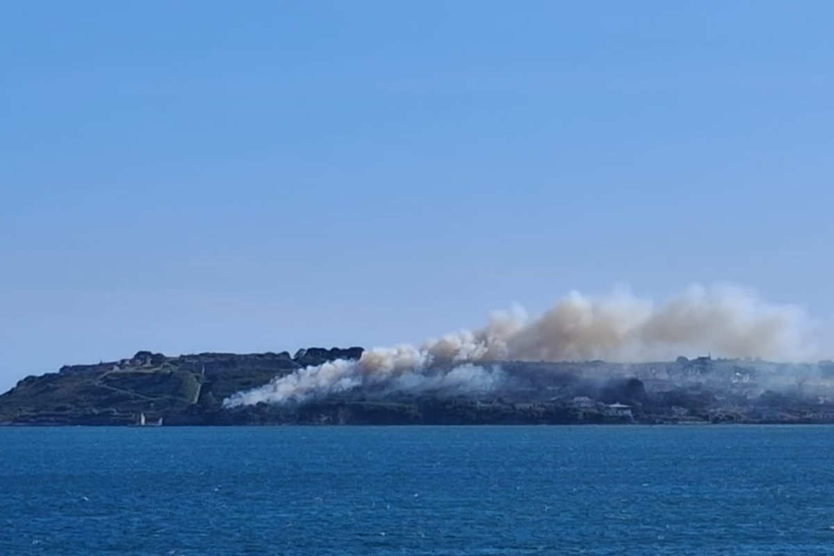
The fire by Camden Fort on Monday evening(Image: Cllr Audrey Buckley)
With a Status Yellow heat warning still in place for Cork and neighbouring counties, Met Éireann has warned that temps will soar again to the 28C mark on Tuesday.
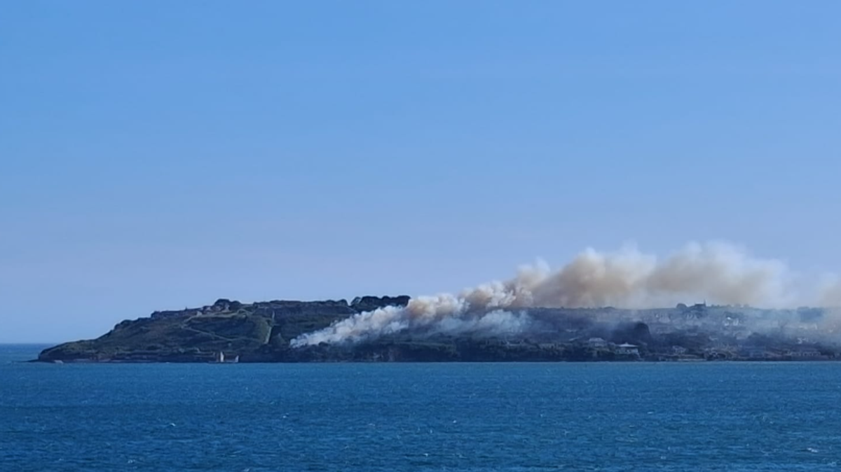
The heatwave rolls on as a fire blazes in Crosshaven this evening, with an area of gorse close to the historic Camden Fort Meagher burning this evening. Video shows white smoke pouring out across Cork Harbour after 6pm.
Dry plant material is particularly at risk during the current hot stretch – with staff at the popular Pitch & Putt course in Crosshaven this morning closing the attraction for the safety of their grass. The team explained: “Unfortunately, due to the extreme heat, we have no option but to close for the moment, due to the greens getting burned from all the foot traffic.”
They added: “There has been a lot of work put into our greens over the past two years, and it’s not worth the risk to lose them completely.”
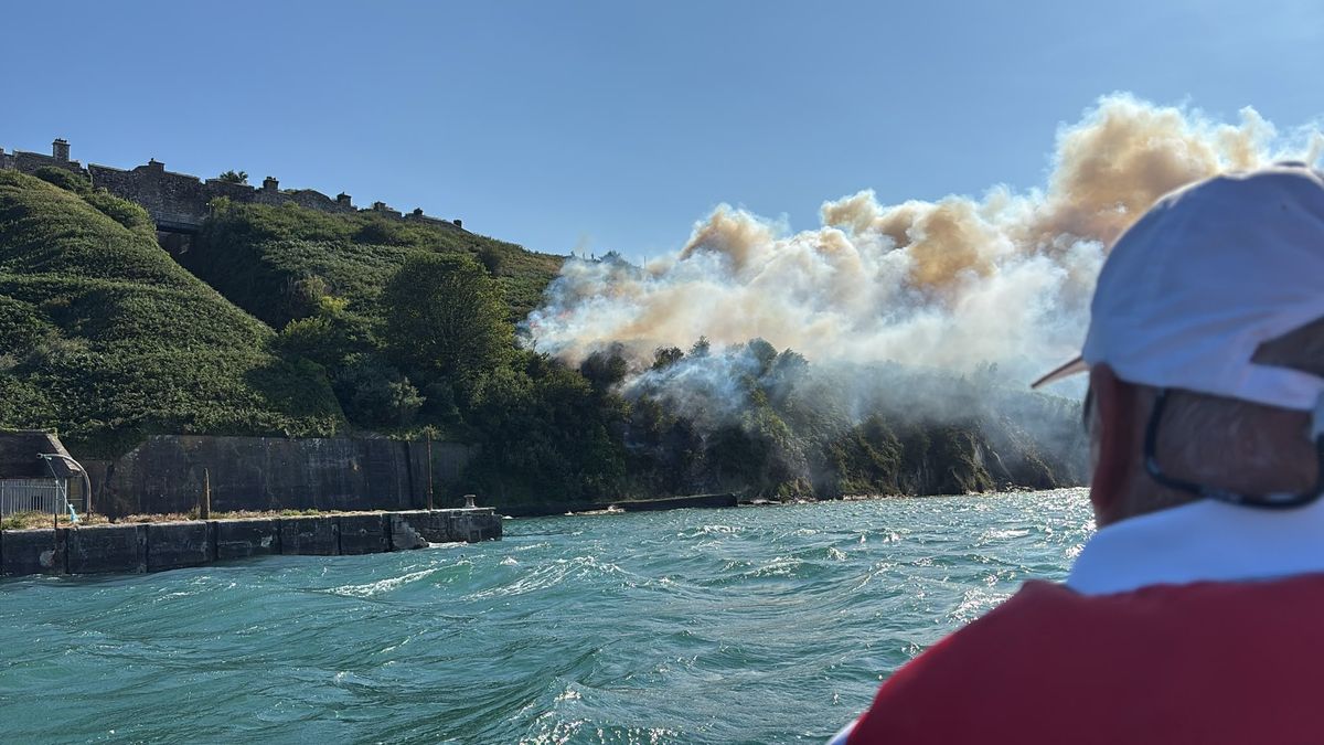
The blaze this evening(Image: Cllr Audrey Buckley)
Further north, a stretch of the M6 was closed in Westmeath due to smoke from a nearby bog fire, while beachgoers have been warned to keep an eye out for stinging jellyfish, drawn to Irish shores in the hot weather.”
Motorists have also been warned of a rare hazard, as sunshine has begun softening the tarmac along unshaded lanes – not so much splitting the stones as melting the roads.
In some areas, this has left cars skidding around corners or struggling to stop over a short distance. Roads have to reach a whopping 50°C before the tarmac starts going soft – but due to their surface’s dark colour, they absorb heat easily and can reach those temperatures even while the mercury is in the high 20s.
Temperatures are also set to hover above 14C overnight, with another uncomfortable night’s sleep in store across the county. You can read the full forecast for Cork and beyond below:
TODAY – Monday, July 13
Dry and mostly sunny this evening in a moderate easterly breeze.
TONIGHT
Tonight will be dry and mostly clear, with lowest temperatures of 14 to 18 degrees, staying warmest in the south, in light to moderate northeast winds.
TOMORROW – Tuesday, July 14
Tomorrow will be dry and sunny again. However, there is the very slight chance of an isolated shower in the southwest later in the day. Highest temperatures of 23 to 28 degrees, in moderate easterly winds.
National Outlook
Overview: The prolonged very warm or hot spell will continue for the week ahead. Temperatures will widely reach the mid to high 20s by day, with warm and possibly tropical nights. Largely dry and sunny but there is a chance of showers and thunderstorms developing in parts.
Tuesday night: Dry for most with clear skies. However, cloudier in the south and west with the chance of a few showers developing. Lowest temperatures of 14 to 19 degrees, warmest in the south, with light to moderate easterly breezes.
Wednesday: Another dry and sunny day for most. However, some heavy showers or thunderstorms may develop, most likely affecting parts of the south, midlands and west. Very warm or hot with highest temperatures generally of 23 to 28 degrees. Staying a bit cooler near the east coast in a light to moderate easterly breeze.
Thursday: Continuing very warm or hot with dry and sunny conditions for most, though there is a chance of heavy showers and thunderstorms developing, most likely affecting parts of the south and west. Highest temperatures generally of 24 to 28 degrees in light easterly breezes, becoming gusty near any showers.
Currently Friday looks to be sunny and very warm or hot for many with temperatures in the mid to high twenties, though a northerly breeze may bring somewhat cooler conditions to the north and northwest. Heavy showers or thundery downpours are possible in parts too.
Sign up here for our daily newsletter and get breaking news and top stories from Cork Beo direct to your inbox