
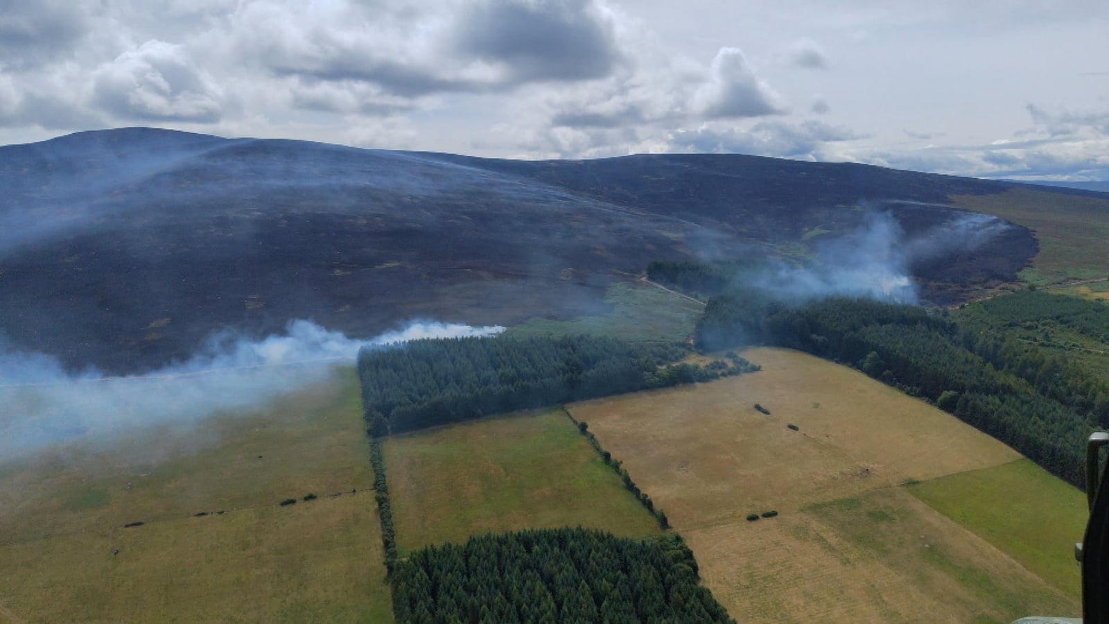
A Status Orange high forest fire risk warning has been extended nationwide until midday next Tuesday, as fire crews continue to manage and monitor flare-ups which have reignited across Slievenamon in Co Tipperary.
Acting Senior Assistant Chief Fire Officer at Tipperary Fire and Rescue Service Carol Kennedy said that due to the high temperatures in already burnt ground, it is not unusual for fire lines to reignite.
“It was a lot cooler on the ground here today but then the clouds broke because of the recent fires and at the moment it doesn’t take a lot to burn what’s on the ground,” she said.
The wildfire, now in its 10th day, is expected to continue until significant rainfall gets under way.
Ms Kennedy explained that although the recent rainfall has helped keep the fire at bay, it is not sufficient.
“We’re expecting around ten millimetres of rainfall between now and Monday which isn’t a significant amount.
“I’ve been in touch with the Met Éireann Duty Forecast Officer in the area so that we can pinpoint what will happen in the next few days”
She added: “It’s expected that the wind will pick up slightly tomorrow, then die down again. But if the rain comes at all, there will only be light showers that will pass through quite quickly.”
Despite the isolated flare ups, Ms Kennedy said that the scale and intensity of the fire have significantly reduced.
“There is no threat to life or property. Our main priority is to push the fire lines back and prevent them from crossing the firebreaks.
“I wouldn’t expect it [the wildfires] to get worse, as long as we can fend it off from the forestry.
“We’ll continue to put resources on it and respond to any hot spots that do appear and we’ll be monitoring it,” she said.
In a statement this morning, Tipperary County Council said the overall situation on Slievenamon remains “stable” with emergency services continuing to “manage and monitor the affected area”.