
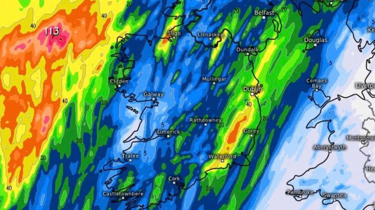
Thundery downpours are on the way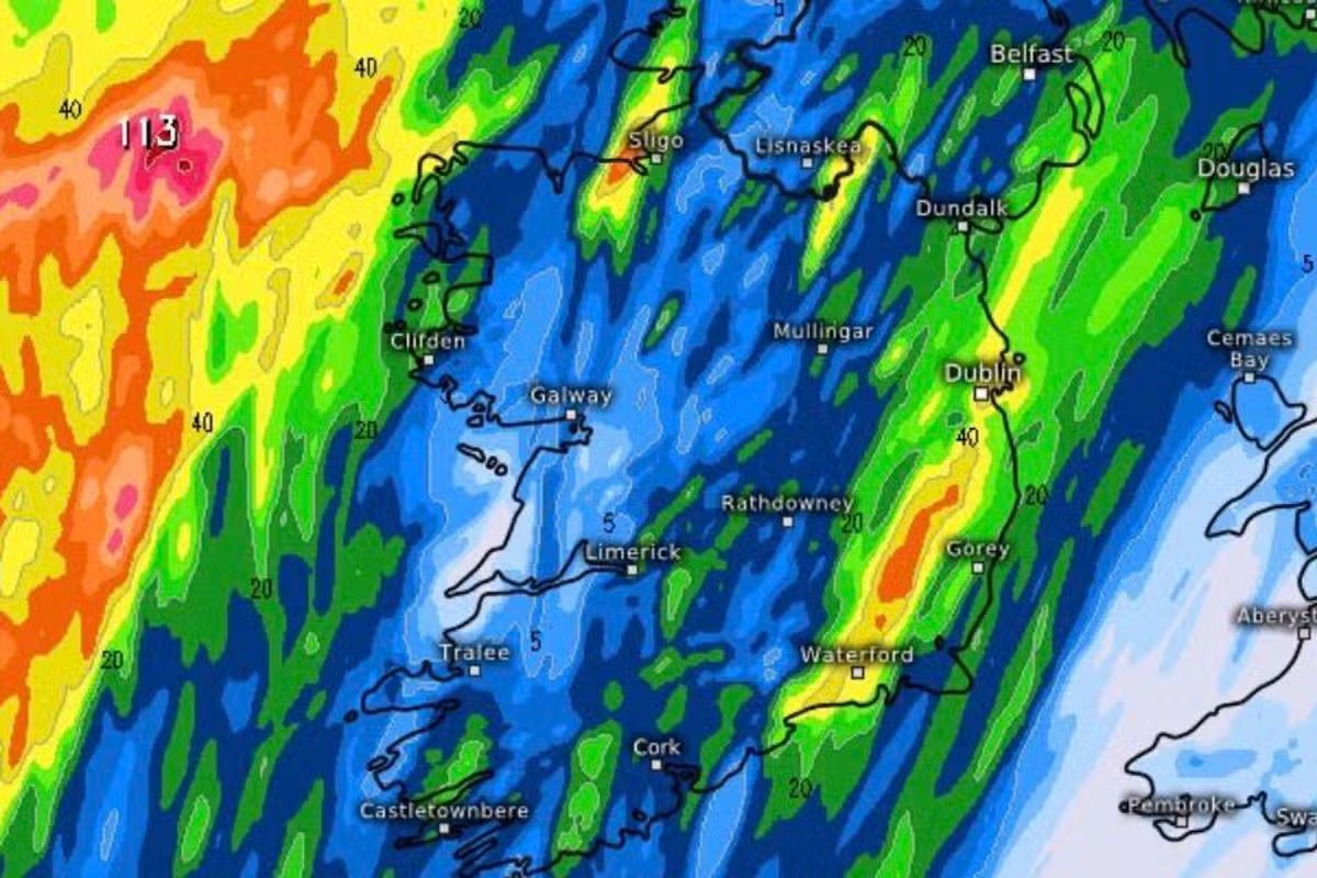
Thunder on the way
August has seen a major departure from the scorching conditions that most of Ireland enjoyed last month.
Amid an unusually long heatwave, glorious sunshine was a regular feature as people flocked to beaches up and down the country but the beginning of a new month coincided with a significant shift in weather.
Met Eireann has warned that thunderstorms are possible on Bank Holiday Monday and while it will remain quite warm and humid, as the day progresses sunshine will give way to heavy outbreaks of rain.
Temperatures will gradually decrease over the coming days as unsettled conditions take hold in many areas.
With thunder activity expected, you can follow the path of any thunderstorms using the interactive tracker below.
Met Eireann’s forecast for Bank Holiday Monday reads: “Largely cloudy on Bank Holiday Monday with scattered outbreaks of rain and drizzle continuing to affect much of the country. The best of any sunny spells will be towards the east and southeast during the afternoon.
“Some heavy and possibly thundery downpours will develop towards the evening bringing the chance of surface flooding. Becoming humid with highest temperatures of 18 to 23 degrees in light to moderate southeasterly winds.
“Cloudy with heavy showers continuing at first, but easing later in the night. Lowest temperatures not falling below 12 to 16 degrees in light southerly breezes.”
Uncertainty remains in the forecast beyond next weekend, with the national forecaster reporting a lack of a clear signal for either high or low pressure moving throughout the month.
Subscribe to our newsletter for the latest news from the Irish Mirror direct to your inbox: Sign up here.