
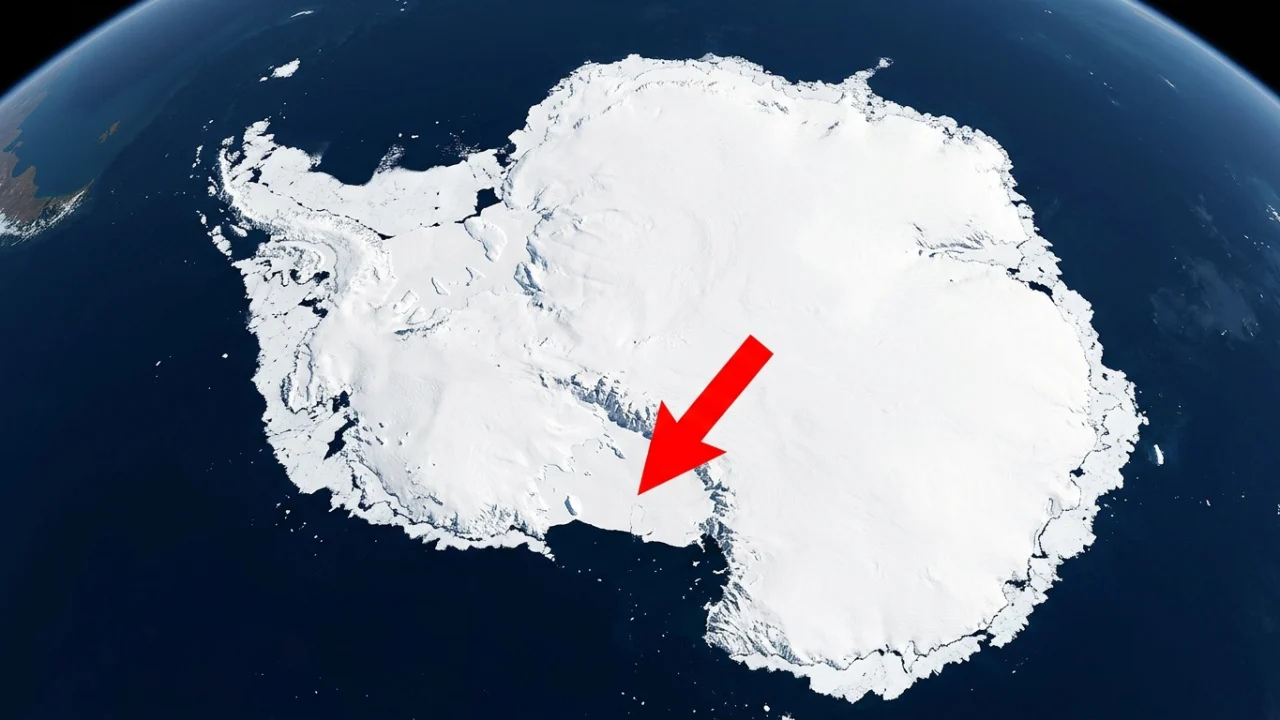
Recent satellite tracking reveals that Antarctic sea ice peaked at just 17.59 million square kilometers (6.79 million square miles) on September 14, marking the third-lowest maximum extent ever recorded. Data confirmed by the NASA Earth Observatory and the National Snow and Ice Data Center (NSIDC) shows that winter frozen cover continues to struggle in the Southern Hemisphere, offering fresh insight into shifting polar systems.
While seasonal freezing naturally expands outward each year, the scale of this freeze fell sharply below historic historical ranges. The findings point to deeper geographic and climatic dynamics that govern how ocean waters freeze and thaw around the southern continent.
The Record-Setting Measurements Behind the Winter Peak
Every year, scientists monitor Earth’s surface via satellite to chart polar extremes. The annual maximum represents the exact point where southern winter ice reaches its absolute physical limit before warmer temperatures trigger an inevitable retreat.
Scientists monitor these seasonal changes to better understand long-term trends in Antarctic sea ice and how the region is responding to changes in climate.
WARNING: THIS WILL CHANGE EVERYTHING!
Reaching only 17.59 million square kilometers places the recorded peak among the three lowest ever logged by modern instruments. This measurement reflects stark contrasts in regional freezing patterns across the polar waters.
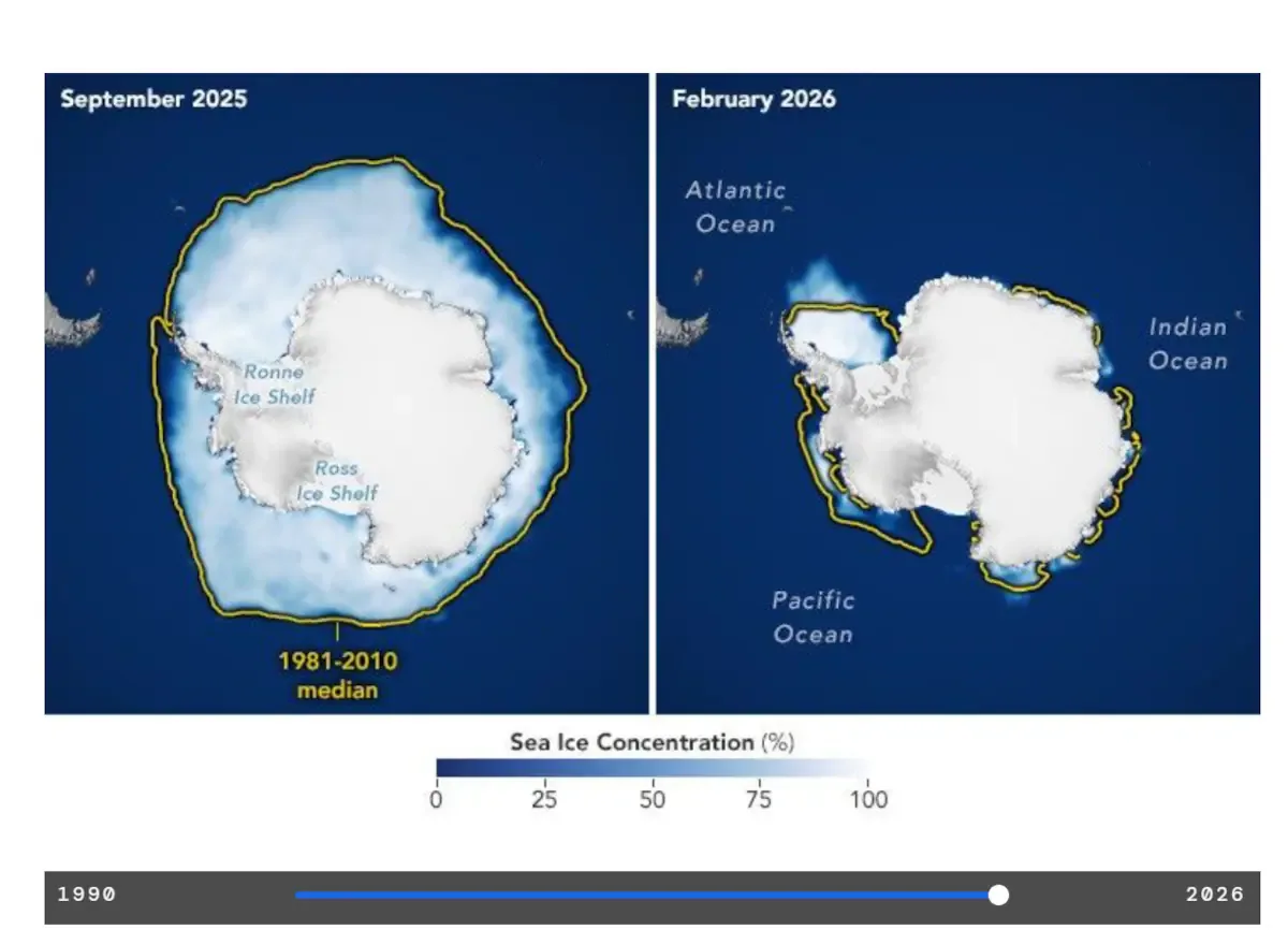
NASA satellite observations show how Antarctic sea ice expands during the Southern Hemisphere
Visual comparisons of the polar maps display white patches denoting heavy ice density, while dark blue areas mark completely open ocean waters. The stark transition between peak freeze and late-summer melt highlights an increasingly volatile cycle.
Contrasting Geography: Why Antarctica Differs From the Arctic
A widespread misconception is that both of Earth’s poles freeze and melt under the exact same structural conditions. In reality, the physical layouts of the two regions create entirely opposite environments for sea ice formation.
Continental Landmass Versus Enclosed Basin
The Arctic is fundamentally an ocean basin trapped within surrounding land masses. In sharp contrast, Antarctica is an elevated land continent encircled by endless open ocean.
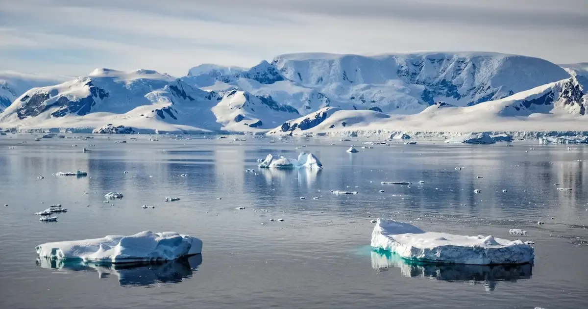
Room for expansion: Because no land barriers block the perimeter, southern ice can spread outward across vast distances during peak winter.
Exposure to warmer water: Unconstrained growth forces the outer edges into warmer ocean latitudes, accelerating melting as soon as spring arrives.
This layout creates a drastic swing between the annual September high and the February summer low.
Metric
Recorded Detail
Annual Maximum Extent
17.59 million sq km (6.79 million sq mi)
Historical Ranking
Third-lowest maximum on record
Peak Timing
Mid-September (Southern Hemisphere winter)
Minimum Timing
February (Southern Hemisphere summer)
These polar shifts present tangible evidence of changing environmental behavior across open waters.
💡 Tracking satellite data gives everyone a direct look at the stark environmental shifts happening at the planet’s southernmost edge.
🔍 Understanding the differences between continental ice and marine sea ice helps separate real trends from common assumptions.
👇 Leave your thoughts in the comments below about how changing polar trends compare across both hemispheres.