
A status-yellow weather warning covering 11 counties will come into effect on Monday afternoon, with strong and gusty south to southwest winds set to sweep over Ireland again.
The Met Éireann wind warning, which comes after storms Austen and Boelo, covers counties Carlow, Clare, Cork, Donegal, Galway, Kerry, Kilkenny, Mayo, Waterford, Wexford and Wicklow from 5pm until midnight.
The forecaster said the public should be aware of potential impacts including difficult travel conditions, fallen trees and branches, and large coastal waves.
The UK met office has also issued a yellow wind warning for Antrim, Down and Derry from 3am until midnight on Tuesday.
A status-yellow rain warning for Cork and Kerry, which advised of the potential for localised flooding, expired at 9am.
More than 40,000 homes and businesses were left without power on Sunday morning following Storm Boelo, with ESB Networks crews restoring power to the majority of these over the course of the day. The northwest and west regions were hardest hit.
“There are a number of homes, farms and businesses still without electricity as a result of Storm Boelo in the northwest of the country,” the company said in a statement on Monday.
“ESB Networks crews, including teams from other parts of the country, have been deployed since first light this morning to restore power to all remaining customers.”
Monday morning will start wet and breezy with widespread rain and drizzle along with moderate to fresh and gusty south to southeast winds. The rain will clear from southern and eastern areas during the afternoon, but another spell of rain will move in from the southwest during the late afternoon and evening, becoming widespread by early night. Highest temperatures will be between 14 and 17 degrees.
Tuesday will be a blustery day with fresh to strong southwesterly winds, veering westerly through the day. A mix of sunshine and showers throughout the day, with some turning heavy and the chance of isolated thunderstorms. Highest temperatures will be between nine to 12 degrees.
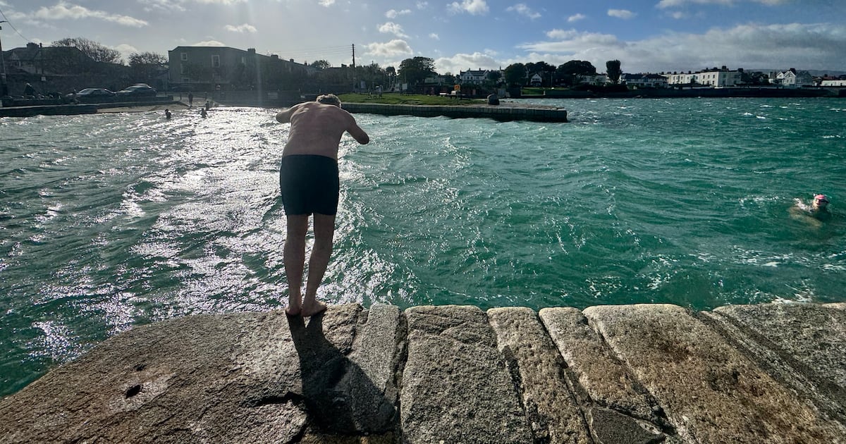
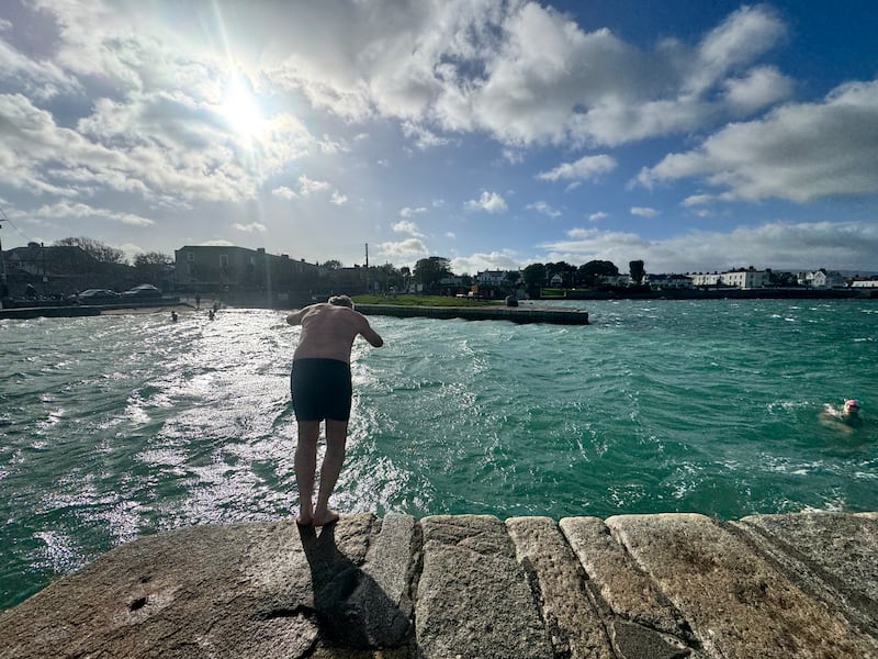 Swimmers at the Forty Foot in Sandycove, Dublin, brave the wind and cold at the tail end of Storm Boleo on Sunday. Photograph: Micheál O Scannail/PA
Wednesday will be mostly cloudy at first with lingering patches of light rain and drizzle. It will brighten up through the morning and afternoon with sunny spells developing and just isolated showers. Highest temperatures will be between 13 and 16 degrees.
Patchy light rain and drizzle will clear on Thursday morning to sunny spells and scattered light showers. Cloud will again build from the west through the afternoon, followed by rain and drizzle. Highest temperatures will be between 12 to 15 degrees, in moderate to fresh south-easterly winds.
Met Éireann said Friday is expected to be another dull and breezy day with rain spreading eastward. However, current indications suggest it will turn more settled next weekend.