
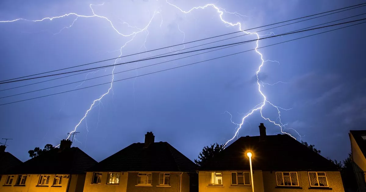
Met Eireann has issued a last minute Status Yellow thunderstorm warning for six counties this Halloween night.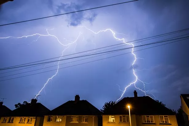 A Halloween thunderstorm weather warning has been issued(Image: Getty Images )
Parts of Ireland are set to be zapped by lightning this Halloween night while thunderstorms rumble. Met Eireann has issued a last minute weather warning for three hours of chaos in several counties.
In a stark update today, the national forecaster said: “A cloudy start tonight with rain moving northeastwards across the country, heavy and possibly thundery across Munster and Leinster. As the rain clears, it will be followed by a mix of clear spells and scattered showers feeding in from the Atlantic. Lowest temperatures of 5C to 8C with moderate to fresh southwesterly winds.”
The Status Yellow thunderstorm warning, active from 7pm until 10pm, covers Carlow, Kilkenny, Wexford, Wicklow, Cork and Waterford, where torrential downpours, thunderstorms, spot flooding and difficult travelling conditions are expected to put a dampener on trick or treating plans.
These counties may already be hearing distant rumbles as the storm front sweeps in from the south, bringing sudden thundery downpours.
Looking beyond Halloween, Met Eireann says the unsettled spell is far from over, with low pressure set to dominate the weekend. It explained: “Low pressure dominating the weather will bring unsettled and mixed conditions.”
Giving a day by day breakdown of what to expect, it said: “A bright and mostly dry start Saturday with just some showers, mainly confined to Atlantic coastal areas. The showers will become more frequent in the afternoon and spread further east. They will be heavy at times with a chance of hail. Breezy with moderate to fresh southwesterly winds. Highest temperatures of 9C to 12C.
“A mostly dry and clear night Saturday with showers becoming confined to Atlantic coastal counties. Lowest temperatures of 3C to 7C with light to moderate winds, fresher on western and northwestern coastal areas.
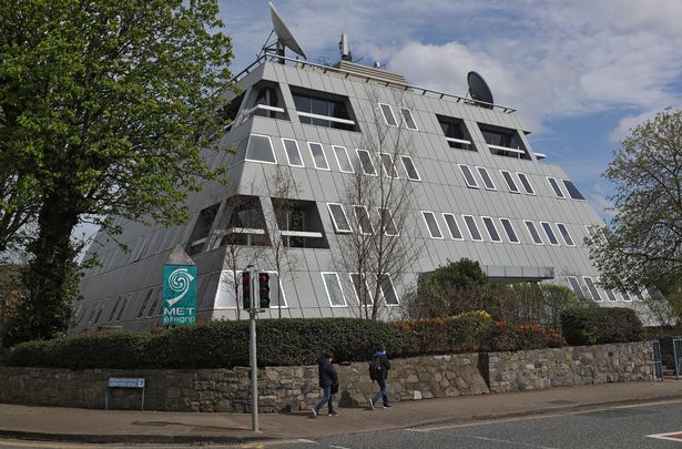 Met Eireann HQ in Glasnevin, Dublin(Image: Colin Keegan, Collins Agency, Dublin)
“A mostly dry and bright start Sunday with any showers confined to Atlantic coastal areas. However, cloud will push into the southwest in the morning, gradually extending northeastwards to most areas by late afternoon. This will be accompanied by outbreaks of rain and drizzle, remaining driest in parts of the east and southeast. Highest temperatures of 9C to 12C with moderate to fresh westerly winds, stronger on western coastal areas.
“Wet and windy Sunday night with widespread rain, heaviest over the western half of the country. Mild with lowest temperatures of 12C to 14C with fresh to strong southwesterly winds.”
Subscribe to our newsletter for the latest news from the Irish Mirror direct to your inbox: Sign up here.