
Because of increasing global temperatures and rising sea levels, a large portion of Canada’s pristine coastline is facing the risk of significant erosion.
What’s happening?
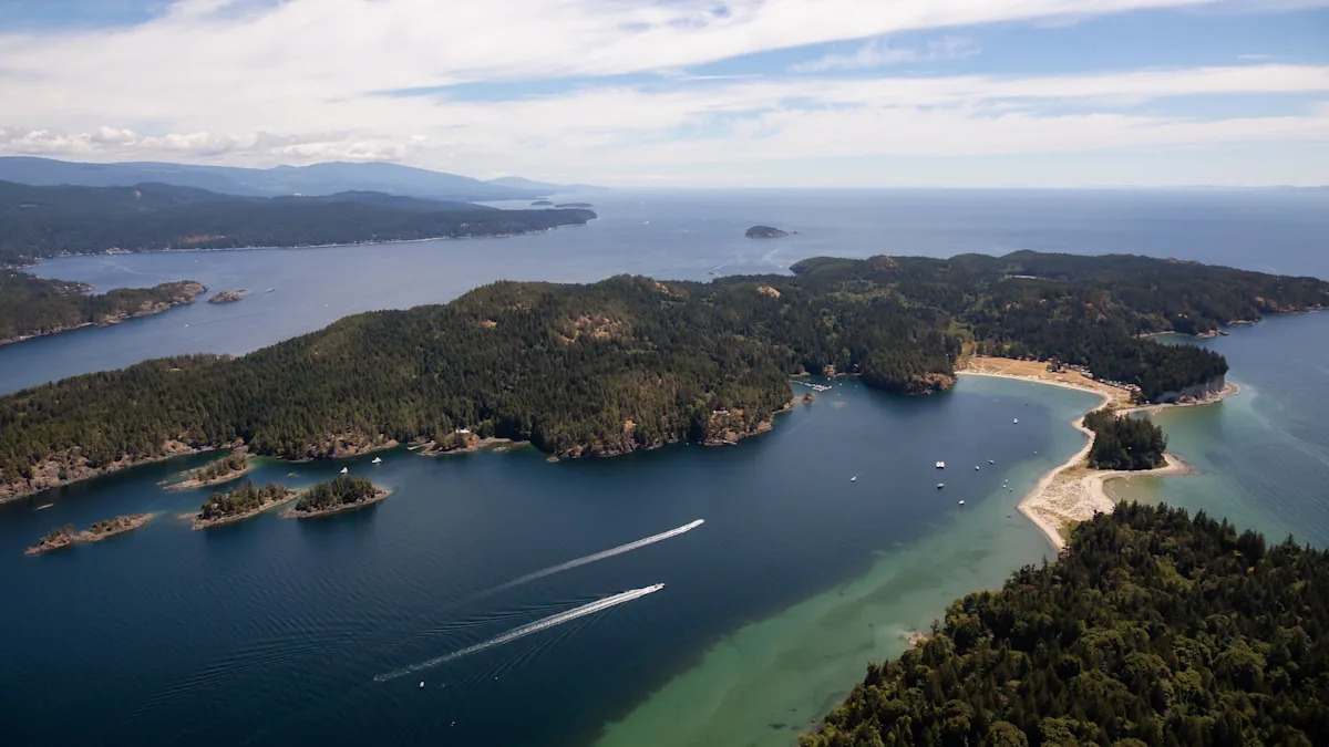
As Coast Reporter reported, parts of the Sunshine Coast in British Columbia could soon look a lot different. The Sunshine Coast Regional District’s Coastal Flood Mapping Project determined that 9% of the coastline was highly vulnerable to erosion and 7% of properties had “flooding hazards at current sea levels.”
The collaborative project involved the SCRD as well as the town of Gibsons, district of Sechelt, and Islands Trust. The goal was to make land use planning and policy recommendations to address the growing risk to over 300 miles of the region’s coastline.
The project created maps to visualize areas vulnerable to coastal flooding under different sea level rise and storm surge scenarios. Officials also developed policy recommendations to better improve regulations and adapt to future hazards.
Why is the coastline mapping project important?
As carbon pollution continues to climb, so do global temperatures, which are directly linked to an increase in sea levels. Not only do warmer temperatures lead to the thermal expansion of water, but the melting of land-based ice such as glaciers and ice sheets in the Arctic adds to the volume of oceans as well.
Higher sea levels can worsen coastal flooding by supercharging storm surges, making them more severe and destructive. This jeopardizes the viability of coastal communities around the globe and puts the lives of hundreds of millions of people at risk.
The information provided by the SCRD mapping project and others like it has the potential to help residents and local authorities prepare for flood events and make better emergency preparedness decisions.
“With this tool, anybody in our community can jump into the SCRD map and see what the impacts will be. … Everybody should see it and how it is going to impact them,” board chair Alton Toth said.
What’s being done about rising sea levels?
In order to lessen the damage of rising sea levels, many countries are implementing plans to transition to renewable energy sources, which reduce reliance on planet-heating dirty energy sources. Other hands-on initiatives involve the installation of natural barriers such as mangroves and wetlands to offset the damage caused by flood waters.
To prepare for risks in the short term, communities such as those on the Sunshine Coast are educating residents on the impacts of erosion and flooding. This can go a long way in informing decisions on their future and how they might be able to protect properties.
“For homeowners whose properties fall below the flood risk lines identified in the mapping, there are practical steps available to reduce potential flood impacts in the coming decades,” the SCRD wrote. “The Green Shores program is one example of available support, helping landowners and construction professionals create more secure, nature-based shorelines that resist erosion and flooding while enhancing natural beauty and property value.”

��
Get TCD’s free newsletters for easy tips to save more, waste less, and make smarter choices — and earn up to $5,000 toward clean upgrades in TCD’s exclusive Rewards Club.