
Adding cul-de-sacs and a new city park
14:51, 13 Dec 2025Updated 18:31, 13 Dec 2025
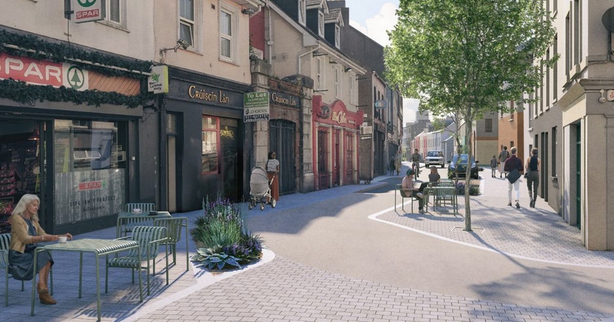
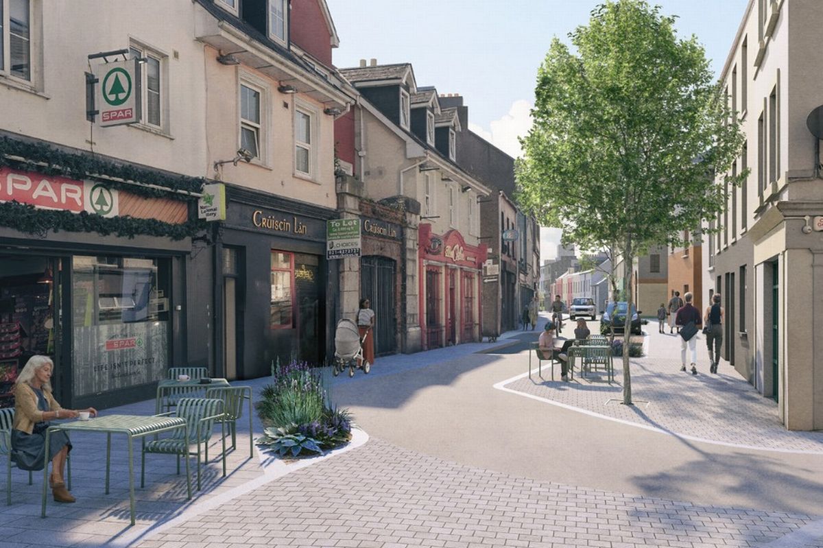 A graphic of the Public Realm Enhancement Scheme for Mary Street, Douglas Street and White Street
Major plans to revamp one of Cork city‘s most “culturally vibrant” spaces have been given the go-ahead – as the Council aims to drastically cut traffic in the area.
The Public Realm Enhancement Scheme for Mary Street, Douglas Street and White Street has been greenlit by Cork City Council. Their ambitious plans aim to completely transform the area, adding a “distinctive village within the city” that boosts pedestrian infrastructure. The original proposed design aimed to completely remove through traffic to make the areas around Douglas Street “safer and quieter.”
These plans were open to public consultation in September 2024, during which many submitted concerns about the new traffic measures and removal of parking spaces in the area. In response, design teams added some new parking spaces to the plans and aimed to “review alternative traffic configurations.”
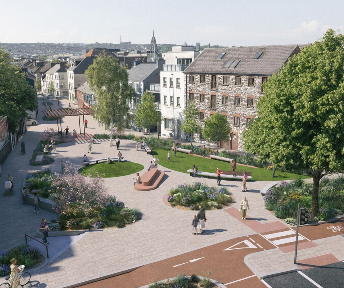 The planned city park
The latest update on the Public Realm Enhancement project on their website – posted before the public consultation held just months ago, where the Council received 199 submissions – lists a range of changes expected as part of the plan. This includes widening footpaths and bringing in new controlled and uncontrolled pedestrian crossings throughout the scheme.
Other expected changes involve adding a small city park at the eastern end of Douglas Street, all while converting a section of the road into a “shared surface two-way cul de sac.”
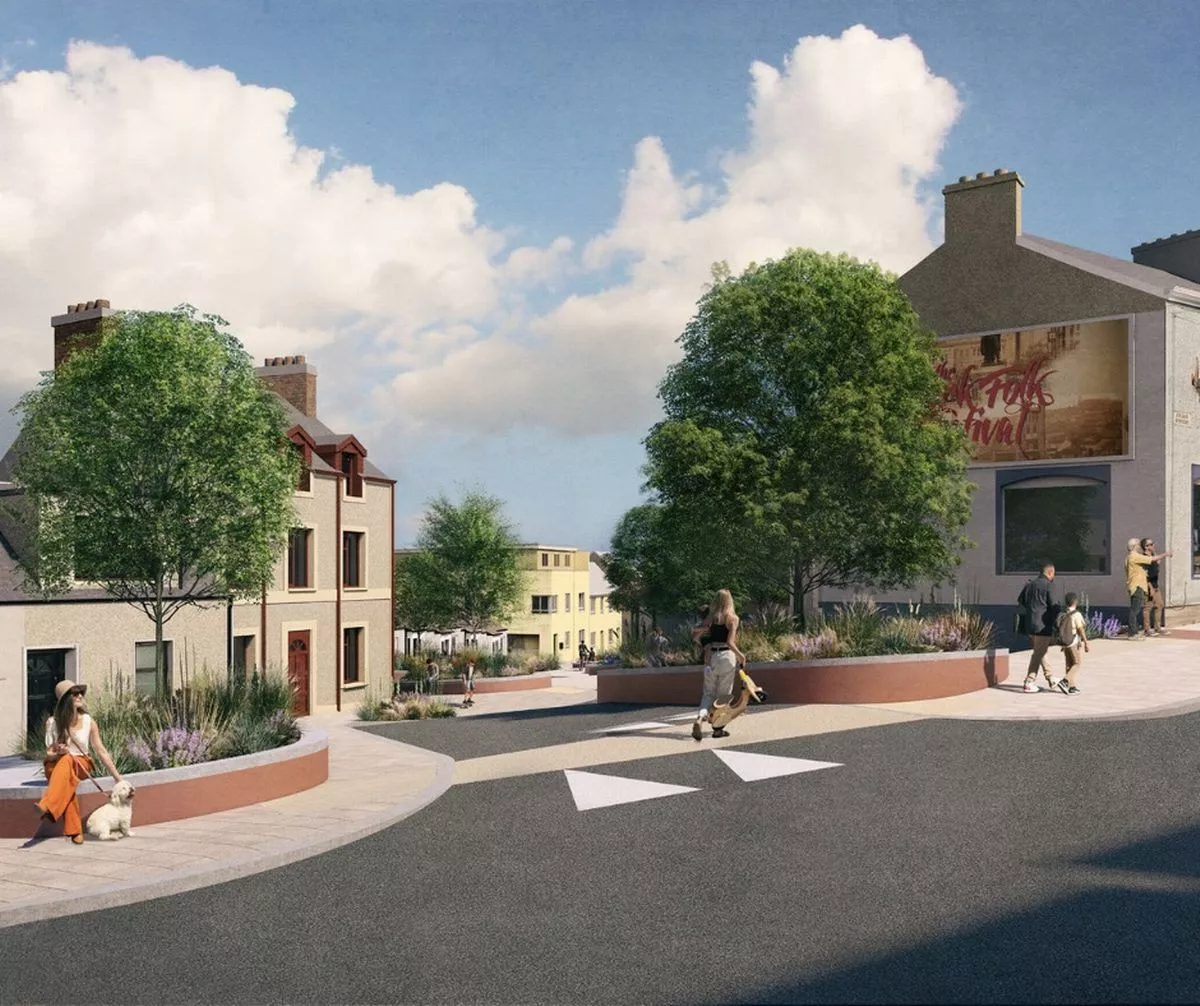 Proposed changes on Abbey Street
The other listed features of the plan include:
Conversion of Abbey St. into a shared surface two-way cul-de-sac street, incorporating removable barriers at the junction between Abbey St. and Mary St. allowing emergency vehicle access through to Douglas St. from Abbey St.;Creating a cul de sac street on the northern section of Travers St.;Creation of a shared active travel facility on Douglas St. between the junctions with Mary St. and Dunbar St. with emergency vehicle access only;Conversion of Douglas St. into a one-way east bound street between the junctions of Dunbar St. and Rutland St.;Introduction of a small city park on the eastern end of Douglas St. and removing vehicle access to and from Douglas St. from the junction with Langford Row;Converting the existing signalised junction between Langford Row and Douglas St. into a protected junction with protected cycle facilities;Conversion of Meade St. into a one-way south bound street;Conversion of Drinan St. into a one-way north bound street;Conversion of Cove St. into a one-way east bound street between the junctions with Meade St. and Drinan St.;Conversion of Cove St. into a one-way west bound street between the junctions with Mary St. and Goulds Sq.;Conversion of White St. to a one-way south bound street;
You can find out more about the Public Realm Enhancement Scheme for Mary Street, Douglas Street and White Street on the Council’s website here. Construction is expected to start in late 2026 or early 2027.
This update comes after Cork City Council recently confirmed the route for a major new orbital road on the northside of the city. The proposed new Cork Northern Distributor Road will be 14km, connecting the Carrigrohane Road at its western end to Glanmire in the east. It will cross the northern side of Cork city through Hollyhill, Dublin Hill and Banduff. And Cork City Council have given an update that it could be open in the next decade.
You can learn more about its planned route here.