
A number of status yellow weather warnings have been issued for the entire country this weekend as temperatures are forecast to fall to as low as -4 degrees, Met Éireann has said.
The weather across Ireland will turn colder, with the mild temperatures of recent days dropping to below zero.
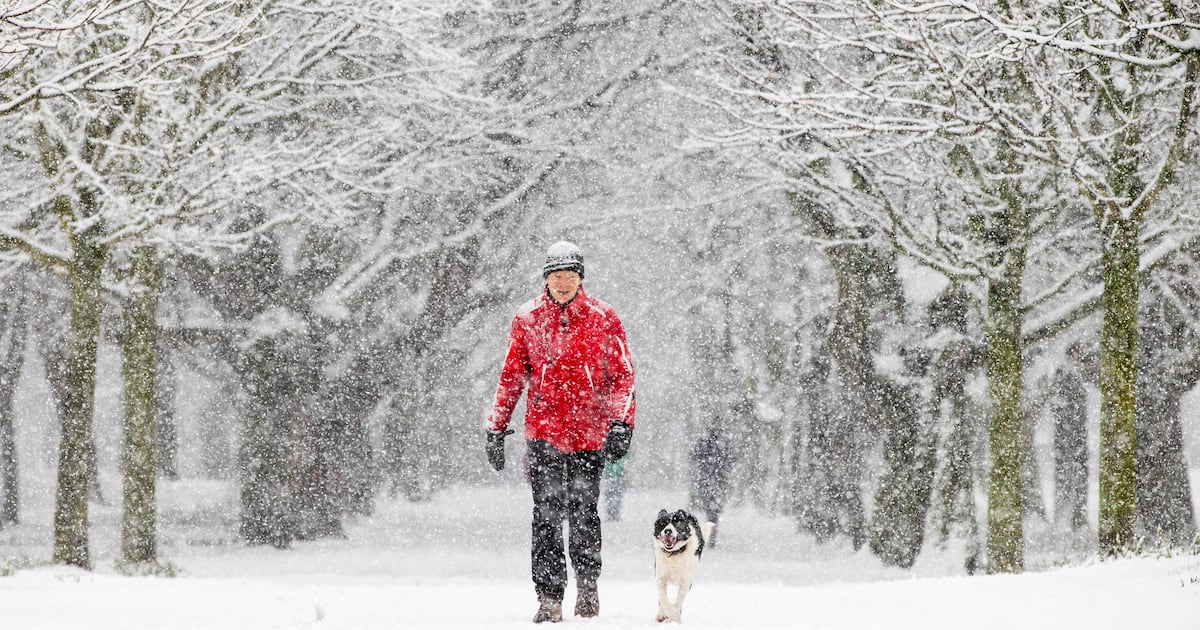
Met Éireann said wintry showers in many areas could result in snow accumulations, leading to potentially hazardous travel conditions and poor visibility.
It has issued a status yellow snow and ice warning for Donegal, which will come into effect at 8pm on Friday, lasting until 11am on Saturday.
A status yellow temperature and ice warning has been issued for all of Munster, as well as Carlow, Dublin, Kildare, Kilkenny, Laois, Longford, Meath, Offaly, Westmeath, Wexford and Wicklow.
It will be in place from 6pm Saturday until 11am Sunday.
Another status yellow snow and ice warning will take effect in Cavan, Donegal, Monaghan, Connacht and Louth from 6pm on Saturday until 11am on Sunday.
On Sunday, a status yellow snow and ice warning will come into effect from 6pm for Cavan, Donegal, Monaghan, Connacht and Louth, until 11am on Monday.
During that same time, a status yellow low temperature and ice warning will be in effect for Carlow, Dublin, Kildare, Kilkenny, Laois, Longford, Meath, Offaly, Westmeath, Wexford, Wicklow and Munster.
Met Éireann has warned of snow accumulations and sharp or severe frost and ice during this period.
A status yellow snow and ice warning for Northern Ireland, has been issued by the UK Met Office, coming into effect at 3pm on Friday until noon on Saturday. It said the adverse weather has “the potential to cause disruption to travel in places throughout the weekend and into Monday morning”.
Holly O’Neill, a forecaster with Met Éireann, said it is unlikely there will be widespread snow across the country, and if there are any accumulations they will probably be in the north and northeast of the country.
“It’s quite short lived. It’s Saturday, Sunday and into Monday. The concern right now is the frost and ice developing over night, under clear skies,” she said.
“We’re concerned that a lot of people are back to school on Monday, a lot of people are back to office jobs, and when we’re seeing those cool temperatures overnight and they carry into early morning, you don’t see that frost thaw … leading to potentially dangerous travel conditions.
Ms O’Neill said the weather is typical for this time of year.
“We’re having all of that northerly cold air coming from the Arctic. When that air arrives at land, you get those showers. That’s just the nature of why we’re seeing it,” she added.
Met Éireann forecast cloud and patchy rain over the southern half of the country throughout Friday morning, turning to sunny spells and scattered showers in the afternoon.
In Ulster and Connacht, there will be some falls of sleet or snow. Friday night will be cold, with frost and ice developing under clear skies.
Falls of sleet and snow will continue for Ulster and Connacht. Elsewhere it will remain largely dry. Lowest temperatures will be between – 2 and 3 degrees in light to moderate northwesterly winds.
Saturday will have plenty of sunshine, with scattered wintry showers continuing for Ulster and Connacht. In Dublin, it will be largely dry, with a small chance of passing showers.
In Cork, Saturday night is due to be colder than in the east of the country, with lows of – 4 degrees.
Going into Sunday, it is set to be cold, with sharp to severe frosts developing overnight. These conditions may be slow to clear during the day, the forecaster has warned, cautioning about potentially dangerous driving conditions. There will be wintry showers, mainly in the north and northwest.
Sunday night will be very cold and mostly dry, with further wintry showers continuing in the north and west. Temperatures will drop to as low as – 4 degrees.
Monday night will be another cold one, with lowest temperatures of between – 4 and 0 degrees.
However, Tuesday will be a turning point when it will become less cold as cloud builds from the west through the night. There will be outbreaks of rain on Tuesday morning in the west and southwest.
Met Éireann said there is “some uncertainty” about the outlook for the rest of the week, but that current indications suggest further unsettled conditions.