
Met Eireann has warned that temperatures will plummet as low as -6C on Sunday evening, with ‘widespread sharp to severe frost and icy stretches’ forecast
10:21, 04 Jan 2026Updated 10:23, 04 Jan 2026
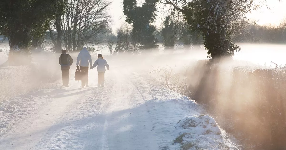
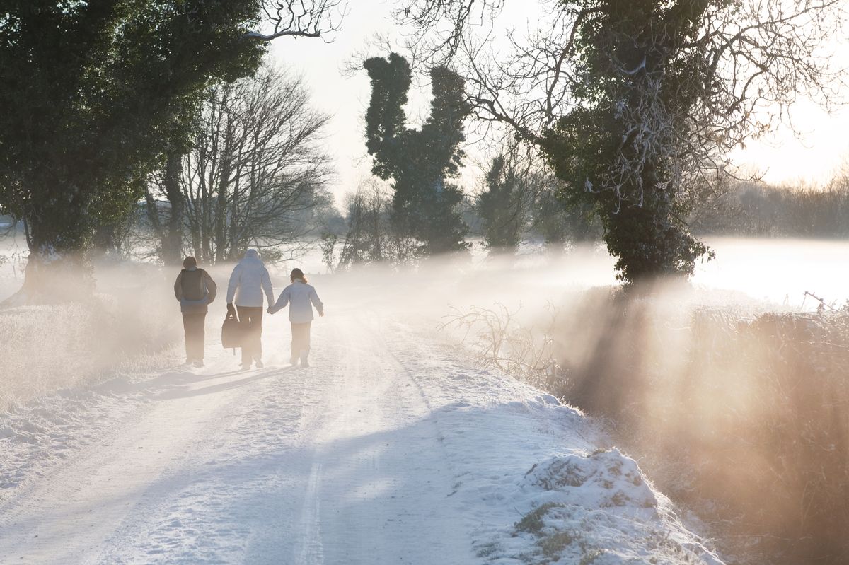 Met Eireann issue new warning as bitterly cold front is set to bring more snow (Image: Getty Images )
Met Eireann has issued a fresh Status Yellow – Snow/Ice weather warning for nine counties as the bitterly cold conditions which have gripped Ireland this weekend look set to continue.
On Friday, Met Eireann issued a series of overlapping weather warnings for snow, frost and ice which cover the entire country, with the national forecaster warning of hazardous travel conditions and poor visibility, particularly overnight and during early morning hours.
A status yellow low temperature and ice warning came into effect at 6pm on Saturday for Munster, Carlow, Dublin, Kildare, Kilkenny, Laois, Longford, Meath, Offaly, Westmeath, Wexford and Wicklow.
The weather alert will remain in place until 11am this morning, with temperatures falling to between -2C and -4C, bringing sharp or severe frost and widespread icy stretches.
A separate status yellow snow and ice warning is in place over the same period for Connacht, Cavan, Donegal, Monaghan and Louth, with Met Eireann warning that wintry showers, snow accumulations and icy conditions will create difficult travel conditions and poor visibility.
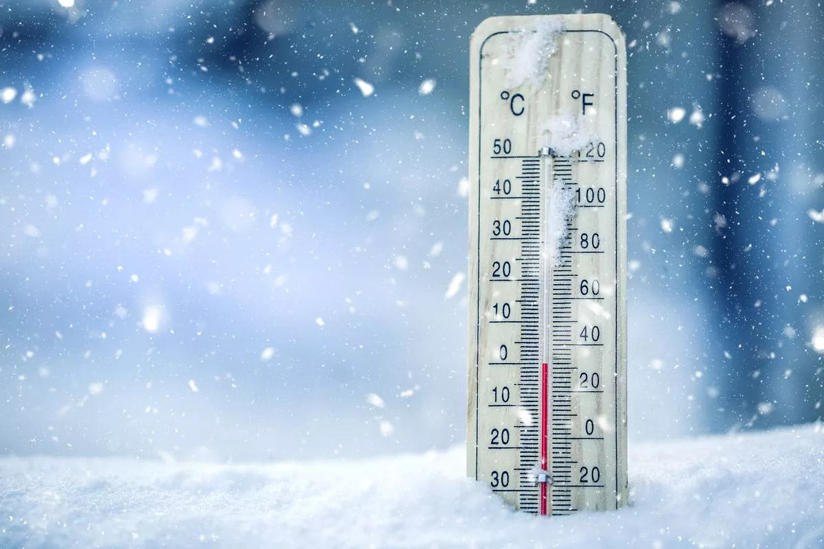 Temperatures will drop to -6C on Sunday night
Met Eireann has now issued a fresh status yellow – snow-ice warning for Cavan, Donegal, Monaghan, Louth and all five counties in Connacht (Galway, Leitrim, Mayo, Roscommon, and Sligo).
The weather alert came into effect at 8.22am on Sunday morning and will remain in place until 11am on Monday morning, with Met Eireann warning those living in the affected areas that temperatures are expected to fall to between -2C and -4C degrees in many areas.
Met Eireann has also extended Status Yellow – Low Temperature/Ice warning which was issued for Carlow, Dublin, Kildare, Kilkenny, Laois, Longford, Meath, Offaly, Westmeath, Wexford, Wicklow and Munster. The warning will now come into force an hour earlier, at 5pm on Sunday evening, and will remain in place until 11am on Monday morning.
In their latest forecast, Met Eireann warned that there will be treacherous conditions starting out today with a widespread sharp to severe frost, icy stretches and some fog too.
Scattered wintry showers of sleet and snow will occur across northern and western counties with local accumulations and the odd rumble of thunder. Spells of winter sunshine for the main elsewhere though the odd flurry may occur too.
Later this afternoon, rain will arrive into the southwest, turning to sleet or snow over higher ground. The national forecaster has said it will be “very cold” with highest temperatures of only 1C to 5C in light to moderate westerly winds.
The bitterly cold conditions will continue into Sunday evening with widespread sharp to severe frost and icy stretches forecast.
Scattered wintry showers will continue, most frequent in the North and West, with some snow accumulations. Patches of fog or freezing fog may form too, with lowest temperatures of -6C to -1C in light to moderate northwesterly winds.
Subscribe to our newsletter for the latest news from the Irish Mirror direct to your inbox: Sign up here.