
A number of weather warnings will be in place for several counties across the weekend
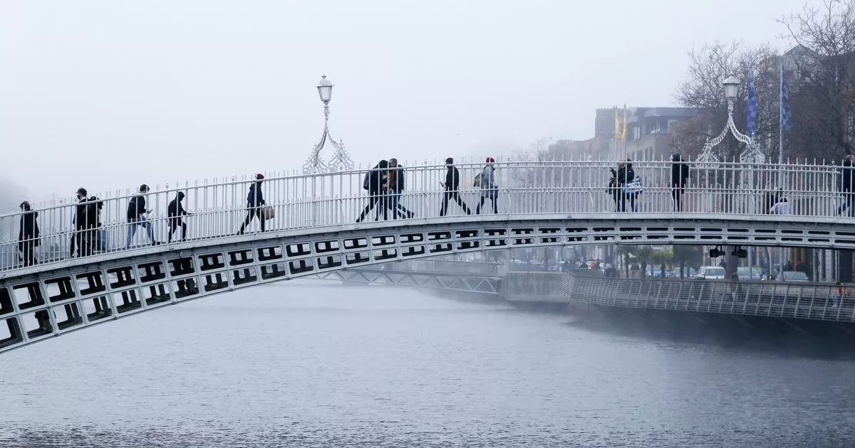
The Ha’penny bridge on a foggy morning in Dublin City, Ireland – stock photo(Image: )
Met Eireann has issued a Status Yellow weather warning for five counties as the majority of the country woke up to cold and frosty conditions on Saturday.
A Status Yellow – Fog warning has been issued for Dublin, Kildare, Louth, Meath and Wicklow, with the national forecaster warning that freezing fog will be prevalent in eastern counties which could lead to hazardous travelling conditions.
The warning came into effect at 6.17am on Saturday morning and will remain in place until 10am today.
Issuing the warning, Met Eireann said that those living in the five counties should be on alert for “areas of dense fog and freezing fog,” which could “lead to impaired visibility and hazardous travelling conditions”.
The weather warning issued on Saturday morning comes as a seperate weather alert is set to come into force for seven counties on Sunday.
On Friday, Met Eireann issued a Status Yellow wind warning for Clare, Kerry, Donegal, Galway, Leitrim, Mayo and Sligo. The warning is valid from 4pm to 10pm on Sunday.
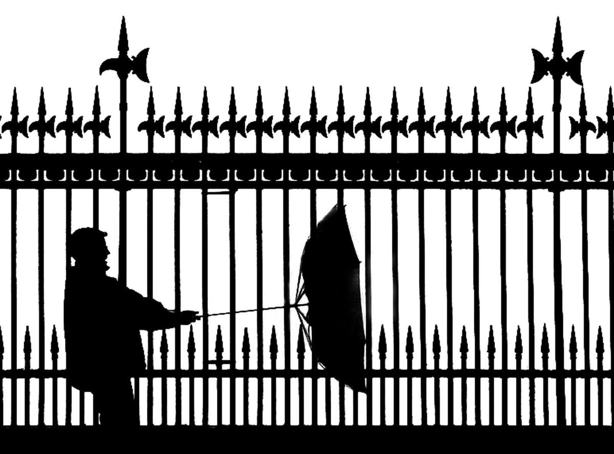
A wind warning will take effect for seven counties on Sunday (Image: )
Met Éireann warned these areas would be “windy with strong and gusty southwest winds”.
Potential impacts from the warning include some wave overtopping, loose objects displaced, some fallen trees and branches and difficult travelling conditions.
In their latest forecast, Met Eireann warned that it will be cold in most areas this morning with frost, ice and fog or freezing fog in parts of the north midlands and east slowly clearing.
It will be a dry start to the day with some sunny spells for most for a time, but there’ll still be scattered showers this morning, mainly in Ulster and parts of the west, a few heavy and wintry in the north.
Cloud will build from the west with scattered outbreaks of rain and drizzle spreading from the west through the afternoon and evening. It’ll stay dry for many eastern parts for daylight hours.
Highest temperatures of 4C to 9C , coldest in the northeast, with the higher temperatures in the southwest. Winds will be light southwesterly or variable, becoming south to southeast later and freshening a little further west.
It will turn cloudy tonight with outbreaks of rain and drizzle along with some hill and coastal mist and fog.
The national forecaster warned that it’ll become rather windy with southerly winds increasing fresh to strong and occasionally gusty.
Lowest temperatures of 2C to 5C are expected in the north and east initially, but between 6C and 9C elsewhere, with those less cold conditions extending to all areas overnight.
Sunday will be a cloudy day with outbreaks of rain and drizzle at times, along with some hill and coastal mist and fog.
Some drier spells will develop in parts, especially during the morning, before more rain moves up from the south through the afternoon, becoming heavy at times.
A clearance will start to extend from the southwest and west on Sunday evening.
Southerly winds will decrease moderate to fresh in the morning, before it becomes windy again through the afternoon and evening, with south to southwest winds increasing strong and gusty and reaching near gale to gale force in Atlantic coastal areas.
It will be much milder than recently with highest temperatures of 9C to 12C.
Subscribe to our newsletter for the latest news from the Irish Mirror direct to your inbox: Sign up here.